-
-
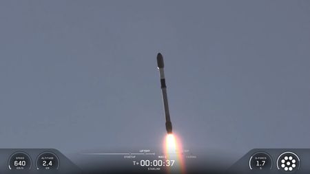
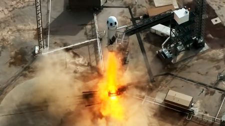
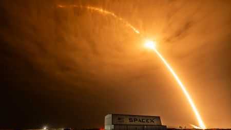 SpaceX launches flight-proven rocket for 600th time, sending Starlink satellites to orbit
 -
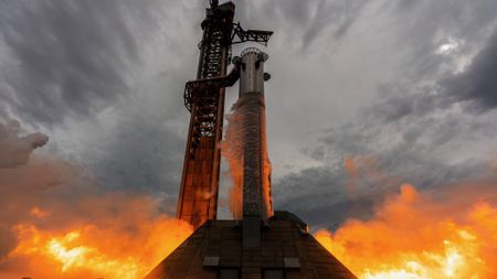
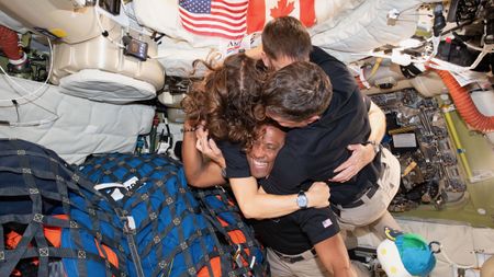
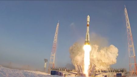
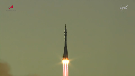 Russia launches NASA astronaut Anil Menon and 2 cosmonauts to the International Space Station (video)
 -
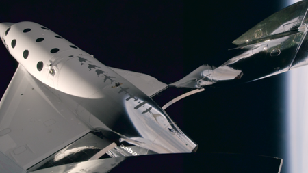
 1st-ever X-rays in space offer hope for possible patients headed to the moon
 -
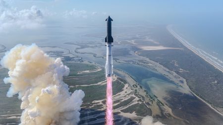
 SpaceX Starship Flight 13 launch updates: Super Heavy booster rolled back for final checkouts
 -
 How to watch SpaceX launch Starship Flight 13 on July 16
 -
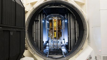
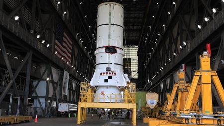 NASA begins stacking rocket ahead of 2027 Artemis III astronaut launch (photos)
 -
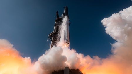 SpaceX targets July 16 for Starship Flight 13, reveals what went wrong on previous launch6 Comments
-


-
-
1st-ever X-rays in space offer hope for possible patients headed to the moon
-
 Supreme Court ruling on mail-in ballots ensures astronauts can vote from space — or anywhere else9 Comments
 -
 Wally Funk, trailblazing pilot and astronaut, dies at 872 Comments
 -
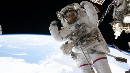 Astronaut flexes his muscles mid-spacewalk | Space photo of the day for July 7, 2026
 -
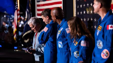
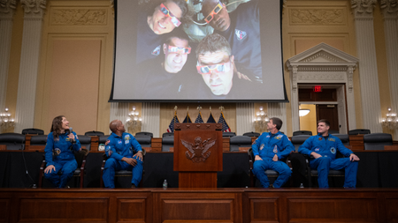 Artemis moon astronauts visit Capitol Hill | Space photo of the day for July 6, 2026
 -
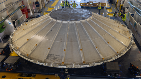 'Flying saucer' arrives at NASA for Artemis 3 moon mission in time for World UFO Day | Space photo of the day for July 2, 2026
 -
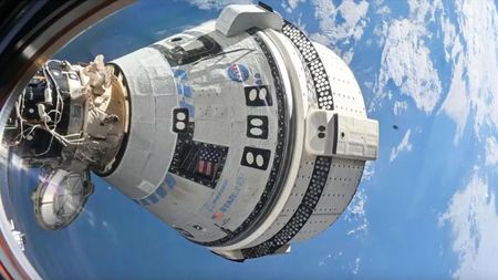 NASA audit puts Boeing's Starliner under an even bigger microscope: When will it fly astronauts again?10 Comments
 -
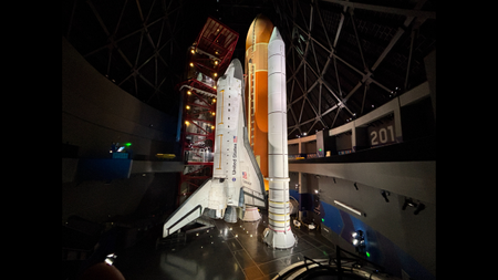 I got a sneak peek at space shuttle Endeavour's new home in California, and it's breathtaking (photos)
 -
 Menstruation in space will be studied for 1st time with 'Operation Period'7 Comments
-


-
-
SpaceX launches flight-proven rocket for 600th time, sending Starlink satellites to orbit
-
Russia launches NASA astronaut Anil Menon and 2 cosmonauts to the International Space Station (video)
-
SpaceX Starship Flight 13 launch updates: Super Heavy booster rolled back for final checkouts
-
How to watch SpaceX launch Starship Flight 13 on July 16
-
SpaceX targets July 16 for Starship Flight 13, reveals what went wrong on previous launch6 Comments
-
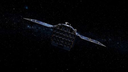
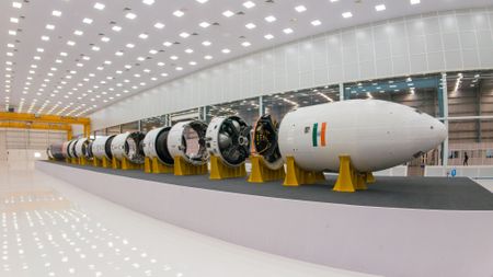 Getting Vikram-1 to orbit: Inside Skyroot Aerospace's coming bid to make spaceflight history
 -
 SpaceX Falcon 9 rocket launches for 35th time, hauls Starlink satellites to orbit (video)2 Comments
 -
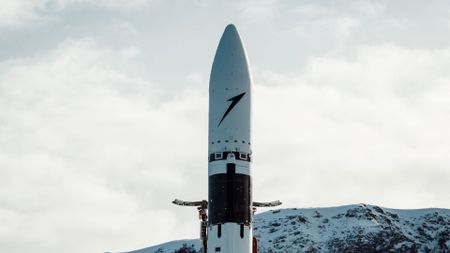 Launching from 2 continents: Germany's Isar Aerospace leases Canadian pad for $150 million
 -
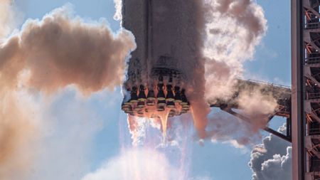
 SpaceX ignites all 33 powerful engines on Starship booster ahead of Flight 13 launch (video)3 Comments
-


-
-
NASA begins stacking rocket ahead of 2027 Artemis III astronaut launch (photos)
-
 149 million views! Artemis II moon mission breaks NASA's streaming record
 -
 China announces plan to build early-warning system for dangerous asteroids
 -
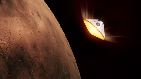 NASA begins funding hardware for 'Skyfall' Mars helicopter mission
 -
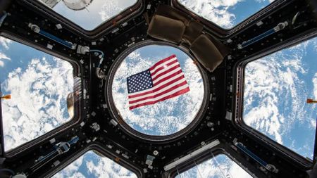
 Trump gifts Artemis astronauts an American flag from the US Capitol to plant on the moon
 -
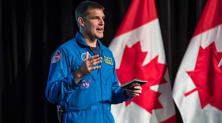 Artemis 2's Jeremy Hansen stepping down from active astronaut duty after epic moon mission
 -
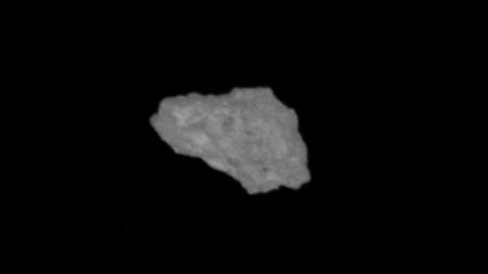 China releases 1st photo of Earth's elusive 'quasi-moon' Kamo'oalewa5 Comments
 -
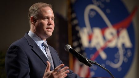 'That's going to come back and bite us': Former NASA chief questions Artemis moon lander plans74 Comments
 -
 Chinese scientists find the best way to nuke an asteroid on its way to impact Earth10 Comments
-


-
-
 Annie Easley, a hero of NASA | Space photo of the day for June 19, 2026
 -
 SpaceX IPO brings Starship to NYC | Space photo of the day for June 16, 2026
 -
 SpaceX goes public with a mind-bogglingly historic IPO. The space industry may never be the same.21 Comments
 -
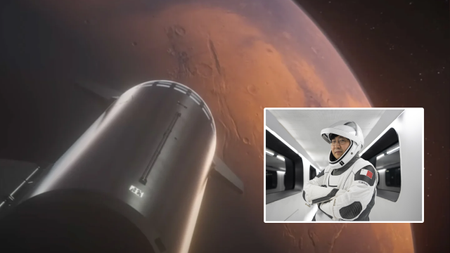 This cryptocurrency billionaire will fly SpaceX's 1st private Starship to Mars, but when?13 Comments
 -
 Moon lander preps for the lunar surface | Space photo of the day for May 5, 20264 Comments
 -
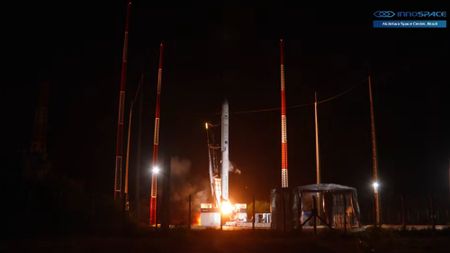 Private South Korean rocket exploded last December due to hardware failure, investigation finds
 -
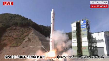 Japan's private Space One Kairos rocket explodes after launch failure during 3rd test flight
 -
 Blue Origin pausing space tourism flights for at least 2 years to focus on moon plans6 Comments
 -
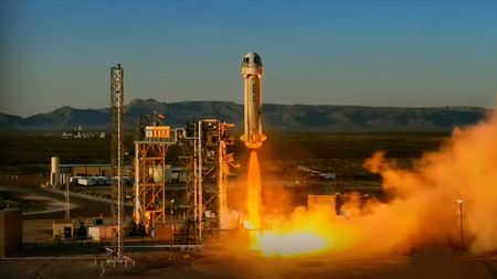
 Blue Origin launches 6 space tourists to the final frontier after last-minute crew swap (video)2 Comments
-


-
-
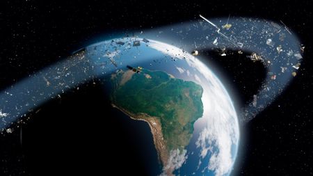 Space junk debris cloud discovered in high-traffic orbit 'is a potential minefield' for the costliest satellites32 Comments
 -
 The FCC just gave Reflect Orbital permission to launch its 1st space mirror to orbit. Tens of thousands more could follow19 Comments
 -
 Your lost dog can now call home with the world's 1st satellite-connected dog collar4 Comments
 -
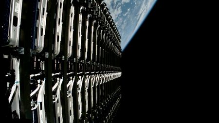 SpaceX wants to launch 100,000 Starlink satellites to orbit30 Comments
 -
 Shoebox-sized 'detector satellites' could sniff out a nuclear bomb in space
 -
 'This is the future of spatial intelligence': Vantor unveils stunning 3D satellite views of Earth (photos)
 -
 The US Space Force just got a new electromagnetic weapon to jam adversary satellites
 -
 Europe's deadly heat wave seen from space | Space photo of the day for June 30, 2026
 -
 'It's quite a bit more than we expected': Satellite reveals immense scale of GPS signal tampering19 Comments
-


-
-
 White House appoints Harvard astronomer Avi Loeb to lead new UFO study group10 Comments
 -
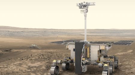 Could evidence of life on Mars be hiding in clay? Europe wants to send a rover to check3 Comments
 -
 Searching for alien life: New model could help scientists home in on habitable exoplanets8 Comments
 -
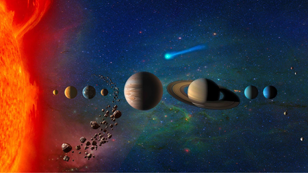 Was life delivered to Earth by asteroids with a helping hand from Jupiter?
 -
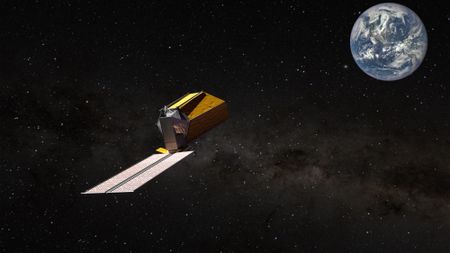 NASA is building a new space telescope to search for life on nearby planets. What would it see on ancient Earth?6 Comments
 -
 How should we handle alien detection in a world of AI, deepfakes and social media? This committee is writing the rulebook3 Comments
 -
 Interstellar comet 3I/ATLAS is not an alien spacecraft: SETI hunt for 'technosignatures' comes up empty
 -
 The UFO files: What did we learn from the Pentagon's 1st big release?10 Comments
 -
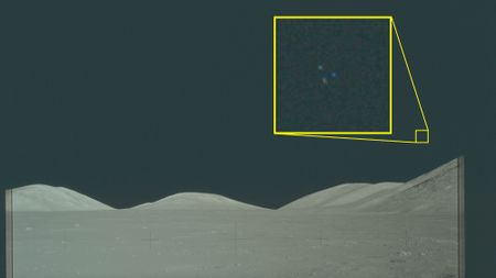
These Apollo 'UFO' images have been public for decades. So why are people talking about them now?4 Comments
-


