Satellites watch Category 5 Hurricane Melissa ahead of record-breaking landfall in Jamaica
The storm is the powerful hurricane on record for the nation.

Breaking space news, the latest updates on rocket launches, skywatching events and more!
You are now subscribed
Your newsletter sign-up was successful
Want to add more newsletters?
Update 10/28: Hurricane Melissa made landfall in Jamaica on Tuesday (Oct. 28) afternoon.
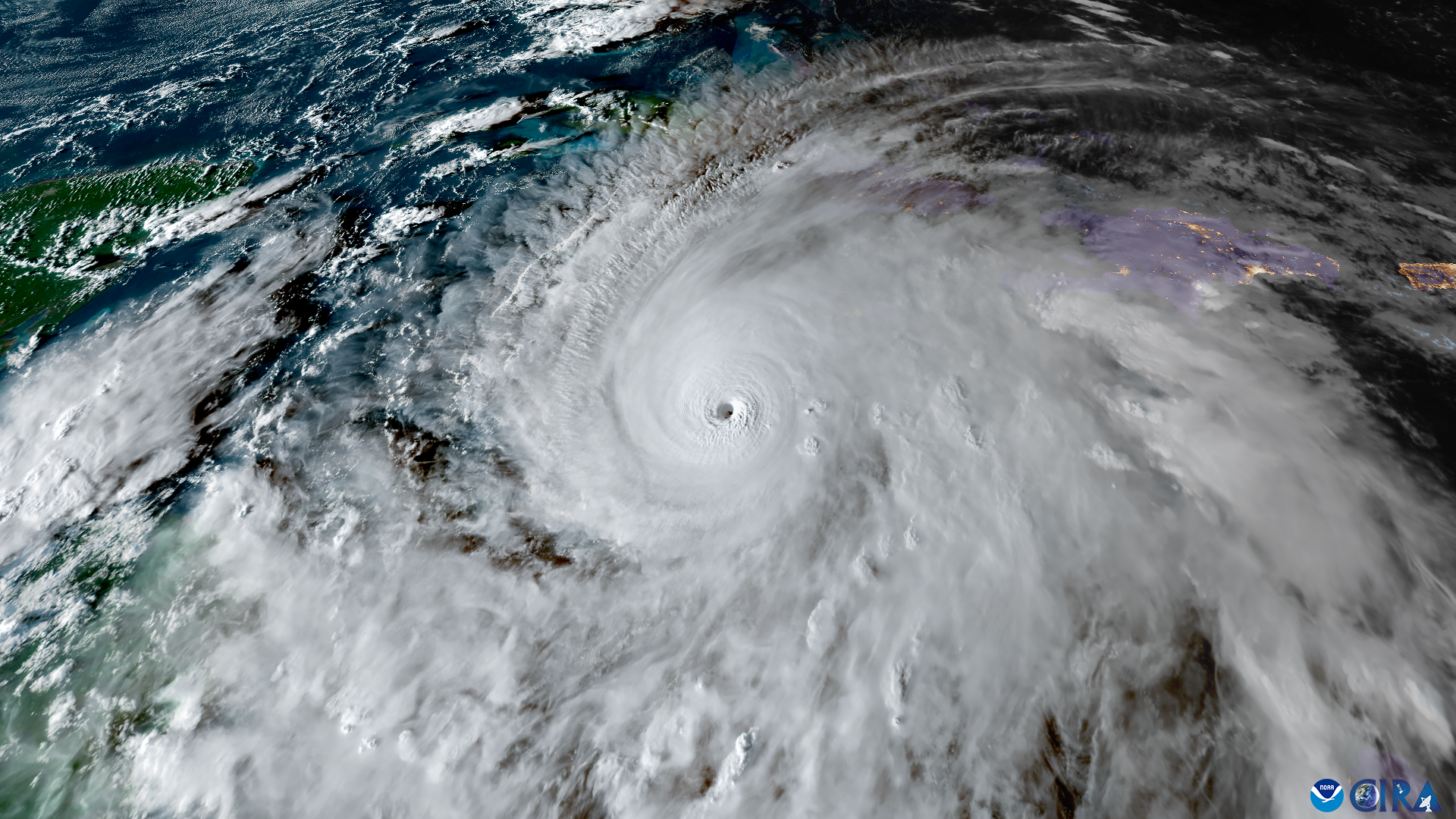
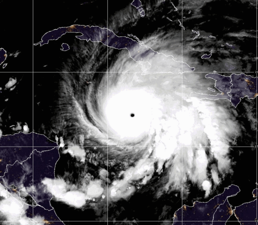
Satellites around Earth watched as a powerful Hurricane Melissa traveled toward Jamaica.
On Oct. 21, scientists began monitoring Hurricane Melissa — the 13th named storm of the Atlantic Hurricane season this year — develop. Just four days after its formation, the storm quickly became a large and dangerous major hurricane on the Saffir-Simpson Hurricane Wind Scale, churning into a monster storm early on Monday (Oct. 27) as sustained winds reached 175 miles per hour (280 kilometers per hour).
Article continues belowCurrently classified as a Category 5 storm, Melissa is moving at a snail's pace, making the storm even more destructive. It made landfall in Jamaica as the strongest hurricane in the nation's recorded history. According to the National Oceanic and Atmospheric Administration (NOAA), there have been only three hurricanes since 1950 to make landfall on the island with two as Category 3 hurricanes: Hurricane Charlie in 1951 followed by Hurricane Gilbert in 1988.
Thanks to satellites in space, scientists and forecasters are able to follow the storm along its path, watching it grow in size and strength throughout its lifespan. NOAA's Geostationary Operational Environmental Satellite (GOES) satellites have kept a close watch over Hurricane Melissa since it formed, painting a high-definition picture of the storm.

Using a combination of instruments on GOES-19, experts can learn a variety of things about the storm, such as the location of lightning within the eye, the moment the storm began to rapidly grow and strengthen, and the location of the hurricane's outer bands and where they extend to.
The satellites also reveal how the storm became more symmetric over time as it grew more powerful in the open waters of the Caribbean, as well as where it hit the brakes and began its slow trek toward Jamaica.
Breaking space news, the latest updates on rocket launches, skywatching events and more!
It is expected to bring life-threatening flash flooding, landslides and the potential for devastating winds to the island through Tuesday (Oct. 28) and through the middle of the week as it moves through the Dominican Republic and Haiti.
To stay up-to-date with the latest on Melissa, you can find more details from NOAA's National Hurricane Center.

Meredith is a regional Murrow award-winning Certified Broadcast Meteorologist and science/space correspondent. She most recently was a Freelance Meteorologist for NY 1 in New York City & the 19 First Alert Weather Team in Cleveland. A self-described "Rocket Girl," Meredith's personal and professional work has drawn recognition over the last decade, including the inaugural Valparaiso University Alumni Association First Decade Achievement Award, two special reports in News 12's Climate Special "Saving Our Shores" that won a Regional Edward R. Murrow Award, multiple Fair Media Council Folio & Press Club of Long Island awards for meteorology & reporting, and a Long Island Business News & NYC TV Week "40 Under 40" Award.
You must confirm your public display name before commenting
Please logout and then login again, you will then be prompted to enter your display name.
