Photos: Hurricane Katrina From Space

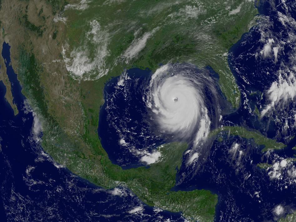
Katrina in the Gulf
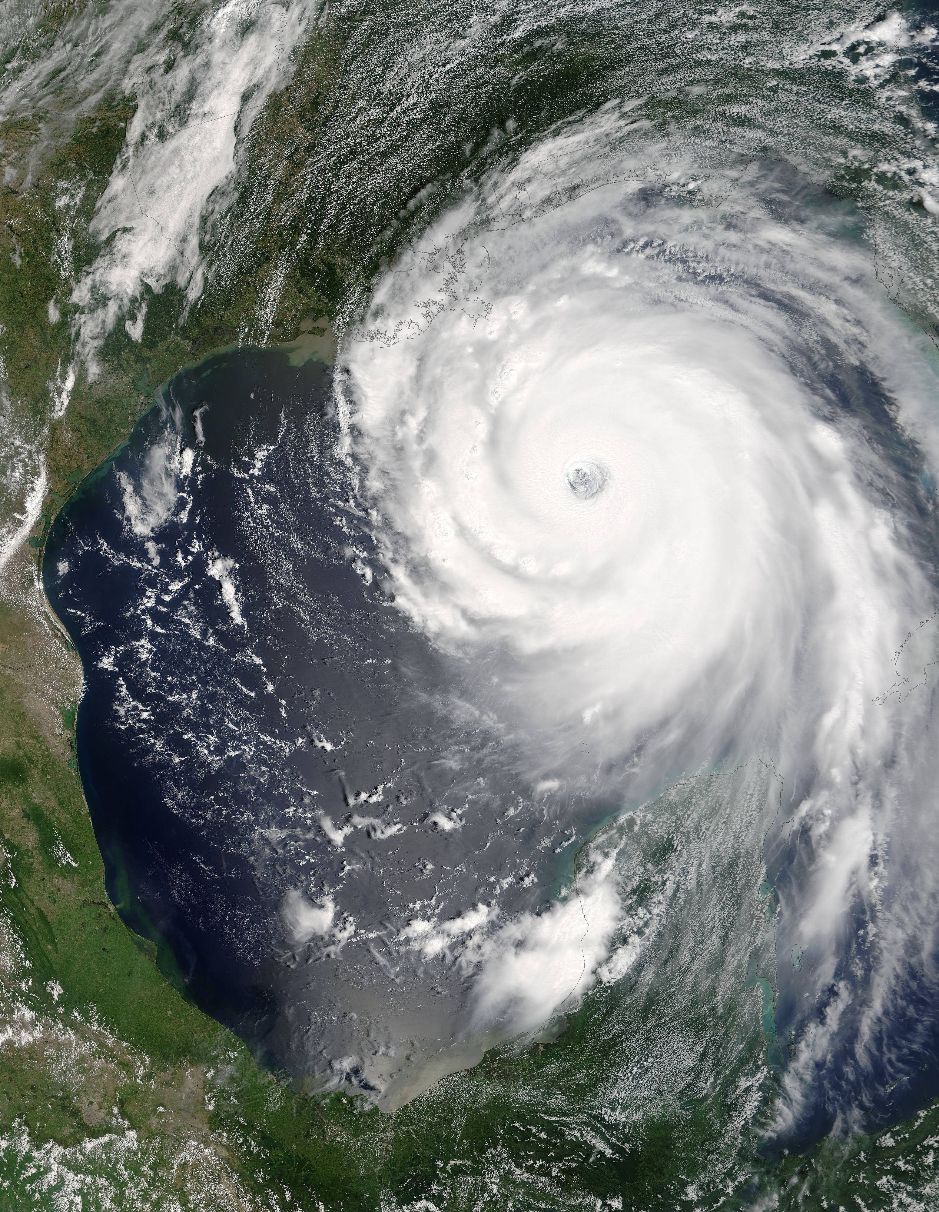
NASA spacecraft watched closely in 2005 as a record-breaking Atlantic hurricane season yielded 27 named storms, including the devastating Hurricane Katrina, seen here at full strength in an Aug. 29, 2005 image from the GOES-12 weather satellite.
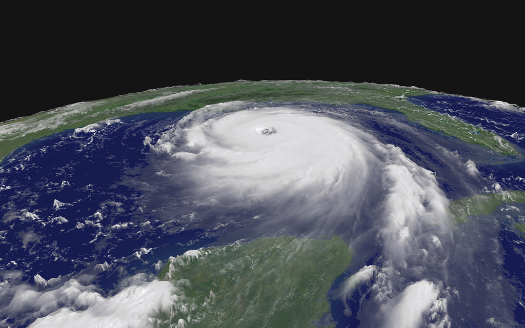
Katrina from Space
Hurricane Katrina winds above Earth.
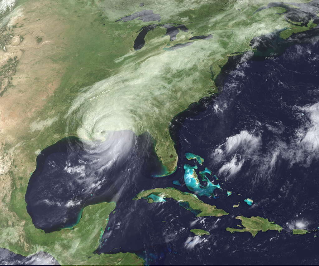
Hurricane Katrina Arrives
Hurricane Katrina moved ashore over southeast Louisiana and southern Mississippi early on August 29, 2005, as an extremely dangerous Category 4 storm.
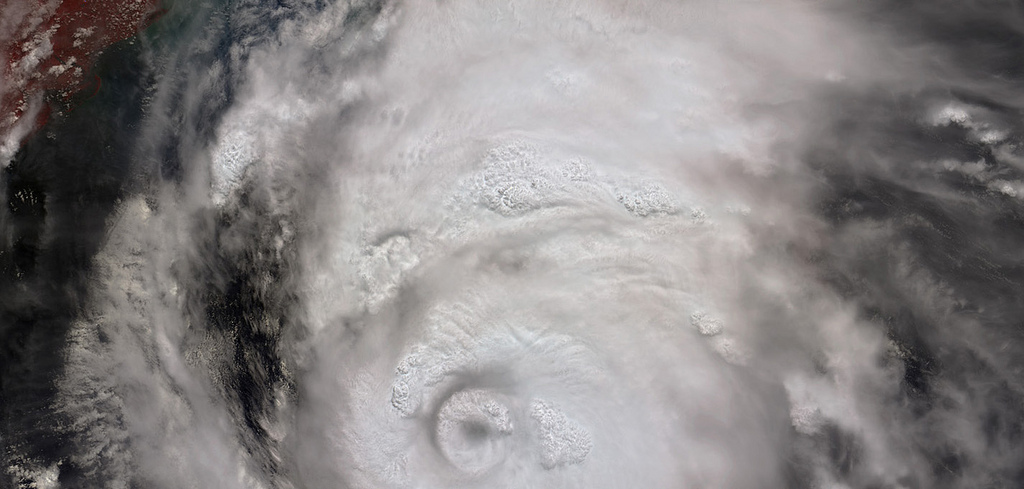
The Roiling Clouds of Katrina
This image and animation from NASA’s Multi-angle Imaging SpectroRadiometer (MISR) show the strong convective development of Hurricane Katrina on Saturday, August 27, as it moved west through the Gulf of Mexico.
Military, Civilian Satellite Tools Help In Hurricane Response
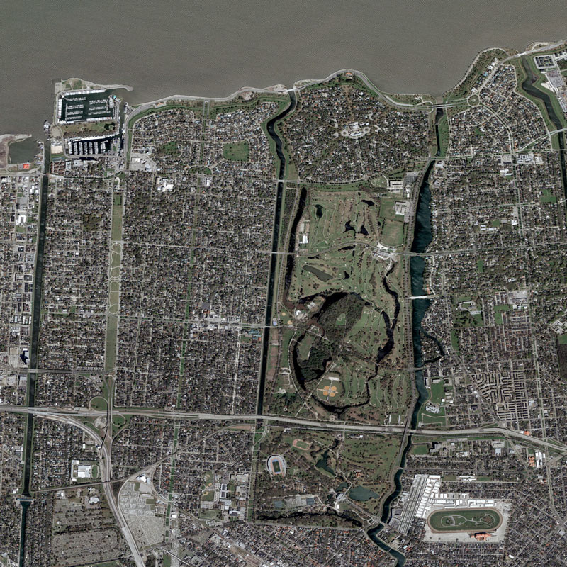
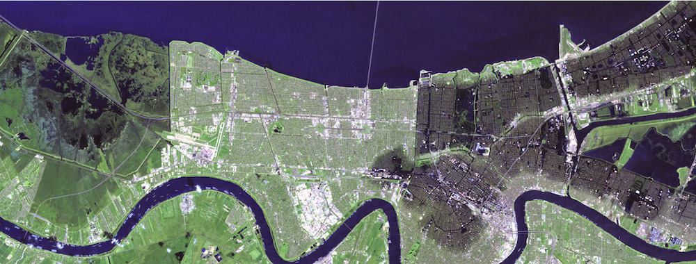
New Orleans satellite overview before Hurricane Katrina’s arrival. Image taken March 9, 2004. Image
Floodng in New Orleans
“Katrina is comparable in intensity to Hurricane Camille of 1969, only larger,”warned the National Hurricane Center on Sunday, August 28, 2005.
Hurricane Katrina Intensity
“Katrina is comparable in intensity to Hurricane Camille of 1969, only larger,”warned the National Hurricane Center on Sunday, August 28, 2005.
Breaking space news, the latest updates on rocket launches, skywatching events and more!
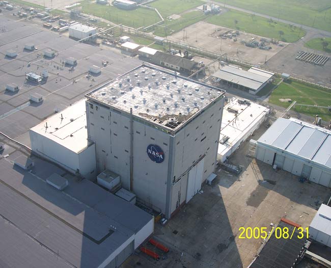
NASA Facility Struggles in Wake of Hurricane Katrina
Hurricane Katrina left holes in the roof of the Vertical Assembly Building at the Michoud Assembly Facility near New Orleans.
New Orleans Superdome in Katrina
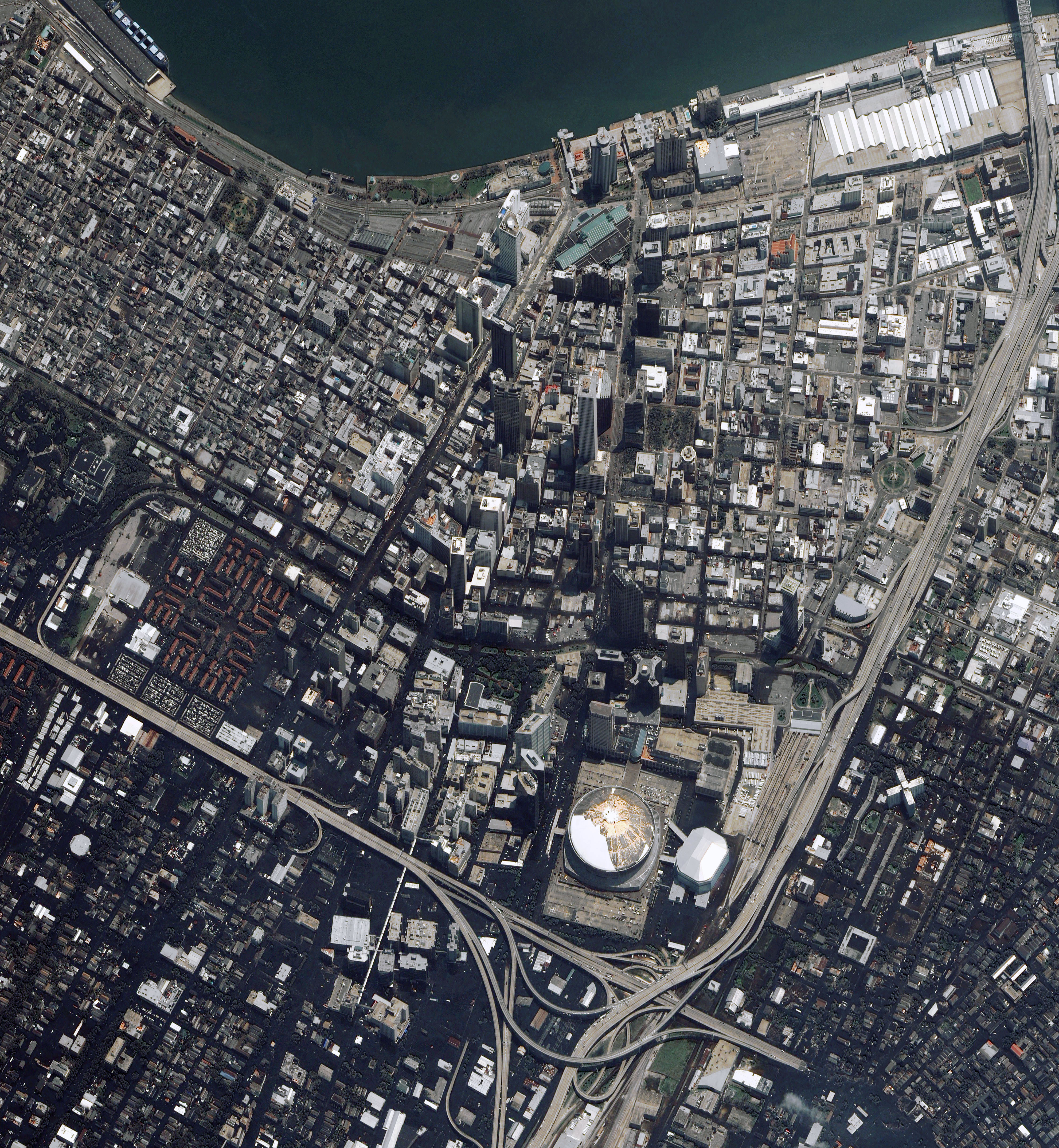
The Louisiana Superdome is now an island refuge for as many as 30,000 people, according to news reports. Many sheltered in the stadium while Hurricane Katrina raged overhead on Monday, August 29, 2005, and many more have been brought to the Superdome after being rescued from their flooded homes.
Pre and Post Katrina
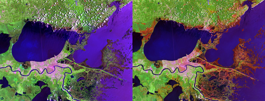
NASA-built satellites provided much information about Katrina's devastation, including the potential impact on climate change. The storm’s sustained winds of 125 miles per hour killed or damaged an estimated 320 million large trees.

Space.com is the premier source of space exploration, innovation and astronomy news, chronicling (and celebrating) humanity's ongoing expansion across the final frontier. Originally founded in 1999, Space.com is, and always has been, the passion of writers and editors who are space fans and also trained journalists. Our current news team consists of Editor-in-Chief Tariq Malik; Editor Hanneke Weitering, Senior Space Writer Mike Wall; Senior Writer Meghan Bartels; Senior Writer Chelsea Gohd, Senior Writer Tereza Pultarova and Staff Writer Alexander Cox, focusing on e-commerce. Senior Producer Steve Spaleta oversees our space videos, with Diana Whitcroft as our Social Media Editor.
