A Frosty Rift

See how satellites and NASA planes tracked the iceberg's birth from its first crack an Antarctic ice shelf.
FIRST STOP: An Iceberg is Born
Article continues belowLarsen C Breaks Off

The European Space Agency's two Sentinel-1 satellites have kept an eye on this rift since it first began to grow in January 2016. Before then, the crack had existed for years, but it appeared to be in a stable state. However, over the course of the last 18 months, the crack lengthened at an alarming rate — from 10 to 13 miles per month. When the crack finally reached the ocean, an iceberg the size of Delaware broke off of the Larsen C ice shelf.
NEXT: Larsen C Crack Interferogram
Larsen C Crack Interferogram

This interferogram combines two Sentinel-1 radar images from April 2017 and shows the growing crack in Antarctica's Larsen C ice shelf. "We can measure the iceberg crack propagation much more accurately when using the precise surface deformation information from an interferogram like this, rather than the amplitude — or black and white — image alone where the crack may not always be visible," European Space Agency polar scientist Anna Hogg said in a statement.
NEXT: A Deep Crack
A Deep Crack

The European Space Agency's CryoSat mission measured the depth of the crack in the Larsen C ice shelf using a radar altimeter. It found that the crack was approximately one-third of a mile (or half a kilometer) deep.
NEXT: MODIS View
MODIS View

NASA's Aqua satellite acquired this image of the new iceberg on July 12, 2017, using an instrument called the Moderate Resolution Imaging Spectroradiometer (MODIS). The instrument created the false-color view by measuring infrared signals known as "brightness temperature," which is useful for distinguishing relative warmth or coolness. Dark blue depicts where the surface is the warmest. Lighter blue colors show thicker, cooler parts of the ice sheet.
NEXT: An Aerial View
An Aerial View

NASA scientist John Sonntag snapped photos of the rift on November 10, 2016, from NASA's DC-8 research aircraft. When Sonntag photographed the crack, it was about 109 miles (175 kilometers) long. More recent measurements put the rift at 124 miles (200 km) long, with the iceberg barely hanging on; it was only 3 miles (5 km) away from breaking loose.
NEXT: Larsen Ice Shelf in 2016
Larsen Ice Shelf in 2016

This Landsat satellite image, acquired in January 2016, shows Antarctica's Larsen ice shelf. [Full Story: Collapsing Beauty: Image of Antarctica's Larsen Ice Shelf]
NEXT: Ice Crack Seen by Sentinel-2A
Ice Crack Seen by Sentinel-2A

The crack in Antarctica's Larsen C ice shelf was also being imaged by the Copernicus Sentinel-2A satellite. This image from April 2017 shows the crack running parallel to the Weddell Sea.
NEXT: The Larsen Ice Shelf
Larsen Ice Shelf

Landsat satellite images show the shrinking Larsen ice shelf in Antarctica. [Full Story: Collapsing Beauty: Image of Antarctica's Larsen Ice Shelf]
NEXT: Sentinel-1
Sentinel-1
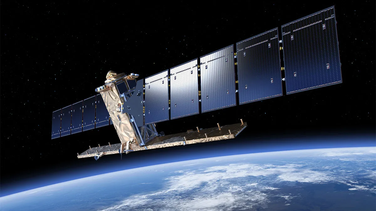
Sentinel-1 is the first in the family of Copernicus satellites launched by the European Space Agency. Two Sentinel-1 satellites have monitored the crack in the Larsen C ice shelf in the years leading up to the big split. They are also used to monitor Earth's environment, mapping sea ice and observing changes in land surfaces.
NEXT: CryoSat
CryoSat

The Earth Explorer CryoSat mission monitors changes in the thickness of marine ice floating in the polar oceans as well as the ice sheets of Greenland and Antarctica.
NEXT: CryoSat Reveals Iceberg

