See Hurricane Irma in Motion in These NASA and NOAA Gifs
Updated Sept. 11 at 7:23 a.m. EDT with the latest imagery and video.
Hurricane Irma is now a Category 1 storm as it makes its way up the west coast of Florida, following its second landfall in Southern Florida on Sunday. NASA and the National Oceanic and Atmospheric Administration (NOAA) are providing satellite imagery to the National Hurricane Center to aid forecasts about Irma's potential for destruction on the U.S. mainland after battering the Caribbean and Atlantic Ocean island nations in the path of the storm. They are also tracking Hurricane Jose, a Category 4 storm behind Irma, and the now-Tropical Storm Katia in the Gulf of Mexico. [Hurricane Irma in Photos: Views of the Monster Storm from Space]
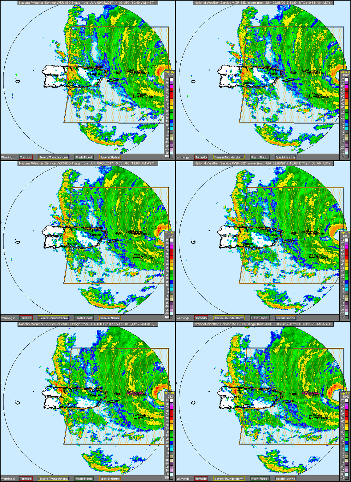
Below are observations of Hurricane Irma in motion taken by NASA and NOAA from satellites and planes.
Editor's Note: This article was originally posted Sept. 5 and was updated Sept. 8.
Follow Doris Elin Salazar on Twitter @salazar_elin. Follow us @Spacedotcom, Facebook and Google+. Original article on Space.com.

Doris is a science journalist and Space.com contributor. She received a B.A. in Sociology and Communications at Fordham University in New York City. Her first work was published in collaboration with London Mining Network, where her love of science writing was born. Her passion for astronomy started as a kid when she helped her sister build a model solar system in the Bronx. She got her first shot at astronomy writing as a Space.com editorial intern and continues to write about all things cosmic for the website. Doris has also written about microscopic plant life for Scientific American’s website and about whale calls for their print magazine. She has also written about ancient humans for Inverse, with stories ranging from how to recreate Pompeii’s cuisine to how to map the Polynesian expansion through genomics. She currently shares her home with two rabbits. Follow her on twitter at @salazar_elin.
