-
-
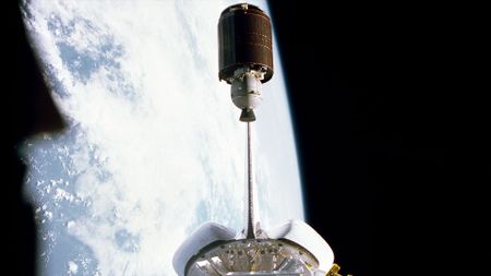 On this day in space! June 20, 1983: Space Shuttle Challenger deploys Palapa B satellite61 Comments
 -
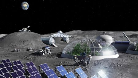 Do we need a lunar building code to build moon bases safely?
 -
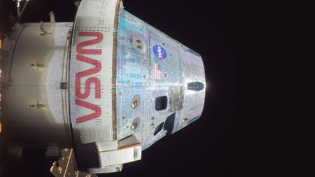
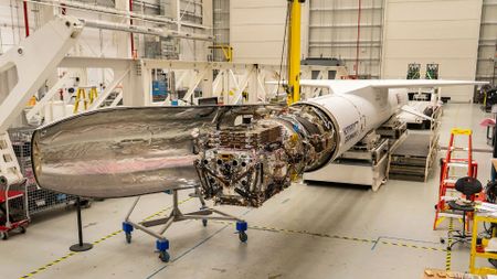
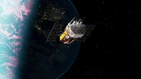
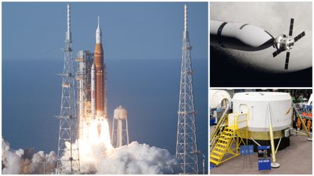
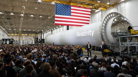 A private company will build and launch NASA's next Mars orbiter in 2028 — and it's not SpaceX
 -
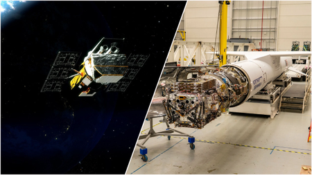 'No one thought it was going to be possible.' A space telescope is falling out of space. This is NASA's daring plan to save it.7 Comments
 -
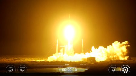
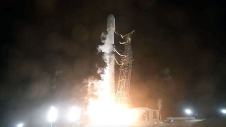 SpaceX launches new batch of US spy satellites from California (video)
 -
 Menstruation in space will be studied for 1st time with 'Operation Period'3 Comments
 -
 Annie Easley, a hero of NASA | Space photo of the day for June 19, 2026
-


-
-
Menstruation in space will be studied for 1st time with 'Operation Period'3 Comments
-
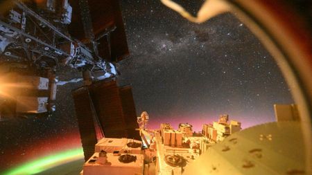
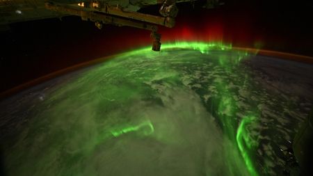 Astronaut captures snake-like auroras from a SpaceX Dragon | Space photo of the day for June 9, 2026
 -
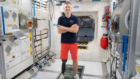 This former Paralympic athlete could become the 1st person with a physical disability to live in orbit
 -
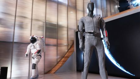 'It's very aesthetically pleasing.' Prada and Axiom just revealed the stylish cooling suit Artemis astronauts will wear under their spacesuits on the moon2 Comments
 -
 Could meteor storms harm NASA's future moon missions?
 -
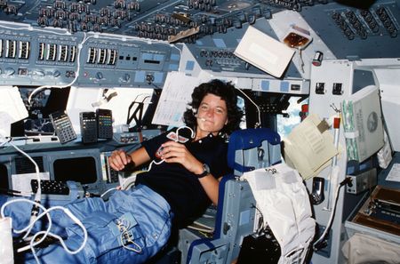 Happy Pride Month! Remembering Sally Ride's historic legacy | Space photo of the day for June 3, 20266 Comments
 -
 Student-powered 'moon' rovers put to the test | Space photo of the day for June 2, 20262 Comments
 -
 Astronaut captures aurora magic from the ISS | Space photo of the day for May 28, 2026
 -
 What is Star City, the secret Cold War cosmonaut training town in Apple TV's new 'For All Mankind' spinoff?
-


-
-
'No one thought it was going to be possible.' A space telescope is falling out of space. This is NASA's daring plan to save it.7 Comments
-
SpaceX launches new batch of US spy satellites from California (video)
-
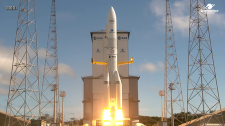 European rocket launches record-breaking mission with Amazon internet satellites (video)
 -
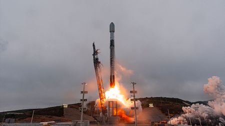
 SpaceX launches 3 huge BlueBird direct-to-cell satellites from Florida (video)
 -
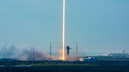
 SpaceX sends 24 Starlink satellites to orbit on 1st launch as a public company (video)2 Comments
 -
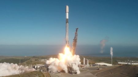
 SpaceX's stock wasn't the company's only launch today — It also put 29 Starlink satellites in orbit
 -
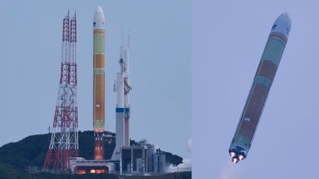 Japan's H3 rocket bounces back from failure with successful return to flight launch carrying 6 satellites4 Comments
 -
 Satellite-boosting spacecraft inside air-launched rocket | Space photo of the day for June 12, 20262 Comments
 -
 SpaceX sends 24 Starlink satellites into orbit as market awaits IPO launch (video)
-


-
-
Do we need a lunar building code to build moon bases safely?
-
A private company will build and launch NASA's next Mars orbiter in 2028 — and it's not SpaceX
-
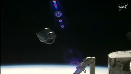 Home again! SpaceX Dragon cargo capsule splashes down off California coast3 Comments
 -
 NASA discussing bold mission to boost Swift space telescope today: Listen live2 Comments
 -
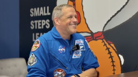 Ever have a scary HR meeting on your calendar? That's how the Artemis 3 crew found out their assignments
 -
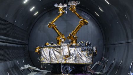
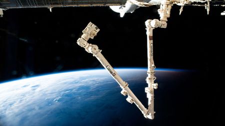 The critical robot arm on the ISS isn't working properly, but NASA has a plan to fix it
 -
 NASA chief defends all-male Artemis 3 astronaut crew amid backlash: 'I don't think anyone should be reading into this'23 Comments
 -
 NASA's ambitious Artemis 3 mission includes 3 giant rocket launches, 2 private moon landers and 1 big question: Can it all work together?13 Comments
 -
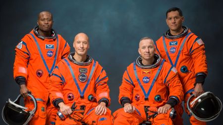
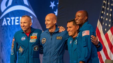 NASA reveals Artemis 3 astronauts for critical moon lander test flight3 Comments
-


-
-
Annie Easley, a hero of NASA | Space photo of the day for June 19, 2026
-
 SpaceX IPO brings Starship to NYC | Space photo of the day for June 16, 2026
 -
 SpaceX goes public with a mind-bogglingly historic IPO. The space industry may never be the same.21 Comments
 -
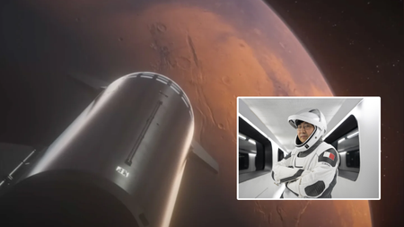 This cryptocurrency billionaire will fly SpaceX's 1st private Starship to Mars, but when?13 Comments
 -
 Moon lander preps for the lunar surface | Space photo of the day for May 5, 20264 Comments
 -
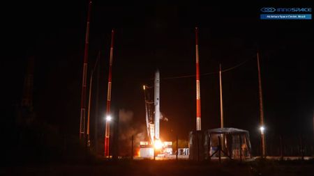 Private South Korean rocket exploded last December due to hardware failure, investigation finds
 -
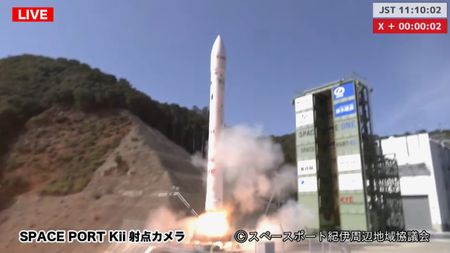 Japan's private Space One Kairos rocket explodes after launch failure during 3rd test flight
 -
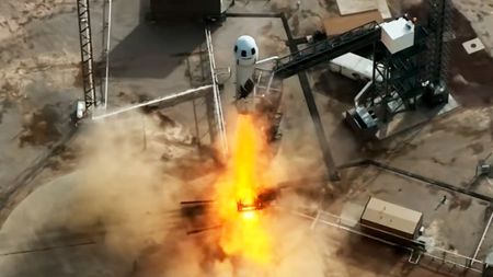
 Blue Origin pausing space tourism flights for at least 2 years to focus on moon plans6 Comments
 -
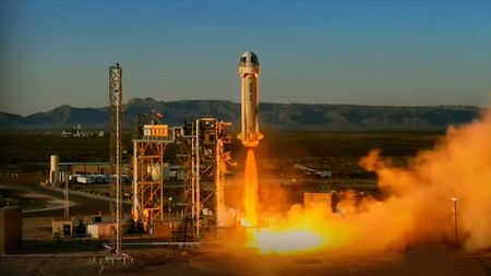
 Blue Origin launches 6 space tourists to the final frontier after last-minute crew swap (video)2 Comments
-


-
-
 'It's quite a bit more than we expected': Satellite reveals immense scale of GPS signal tampering14 Comments
 -
 Why is the US Space Force researching 'orbital warehouses'?
 -
 Elon Musk wants to put 1 million AI satellites in space. Here's how SpaceX could do it27 Comments
 -
 SpaceX wins $4 billion Space Force contract for satellites that target 'airborne threats' anywhere on Earth
 -
 ReferenceStarlink satellite train: how to see and track it in the night sky3 Comments
 -
 ReferenceStarlink satellites: Facts, tracking and impact on astronomy
 -
 Companies like SpaceX want electromagnetic catapults on the moon. Could they be used as weapons?31 Comments
 -
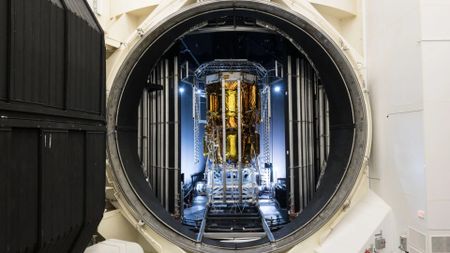
 DARPA readies robotic deep-space repair satellite for 2026 launch2 Comments
 -
 Space debris is forcing satellites to dodge more often — costing us vital science. 'Things will get worse before they get better'5 Comments
-


-
-
 Was life delivered to Earth by asteroids with a helping hand from Jupiter?
 -
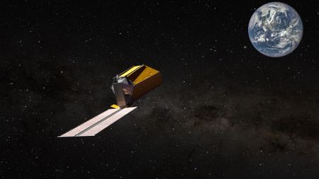 NASA is building a new space telescope to search for life on nearby planets. What would it see on ancient Earth?6 Comments
 -
 How should we handle alien detection in a world of AI, deepfakes and social media? This committee is writing the rulebook3 Comments
 -
 Interstellar comet 3I/ATLAS is not an alien spacecraft: SETI hunt for 'technosignatures' comes up empty
 -
 The UFO files: What did we learn from the Pentagon's 1st big release?10 Comments
 -
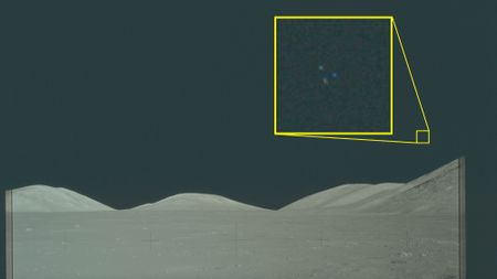
These Apollo 'UFO' images have been public for decades. So why are people talking about them now?4 Comments
-
 Scientists propose new way to find aliens — and we may already have a spacecraft that can help
 -
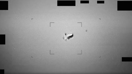 Pentagon unveils trove of declassfied 'UFO' videos. How to see them all, from 'a football-shaped body' to 'a misshapen and uneven ball of white light'16 Comments
 -
 Making contact with ET? Aliens may already know we're here15 Comments
-


