Space Image of the Day Gallery (May 2015)
Breaking space news, the latest updates on rocket launches, skywatching events and more!
You are now subscribed
Your newsletter sign-up was successful
Want to add more newsletters?

Delivered daily
Daily Newsletter
Breaking space news, the latest updates on rocket launches, skywatching events and more!

Once a month
Watch This Space
Sign up to our monthly entertainment newsletter to keep up with all our coverage of the latest sci-fi and space movies, tv shows, games and books.

Once a week
Night Sky This Week
Discover this week's must-see night sky events, moon phases, and stunning astrophotos. Sign up for our skywatching newsletter and explore the universe with us!

Twice a month
Strange New Words
Space.com's Sci-Fi Reader's Club. Read a sci-fi short story every month and join a virtual community of fellow science fiction fans!
Currents
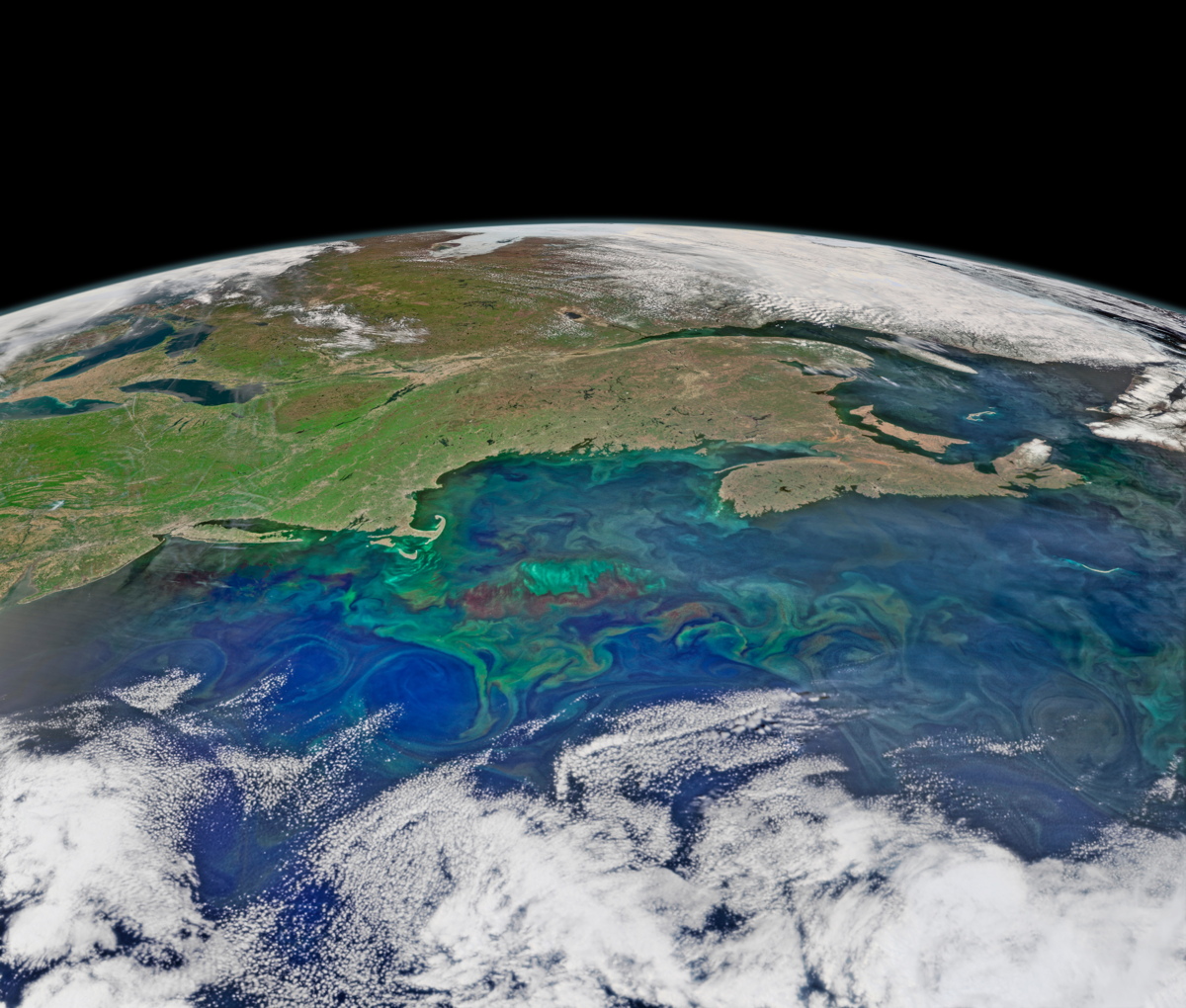
Friday, May 29, 2015: This composite image depicts the northwest Atlantic Ocean on May 14, 2015, with New England and the Canadian Maritimes in the background. During the spring season, increasing sunlight, nutrient runoff from land and upwelling from the deep, and changeable atmospheric weather contribute to the colored patterning of the ocean surface. At left, circles are traced out by light green phytoplankton, plant-like species, near the surface. The underwater plateau George’s Bank lies at the center of the image, below the Gulf of Maine. The Canadian province of Nova Scotia is at right. The Visible Infrared Imaging Radiometer Suite (VIIRS) sensor on the Suomi NPP satellite provided the data for the image, released May 26.
— Tom Chao
Breaking space news, the latest updates on rocket launches, skywatching events and more!


