


How NASA's Satellite Data Could Help Protect Chimps
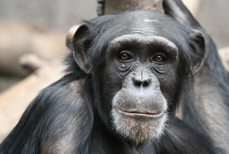
Chimpanzees are in crisis, but NASA may be able to help: The agency recently announced a partnership with the Jane Goodall Institute, in hopes of helping chimpanzee conservation efforts.
One hundred years ago, more than 2 million chimpanzees were in the world. Now, the International Union for Conservation of Nature (IUCN) estimates that only 345,000 or fewer chimpanzees remain in the wild. The new partnership will use NASA satellites and the U.S. Geological Survey's Landsat satellite to monitor the chimps' forest homes.
One of the primary reasons chimpanzees are at risk is habitat loss, according to Lilian Pintea, a remote sensing specialist and vice president of conservation science for the Jane Goodall Institute. [8 Humanlike Behaviors of Primates]
In fact, the deforestation is so drastic that it can be seen from space, Pintea said. In 2000, he saw a side-by-side comparison of satellite images of the area around Gombe National Park, a chimpanzee reserve in Tanzania. The images, one taken in 1972 and the other in 1999, show the dramatic deforestation that occurred outside the park.
"NASA satellite data helps us understand what it means to be a chimp, by overlaying distribution of the habitat with the chimpanzee behavior and ranging data," Pintea said in a statement.
This data enables him and other scientists to monitor where chimps are at risk with more context. Plain maps don't show the chimps' habitat along with human activities, according to NASA officials, whereas Landsat images can relay information about land use and its impact on the forests.
Chimpanzees' habitat once spanned an uninterrupted belt of forest and woodlands, but chimps in the region now occupy increasingly small fragments of land outside the park area. Population growth, logging and charcoal production led to the increased deforestation, according to conservationist Jane Goodall. As such, Goodall said conservation efforts must include working with local communities.
"It was really exciting to see the impact of these images on the villagers," Goodall said, adding that villagers could identify landmarks and sacred places in the satellite imagery. "It was like a piece of reality dropped magically from the sky."
Satellite data will be used in the Jane Goodall Institute's conservation efforts to help inform scientists and conservationists, as well as the local communities, as the Institute plans for more thoughtful land use and support chimpanzee habitats.
Original article on Live Science.
