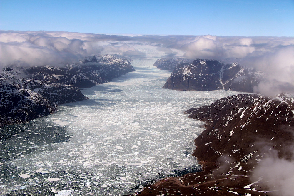
NASA's IceBridge Mission Ends Its 'Best Year Ever'

An airplane, a satellite and volumes of data — these are at the core of NASA's 2017 airborne survey of Arctic ice cover, which recently ended.
On May 12, the agency's Operation IceBridge conducted its final full science flight over central southern Greenland to track the future orbit of NASA's Ice, Cloud and land Elevation Satellite-2 (ICESat-2), which is scheduled to launch in 2018. One of Operation IceBridge's main goals is to support ICESat-2 and help fill gaps in data collection. However, the airborne missions alone have advanced scientific understanding of Arctic sea and land ice since the program launched nine years ago. [In Images: Greenland's Gorgeous Glaciers]
Operation IceBridge has provided valuable data on how climate change is affecting polar ice, according to NASA. Among other things, the flights helped scientists compile the first map to show thawing on the bottom of the massive Greenland Ice Sheet and improved snowfall accumulation models for Greenland, agency officials said in a statement.
According to NASA, the 2017 spring campaign was "the most ambitious" data-collection mission over Greenland yet.
"This has easily been our best year ever for surveying sea ice," Nathan Kurtz, IceBridge's project scientist and a sea ice researcher at NASA's Goddard Space Flight Center, said in a statement. "Geographically, we covered a wider area than ever before, and the new instruments we deployed during this campaign have given us denser and more accurate measurements."
This year, the science flights expanded their range to include exploring the Eurasian half of the Arctic basin for the first time. From these airborne surveys, scientists found that the layer of snow covering sea ice on the Eurasian side was thinner than models predicted. These new measurements will help ensure that data from ICESat-2 is accurate, according to Kurtz, and help scientists better understand how Arctic sea ice cover is changing.
The IceBridge campaign also conducted a rapid-response flight after researchers spotted a crack in the Petermann Glacier, one of Greenland's largest and fastest-changing glaciers. A new crack was photographed near the middle of Petermann Glacier's ice shelf —the floating end of the glacier — and appeared relatively close to a larger, known crack that is spreading toward the ice shelf's center.
Breaking space news, the latest updates on rocket launches, skywatching events and more!
In total, the spring IceBridge campaign included 39 8-hour flights over 10 weeks, with 13 expeditions focused on sea ice and the other 26 focused on land ice. This summer, two additional IceBridge campaigns will gauge how Arctic sea and land ice is affected by the melt season, according to NASA.
Original article on Live Science.

Kacey Deamer is a journalist for Live Science, covering planet earth and innovation. She has previously reported for Mother Jones, the Reporter's Committee for Freedom of the Press, Neon Tommy and more. After completing her undergraduate degree in journalism and environmental studies at Ithaca College, Kacey pursued her master's in Specialized Journalism: Climate Change at USC Annenberg. Follow Kacey on Twitter.

