Olympus Mons SE Flank

A portion of the southeastern flank of Olympus Mons as imaged by the High Resolution Stereo Camera on ESA’s Mars Express on January 21, 2013.
Viking's View of Mars

A photo of Mars from NASA's Viking spacecraft, which launched in 1975.
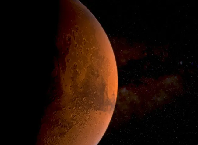
Half-Lit Mars by Mars Express

This Mars photo from ESA's Mars Express spacecraft was taken on Dec. 15, 2012, and beamed to Earth on Dec. 18. The spacecraft was 9.761 kilometers from Mars at the time.
Strange Mars Photo Includes Tantalizing 'Tree' Illusion

This new image of Mars taken by NASA's Mars Reconnaissance Orbiter shows an optical illusion. What appears to be trees rising from the Martian surface are actually dark streaks of collapsed material running down sand dunes due to carbon dioxide frost evaporation. The image was released in Jan. 2010.
How Microbes Could Help Colonize Mars

Some believe we could 'terraform' Mars to make it more like Earth, eliminating the need for protective habitats for future human colonizers.
Mars Canals Diagram

(Left) This 1894 map of Mars was prepared by Eugene Antoniadi and redrawn by Lowell Hess. (Right) A Hubble Space Telescope photo of Mars shows the modern view of our neighboring planet.
Planet Size Comparison: Venus, Earth and Mars

A comparison of the sizes of planets Venus (left), Earth and Mars.
Ancient Lake: Mars Ebserswalde Crater

Mars' 3.7 billion-year-old Eberswalde crater can be seen here in relief. The crater offer more proof that liquid water once flowed on Mars.
Hubble Snaps Photos of Giant Martian Dust Storm

The dangerous dust storm at the start of "The Martian" might have had a very different effect in reality. This Hubble image of Mars, taken in 2005, shows a 930-mile long dust storm raging across the planet's equator.
Mars' Moon Phobos

Mars' largest moon Phobos, as seen during a recent flyby performed by the European spacecraft Mars Express.
Mars Moon Phobos Likely Forged by Catastrophic Blast

The ESA spacecraft Mars Express took this image of Phobos on March 7, 2010. This image has been enhanced for seeing features in the less-illuminated part of the moon.
