NASA to Fly Above Canada Snowstorms

Breaking space news, the latest updates on rocket launches, skywatching events and more!
You are now subscribed
Your newsletter sign-up was successful
Want to add more newsletters?

Delivered daily
Daily Newsletter
Breaking space news, the latest updates on rocket launches, skywatching events and more!

Once a month
Watch This Space
Sign up to our monthly entertainment newsletter to keep up with all our coverage of the latest sci-fi and space movies, tv shows, games and books.

Once a week
Night Sky This Week
Discover this week's must-see night sky events, moon phases, and stunning astrophotos. Sign up for our skywatching newsletter and explore the universe with us!

Twice a month
Strange New Words
Space.com's Sci-Fi Reader's Club. Read a sci-fi short story every month and join a virtual community of fellow science fiction fans!
Hurricane hunters aren't the only people that fly into wild weather.
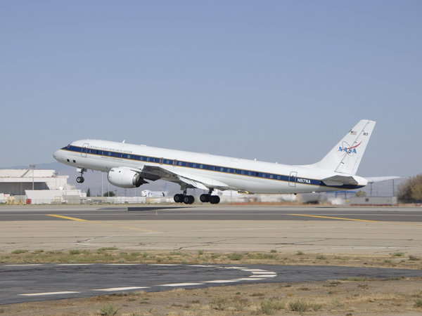
Beginning Jan. 17, NASA will fly an airborne science laboratory above Canadian snowstorms to measure snow and rain. The flights will help the upcoming Global Precipitation Measurement (GPM) satellite mission's goal of measuring snowfall from space — a tricky endeavor.
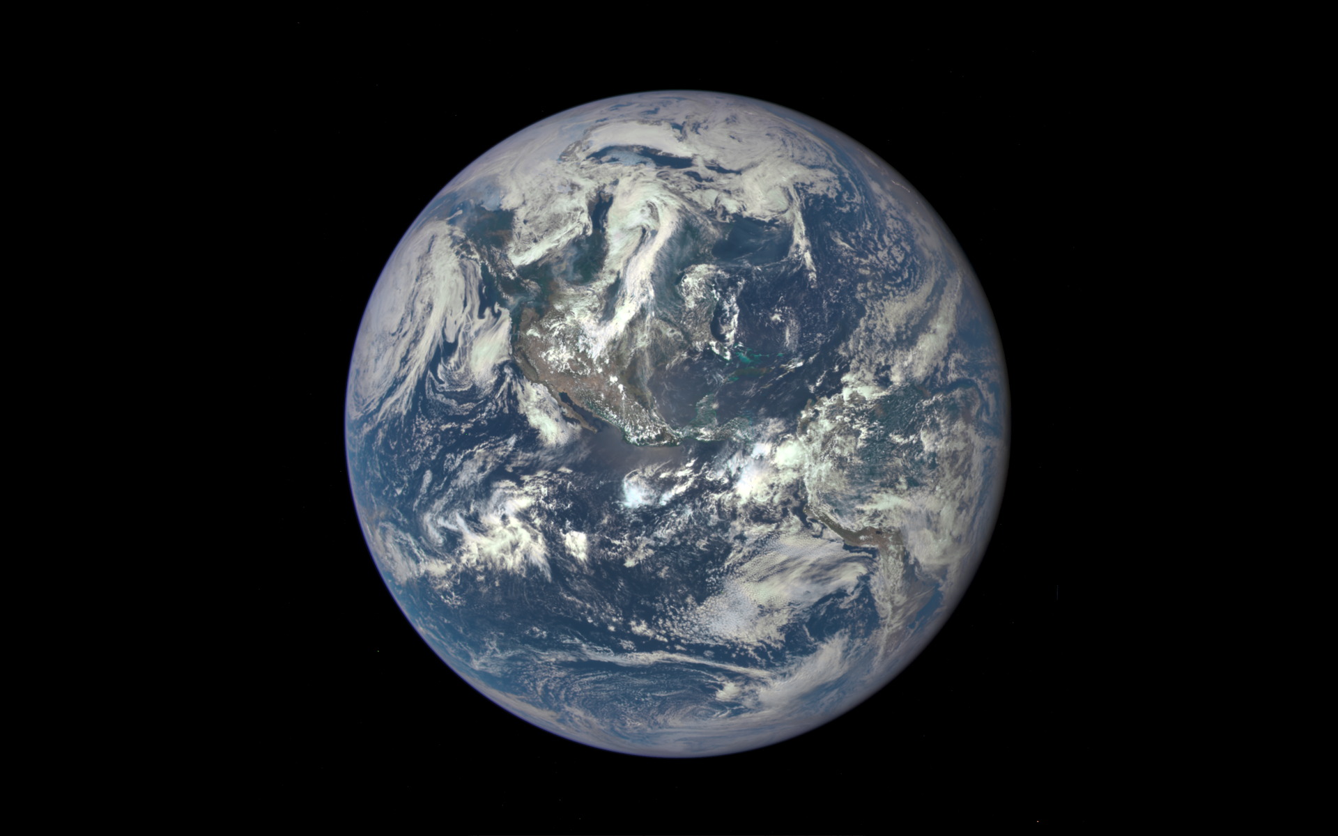
GPM is an international satellite mission that will set a new standard for precipitation measurements from space, providing next-generation observations of worldwide snow and rain every three hours. Set to launch in 2014, it is also the first mission designed to detect falling snow from space.
"Snow is notoriously hard to measure as it falls," said Walter Petersen, a GPM scientist at NASA's Wallops Flight Facility in Virginia, who has plenty of experience measuring snowfall. "Snowflakes contain varying amounts of air and water, and they flutter, wobble and drift as they leave the clouds."
Knowing how "wet" a snowflake is allows scientists to measure overall water content. A wet, heavy snow can shut down a city, and melted snow is a crucial source of fresh water in many areas.
To improve satellite estimates of falling snow and test how well measurements can be validated with ground instruments in advance of the planned launch of the GPM Core, NASA will measure light rain and snow in Ontario from Jan. 17 to Feb. 29. The field campaign is known as the GPM Cold-season Precipitation Experiment (GCPEx), and is done in a partnership with Environment Canada.
NASA's DC-8 airborne science laboratory will fly out of Bangor, Maine, carrying radar and a radiometer that will simulate the measurements to be taken from space by GPM. At an altitude of 33,000 feet (10 kilometers), the DC-8 will make multiple passes over an extensive ground network of snow gauges and sensors at Environment Canada's Center for Atmospheric Research Experiments north of Toronto.
Breaking space news, the latest updates on rocket launches, skywatching events and more!
The GCPEx field experiment will help scientists match measurements of snow in the air and on the ground with the satellite's measurements.
"We will be looking at the precipitation and the physics of precipitation, such as snowflake types, sizes, shapes, numbers and water content," Petersen said. "These properties affect both how we interpret and improve our measurements."
The Ontario region is prone to both lake-effect snow squalls and widespread snowstorms. If the opportunity exists, the DC-8 also will fly over blizzards along the northeastern United States. While the DC-8 flies above the clouds, two other aircraft, one from the University of North Dakota and another from Canada, will fly through the clouds, measuring the microphysical properties of the raindrops and snowflakes inside.
Advanced ground radars will scan the entire air column from the clouds to the Earth's surface.
"These multiple measurements of snowfall provide a complete picture, a complete model, of the process from top to bottom," Petersen said.
GPM's Core satellite is being built at NASA's Goddard Space Flight Center in Greenbelt, Md., with instruments provided by NASA and its mission partner, the Japanese Aerospace and Exploration Agency. The spacecraft will orbit Earth at a 65-degree inclination, covering the world from the Antarctic Circle to the Arctic Circle.
This article was provided by OurAmazingPlanet, a sister site of SPACE.com. Follow OurAmazingPlanet for the latest in Earth science and exploration news on Twitter @OAPlanet and on Facebook.
For the science geek in everyone, Live Science breaks down the stories behind the most interesting news and photos on the Internet, while also digging up fascinating discoveries that hit on a broad range of fields, from dinosaurs and archaeology to wacky physics and astronomy to health and human behavior. If you want to learn something interesting every day, Live Science is the place for you.

