Eyes In the Sky: Q&A with Satellite Photo Provider DigitalGlobe

Breaking space news, the latest updates on rocket launches, skywatching events and more!
You are now subscribed
Your newsletter sign-up was successful
Want to add more newsletters?

Delivered daily
Daily Newsletter
Breaking space news, the latest updates on rocket launches, skywatching events and more!

Once a month
Watch This Space
Sign up to our monthly entertainment newsletter to keep up with all our coverage of the latest sci-fi and space movies, tv shows, games and books.

Once a week
Night Sky This Week
Discover this week's must-see night sky events, moon phases, and stunning astrophotos. Sign up for our skywatching newsletter and explore the universe with us!

Twice a month
Strange New Words
Space.com's Sci-Fi Reader's Club. Read a sci-fi short story every month and join a virtual community of fellow science fiction fans!
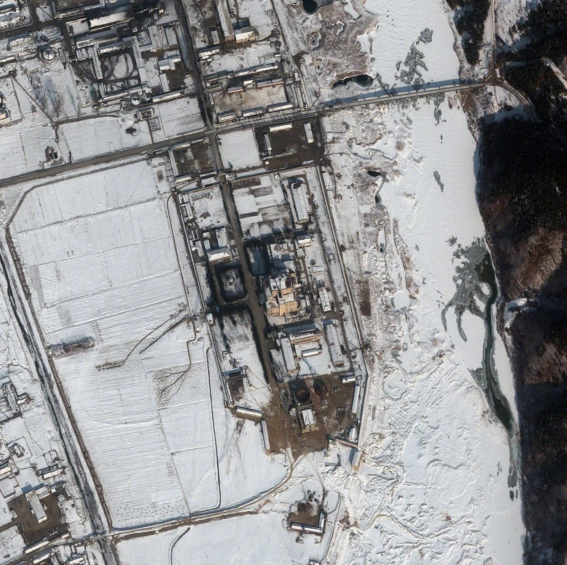
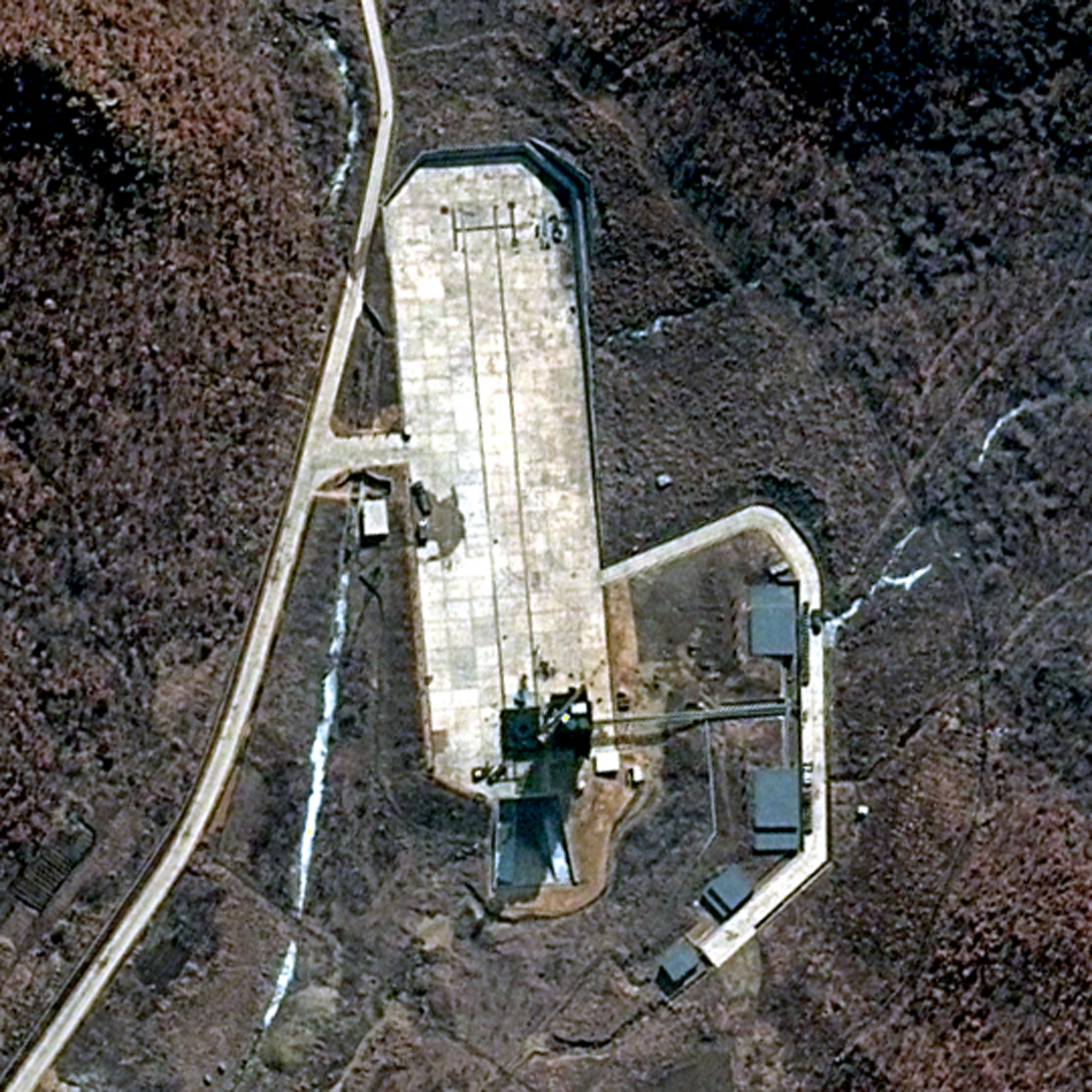
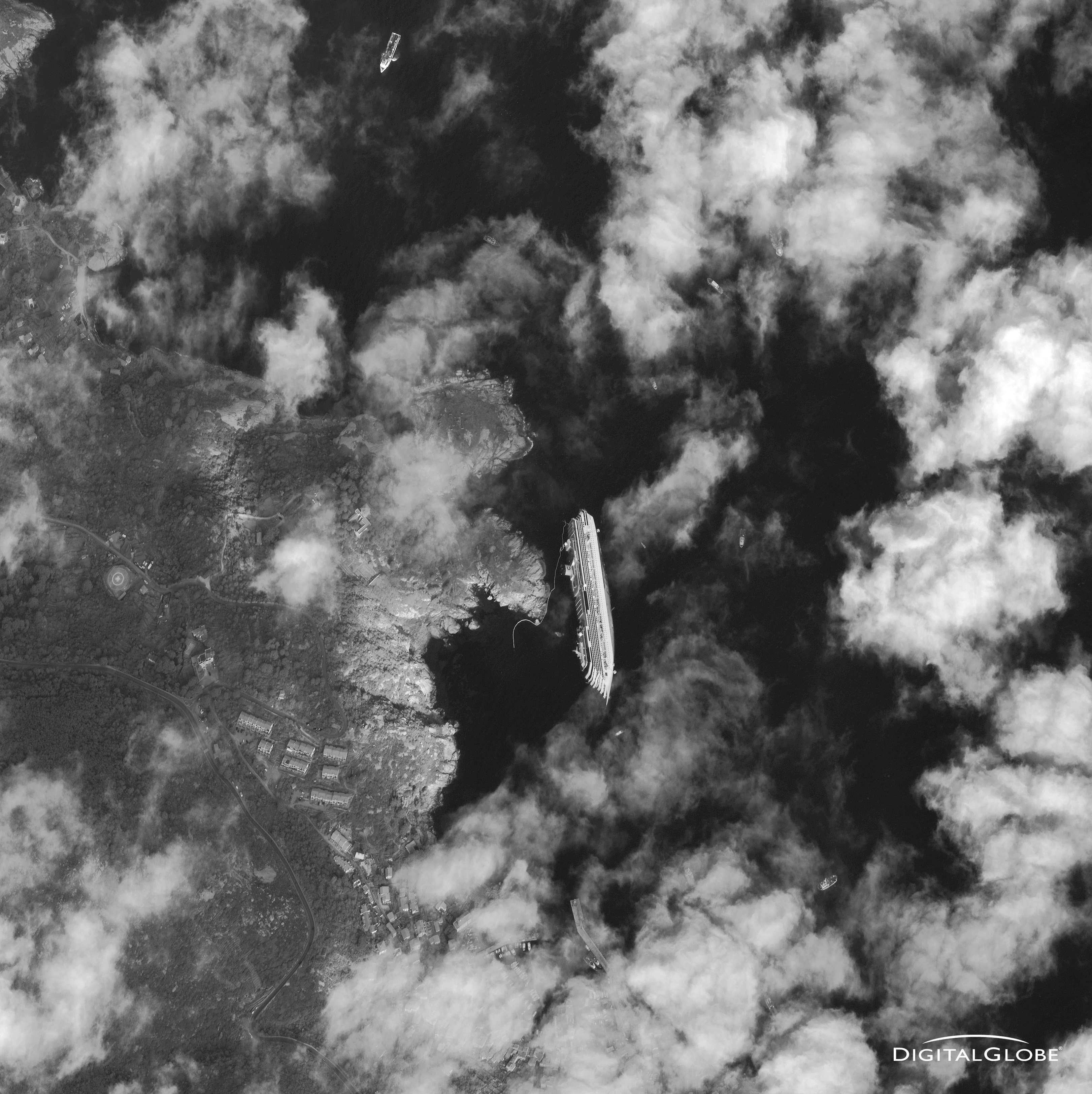
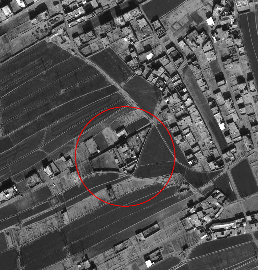
In today's difficult fiscal environment, many satellite operators are grappling with how to continue to provide valuable services within an increasingly constrained budget. For DigitalGlobe, a provider of high-resolution Earth imagery, the solution has come, in part, by expanding existing services while also pursuing new and emerging markets.
DigitalGlobe currently maintains three satellites, called QuickBird, WorldView-1 and WorldView-2, which collect data for a variety of commercial and governmental customers. The images are used for a range of purposes, including defense, intelligence, environmental monitoring, navigation technology and oil and gas exploration.
Recently, DigitalGlobe rejected a $792 million buyout offer from rival satellite imagery firm GeoEye, based in Herndon, Va., according to the space industry publication Space News.
In 2014, DigitalGlobe will launch its new WorldView-3 satellite, which will greatly improve the capabilities of its satellite fleet, and will open up new opportunities for the Colorado-based company in this fast-changing industry.
SPACE.com recently caught up with Jack Hild, DigitalGlobe's vice president of U.S. and international defense and intelligence strategy, at the 28th National Space Symposium to talk about the challenges that lie ahead, and how DigitalGlobe intends to weather the economic storm.
SPACE.com: It seems like the overarching theme at this year's symposium is how everyone is operating in this tough budget environment. How has DigitalGlobe been affected?
Hild: Obviously the US government has budget issues and they're going to have to work through that. We are looking at the things that we do, relative to our big contractor, the U.S. government, and the things that we can control in that whole discussion is our performance. We feel incredibly good about our performance, so we are really bullish on the future of this industry.
Breaking space news, the latest updates on rocket launches, skywatching events and more!
I worked for the government for 30 years, and I've seen the budgets come and go, and you always have this ebb and flow in any national budget. So, we will see some changes in there, but we control our performance, and we feel really good about how we're performing.
SPACE.com: What we're seeing now, is this part of that natural ebb and flow, or is this a particularly challenging time? How does this all fit into a more historical context?
Hild: People that I talk to are equating it to the early 1990s, basically when the Soviet Union fell, and there were some draw downs. But on the flip side of that, in many of these discussions, the leadership of many of the government organizations were around when that happened, and a couple of very senior folks who are still in government have made comments that they are not going to take the same draconian cuts that they did back then and basically decimate our workforce. Again, we're going about our business as strongly as we can, and we'll wait and see what happens. But right now, we think highly of growth potential in the industry, and we think we're a prime player in that. [Top 10 Technologies of the 9/11 Age]
SPACE.com: Have you been finding new markets that were previously unexplored, and other viable areas to expand?
Hild: We've always had an interest in expanding into commercial areas. Obviously, the diversification is good for us. I think when you look at the capabilities of our satellites, they serves a wide variety of users, both commercially and in government. Last year, we started up an analysis center, and the purpose of the analysis center was to move further up the workflow of many of our customers. The company has it in our long term strategy that it's important for us to move from just a provider of pixels to helping customers extract information out of those pixels to be able to do whatever their business is.
We've had some good luck with some of our analysis projects, but it's still in its infancy. But I'm incredibly optimistic that, especially with the new sensor [capabilities of WorldView-3], and even with the eight bands on WorldView-2, there are still discoveries to be made, and things that can truly help different industries do their business better.
SPACE.com: Is the analysis center more geared to commercial or government customers?
Hild: It's both. Actually, when we did our market analysis, we never really thought that governments would be a big consumer of that, because governments have thousands of people doing imagery analysis and they have legacy systems and all of that kind of infrastructure in place. Where we thought the value would be is in dealing with industries where this is brand new — marketing, for example, or commodities. These are areas where they probably never realized that any kind of imagery or spatial analysis could help them do their business better.
One of the commercial products that we were doing involved looking at oil storage tanks. Oil storage tanks have a floating top on them, so you can measure the amount of oil that's in those tanks from satellite imagery. And if you can measure and get an accurate reading of the inventory of oil before the government figures are released, then commodities investors are really interested in that information. So there are things like that that are pretty cool. Counting cars in parking lots — people have been doing that for years sitting up on a hill with a little clicker. Now you can do it completely remotely in an office with a computer.
SPACE.com: Are you finding any applications that have been particularly surprising to you?
Hild: Having been in the government managing these operations, when I heard the oil tank example, I gave them all a big gold star, because it was an application of this that I had never dreamed of before.
SPACE.com: With the addition of WorldView-3, what new capabilities will this satellite bring to the fleet?
Hild: A lot of evolutionary improvements in speed and storage, but the real value is adding eight bands of short-wave infrared collection. This is collection that is outside the visible range, and it'll do a couple things for folks. One thing that, as an old cartographer, I'm really excited about is that it's going to do a better job of automating feature identification, so things like differentiating between coniferous trees and deciduous trees, and certainly differentiating between things like water and soil. It takes us to a whole new realm of being able to identify those things.
In particular, things like minerals, soil content, and moisture content in soils, those kinds of things it's particularly well-tuned to do. It's really exciting. We're truly looking for people to discover things in that imagery once we start collecting it.
SPACE.com: So is this satellite going to give you added sensitivity?
Hild: Added sensitivity is a good way to describe it. We're picking up more information about the ground, and as we combine certain bands, we're going to be able to tune specific bands to go look for specific things. Here's a really good example: with just the eight-band visible sensor, which is on WorldView-2 and will also be on WorldView-3, we've been able to tune certain bands to see underwater. So we can reliably go down to about 30 meters. The cool thing about that is we can not only develop metric data about how deep the water is, but we can also start to use other bands to look at things like coral reefs. We've done some work with non-profits who are monitoring reefs around the world to see the health of them. There's a lot of interesting things we can do with WorldView-2. WorldView-3 is then going to be able to give us greater granularity in what we see today with the WorldView-2 sensor.
SPACE.com: When you eventually have four satellites in the fleet, how much data will you be collecting?
Hild: 2.3 billion square kilometers a year. That's 2 million square kilometers a day.
It's not just the coverage, though. The way we describe the whole history of commercial imagery, we're looking at four different eras. The first era was resolution. If you go back 40 years ago, Landsat came out with 80-meter resolution. WorldView-3 is going to take it down to 0.3 meters of resolution. Can you make it better? Absolutely you can make it better, but you're not going to make it a whole lot better than where it is today. [Satellites Capture Las Vegas' Growth Spurt From Space]
I would say exactly the same thing about accuracy. Landsat, when it first came out, had 100 meters or more of error within the image. We're down to some really good accuracy numbers right now, to the point where you can take your GPS readings and lay them on top of our images, and you're not going to see a lot of deviation there. Could you make it better? Absolutely, but we're getting to a point where we've tortured just about every bit of accuracy out of pixels that we're going to be able to.
The third era is speed, and this is where we are today. In the old days, if you needed a Landsat image, you wrote a letter to NOAA and asked them for an image, and then you'd get it in the mail. With WorldView-2, from imaging until an image is available to post on the web, we're driving it down to under an hour today. I think there's still room for improvement there, and it's one of the things we're doing to make it happen.
We really feel strongly about investing in speed, so we're installing seven mid-latitude ground stations. What that effectively will do, is give us a chance to upload instructions and download three times an orbit. It's a significant investment for us, in terms of dramatically increasing our capacity and decreasing the time to the user, but at the same time, it's a heck of a lot cheaper than putting another satellite up.
The fourth era, which I think we're just now in the beginning of, is content. With the WorldView-2 sensor, we went from the traditional four-band color multispectral imager to an eight-band multispectral imager. Now with WorldView-3, we're adding another eight bands of short-wave infrared. The effect of that is gathering more and more content to help people discover new things within the imagery. And I think that has a long way to go.
SPACE.com: And what about plans beyond that?
Hild: We're having fabulous discussions right now about what WorldView-4 is going to look like.
You can follow SPACE.com staff writer Denise Chow on Twitter @denisechow. Follow SPACE.com for the latest in space science and exploration news on Twitter @Spacedotcom and on Facebook.

Denise Chow is a former Space.com staff writer who then worked as assistant managing editor at Live Science before moving to NBC News as a science reporter, where she focuses on general science and climate change. She spent two years with Space.com, writing about rocket launches and covering NASA's final three space shuttle missions, before joining the Live Science team in 2013. A Canadian transplant, Denise has a bachelor's degree from the University of Toronto, and a master's degree in journalism from New York University. At NBC News, Denise covers general science and climate change.


