Tropical Storm Dorian Closes in on Puerto Rico in New Satellite Images

Breaking space news, the latest updates on rocket launches, skywatching events and more!
You are now subscribed
Your newsletter sign-up was successful
Want to add more newsletters?

Delivered daily
Daily Newsletter
Breaking space news, the latest updates on rocket launches, skywatching events and more!

Once a month
Watch This Space
Sign up to our monthly entertainment newsletter to keep up with all our coverage of the latest sci-fi and space movies, tv shows, games and books.

Once a week
Night Sky This Week
Discover this week's must-see night sky events, moon phases, and stunning astrophotos. Sign up for our skywatching newsletter and explore the universe with us!

Twice a month
Strange New Words
Space.com's Sci-Fi Reader's Club. Read a sci-fi short story every month and join a virtual community of fellow science fiction fans!
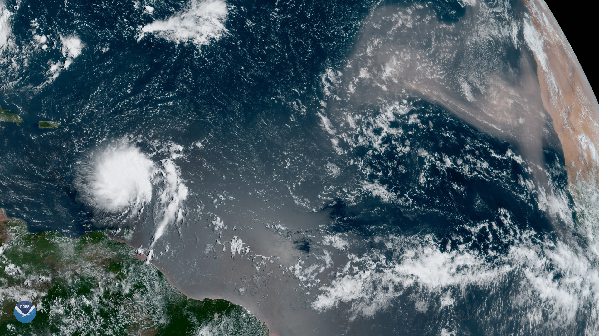
Satellites are keeping an eye on Tropical Storm Dorian as it approaches Puerto Rico and the U.S. and British Virgin Islands.
The storm may strengthen to a hurricane before arriving, according to a forecast published this morning (Aug. 28) by the National Oceanic and Atmospheric Administration's (NOAA) National Hurricane Center (NHC). NHC officials said the storm may strengthen again before continuing toward the Bahamas.
Meteorologists are particularly worried about the risk of flash floods due to rainfall accumulations of around 4 inches (10 centimeters) across the region, with some places seeing up to 10 inches (25 cm).
Related: Hurricane Florence in Photos: See the Massive Storm from Space
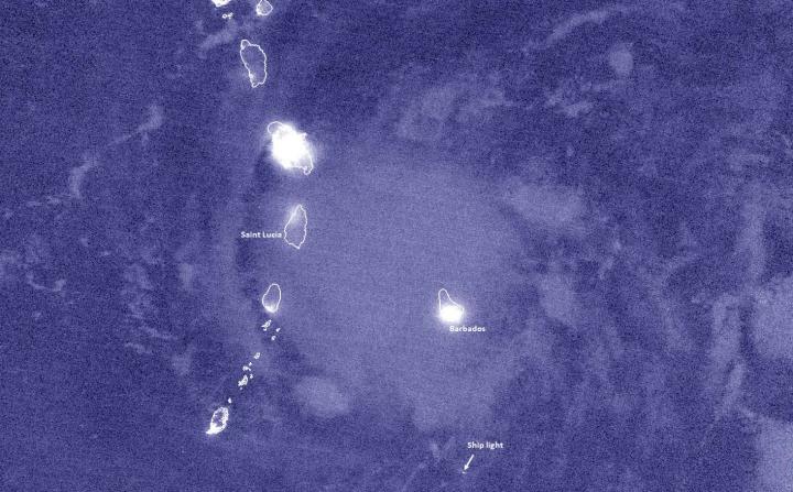
To get a better sense of what to expect from Tropical Storm Dorian, scientists are paying close attention to satellite views of the storm.
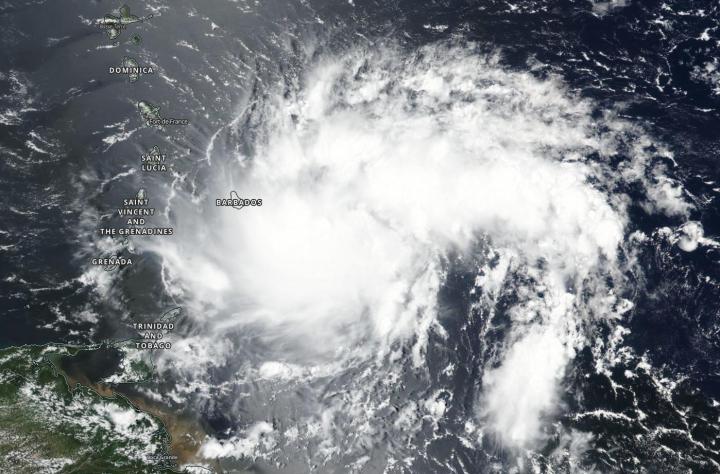
In particular, NOAA's GOES-East satellite and the joint NASA-NOAA Suomi NPP satellite are gathering helpful data about the storm. On Aug. 26, for example, Suomi NPP images showed that the storm's shape had morphed from a more circular knot of clouds to one resembling a comma.
According to NASA, that change signals that the storm has picked up some relatively dry air, reducing the number of thunderstorms that can form within it.
Breaking space news, the latest updates on rocket launches, skywatching events and more!
The NHC is tracking the storm and releasing regular updates; follow the center's website for more details on potential local threats and impacts.
- Hurricane Florence Is a 'No-Kidding Nightmare' in These New Astronaut Photos
- Huge Hurricane Florence Looms Large in New Views from Space (Video)
- Hurricane Florence Looks Like a Giant Cotton Ball in This Astronaut Photo from Space
Email Meghan Bartels at mbartels@space.com or follow her @meghanbartels. Follow us on Twitter @Spacedotcom and on Facebook.

Meghan is a senior writer at Space.com and has more than five years' experience as a science journalist based in New York City. She joined Space.com in July 2018, with previous writing published in outlets including Newsweek and Audubon. Meghan earned an MA in science journalism from New York University and a BA in classics from Georgetown University, and in her free time she enjoys reading and visiting museums. Follow her on Twitter at @meghanbartels.


