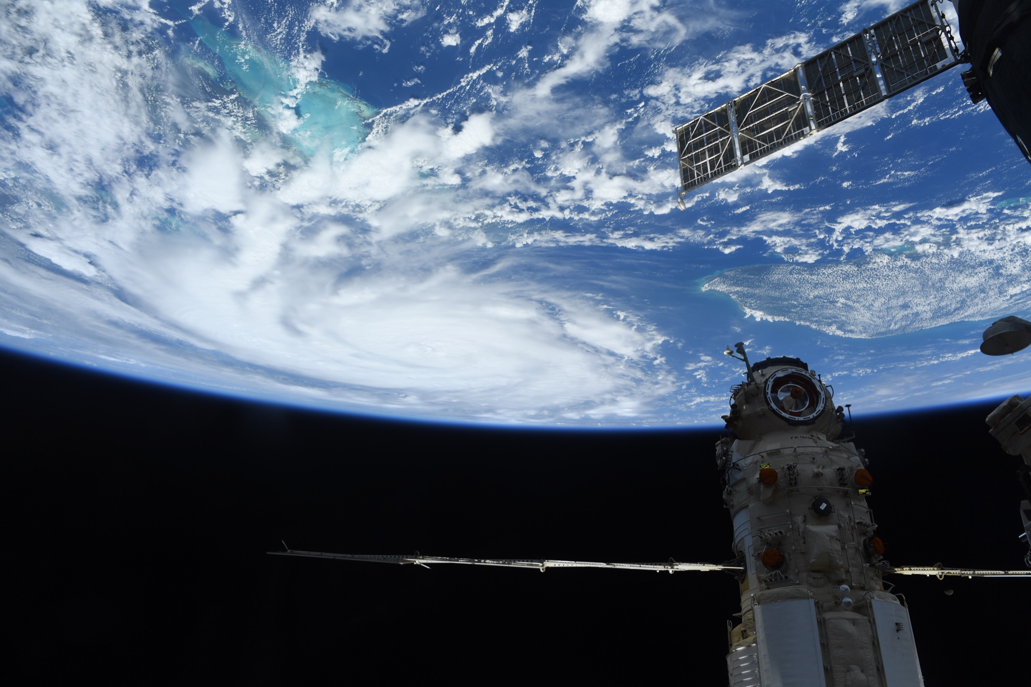
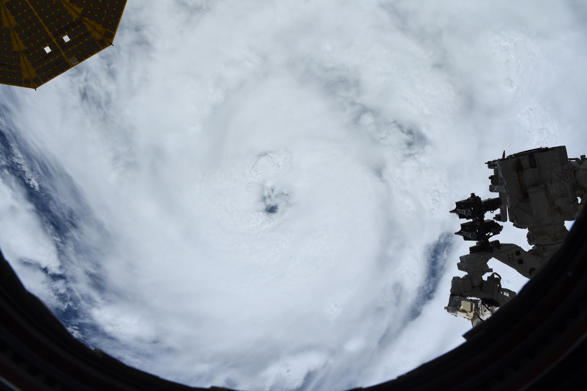
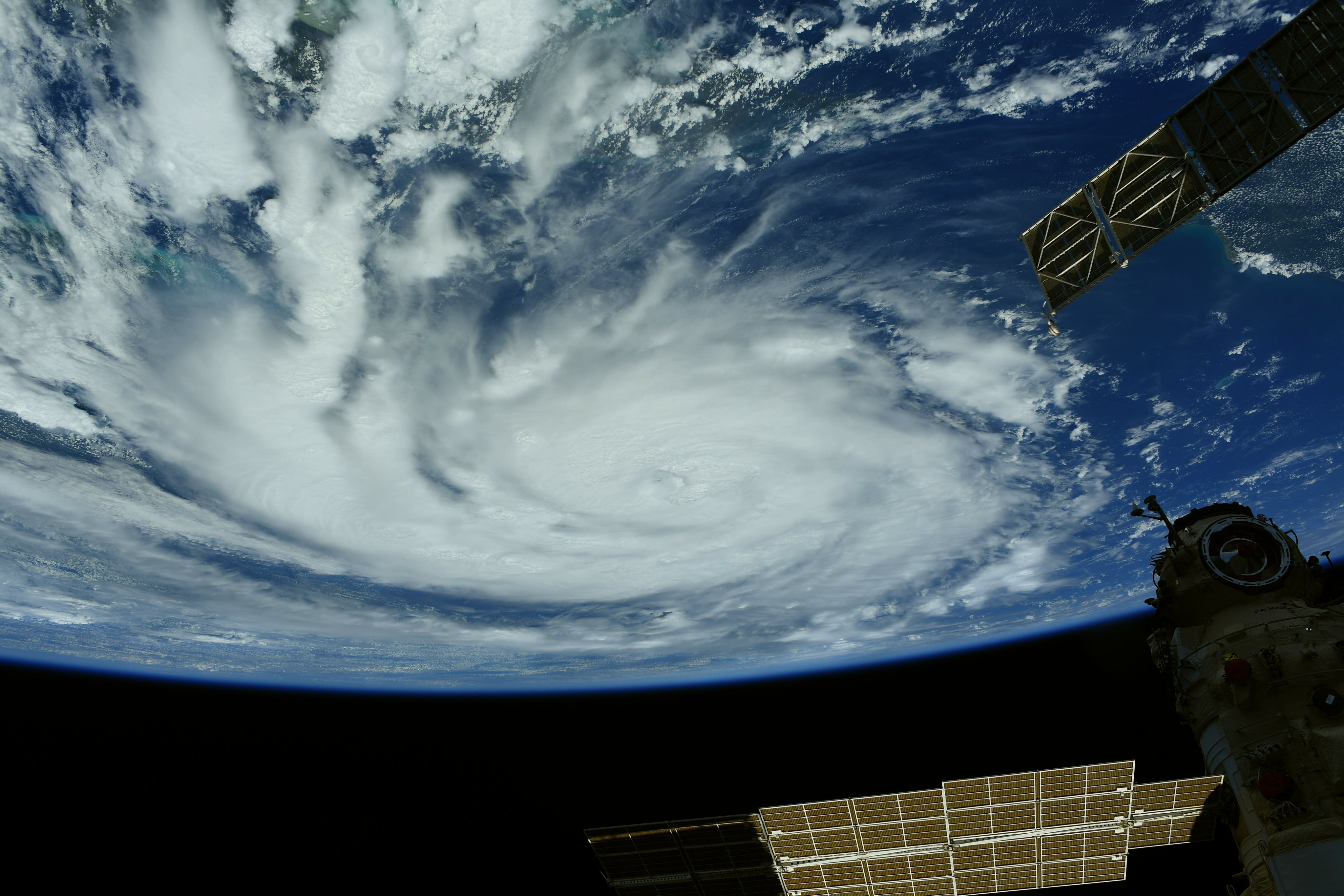
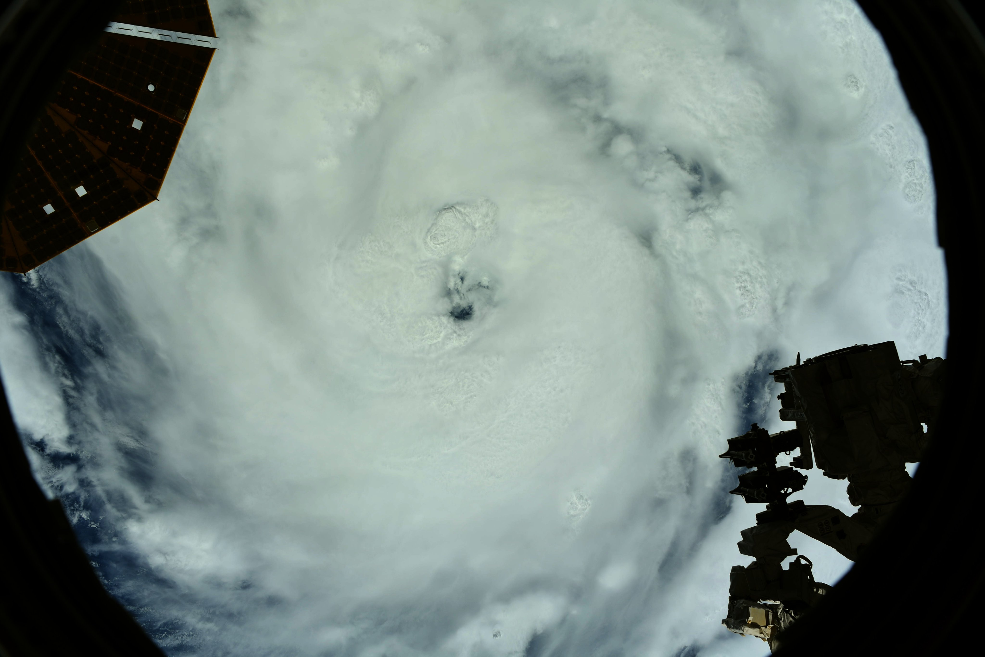
'Extremely dangerous' Hurricane Ida makes landfall in Louisiana with 150 mph winds
Breaking space news, the latest updates on rocket launches, skywatching events and more!
You are now subscribed
Your newsletter sign-up was successful
Want to add more newsletters?
Hurricane Ida, an "extremely dangerous" Category 4 hurricane, made landfall near Port Fourchon, Louisiana, at 11:55 a.m. local time on Sunday (Aug. 29), bringing with it maximum sustained winds of 150 mph (240 km/h) and "extremely life-threatening" storm surges of 12 to 16 feet (3.7 to 4.9 meters) according to the National Hurricane Center.
The storm came onshore 16 years after Hurricane Katrina devastated the region, killing more than 1,800 people when it made landfall as a Category 3 storm. Ida is the first named storm of the 2021 season to make landfall in the U.S.
Video: Hurricane Ida seen by satellites as Category 4 storm
Related: The 20 costliest, most destructive hurricanes to hit the US


As of 1 p.m. local time, the giant storm was barreling northwest at 13 mph (21 km/h) and was about 55 miles (90 kilometers) southwest of New Orleans, according to an update from the NHC.
Hurricane-force winds extended 50 miles (85 km) from the eye of the storm, while tropical storm-force winds extended 150 miles (240 km) from Ida's giant eye. As Ida's eye moves onshore, catastrophic wind damage is likely across large swaths of southeastern Louisiana, the NHC said. These winds will likely lead to widespread power outages and tree damage, according to the NHC.
Gov. John Bel Edwards declined to issue a mandatory evacuation order, saying there wasn't enough time to prepare for one, Accuweather reported. Instead, New Orleans Mayor Latoya Cantrell had asked people to either voluntarily evacuate or "hunker down," according to Accuweather.
Hospitals are currently "packed" with COVID-19 patients who were either too sick to be evacuated or had nowhere they could be transferred, The Citrus County Chronicle reported.
Breaking space news, the latest updates on rocket launches, skywatching events and more!
"We don't have any place to bring those patients. Not in state, not out of state," Edwards said in a press conference Saturday (Aug. 28).
However, hospitals are better prepared now than they were during Hurricane Katrina, with backup generators sufficient to last through prolonged power outages, The Advocate reported.
Between 10 and 18 inches (25 and 45 centimeters) of rainfall are expected across much of southeastern Louisiana and southern Mississippi, while isolated regions could see up to 24 inches (61 cm) of rainfall through Monday (Aug. 30), according to the NHC.
"This is likely to result in life-threatening flash and urban flooding and significant riverine flooding impacts," the NHC statement read.
In addition, tornadoes are possible Monday across portions of the Gulf Coast region, including southeastern Louisiana, southern Mississippi, southwest Alabama and the western Florida Panhandle.
Read here to learn more about how to prepare for potential hurricane conditions.
Originally published on Live Science.

Tia is the assistant managing editor and was previously a senior writer for Live Science, a Space.com sister site. Her work has appeared in Scientific American, Wired.com and other outlets. She holds a master's degree in bioengineering from the University of Washington, a graduate certificate in science writing from UC Santa Cruz and a bachelor's degree in mechanical engineering from the University of Texas at Austin. Tia was part of a team at the Milwaukee Journal Sentinel that published the Empty Cradles series on preterm births, which won multiple awards, including the 2012 Casey Medal for Meritorious Journalism.

