Aeolus Launches on Historic Wind-Mapping Mission

Arianespace launched Europe's new wind-mapping satellite Aeolus on Aug. 22, 2018. Aeolus is the first satellite designed to measure Earth's winds on a global scale, and it will help improve the accuracy of weather forecasts around the world. [Full Story: Europe Launches 'Aeolus' Satellite on Mission to Map Earth's Winds]
Ready for Launch

The European Space Agency's Aeolus satellite and the Arianespace Vega rocket stand ready for liftoff at Europe’s Spaceport in Kourou, French Guiana.
'Keeper of the Winds'

Named after the Greek god best known as the "keeper of the winds" in Homer's epic poem "The Odyssey," Aeolus will spend three years mapping winds around the globe.
Aeolus Takes to the Wind

Riding on a pillar of flames, the Aeolus wind-mapping satellite and Vega rocket soar into the evening sky.
On the Launchpad

The Vega rocket with Aeolus on top stands ready to launch at the Vega Launch Complex (SLV) in Kourou, French Guiana.
Into the Clouds

Riding on an Arianespace Vega rocket, the Aeolus satellite lifts off from Europe’s Spaceport in Kourou, French Guiana at 5:20 p.m. EDT (2120 GMT) on Aug. 22, 2018.
Liftoff!

A Vega rocket carrying the European Space Agency's Aeolus wind-mapping mission lifts off from Europe’s Spaceport in Kourou, French Guiana at 5:20 p.m. EDT (2120 GMT) on Aug. 22, 2018.
Liftoff!

Aeolus lifts off on a Vega rocket right on time at 5:20 p.m. EDT (2120 GMT) on Aug. 22, 2018.
Up, up and away!

The Vega rocket soars into space shortly after lifting off from the Vega Launch Complex (SLV) in Kourou, French Guiana, on Aug. 22, 2018 at 5:20 p.m. EDT (2120 GMT).
Fairing Separation

An artist's illustration shows the payload fairing opening to release Aeolus into space.
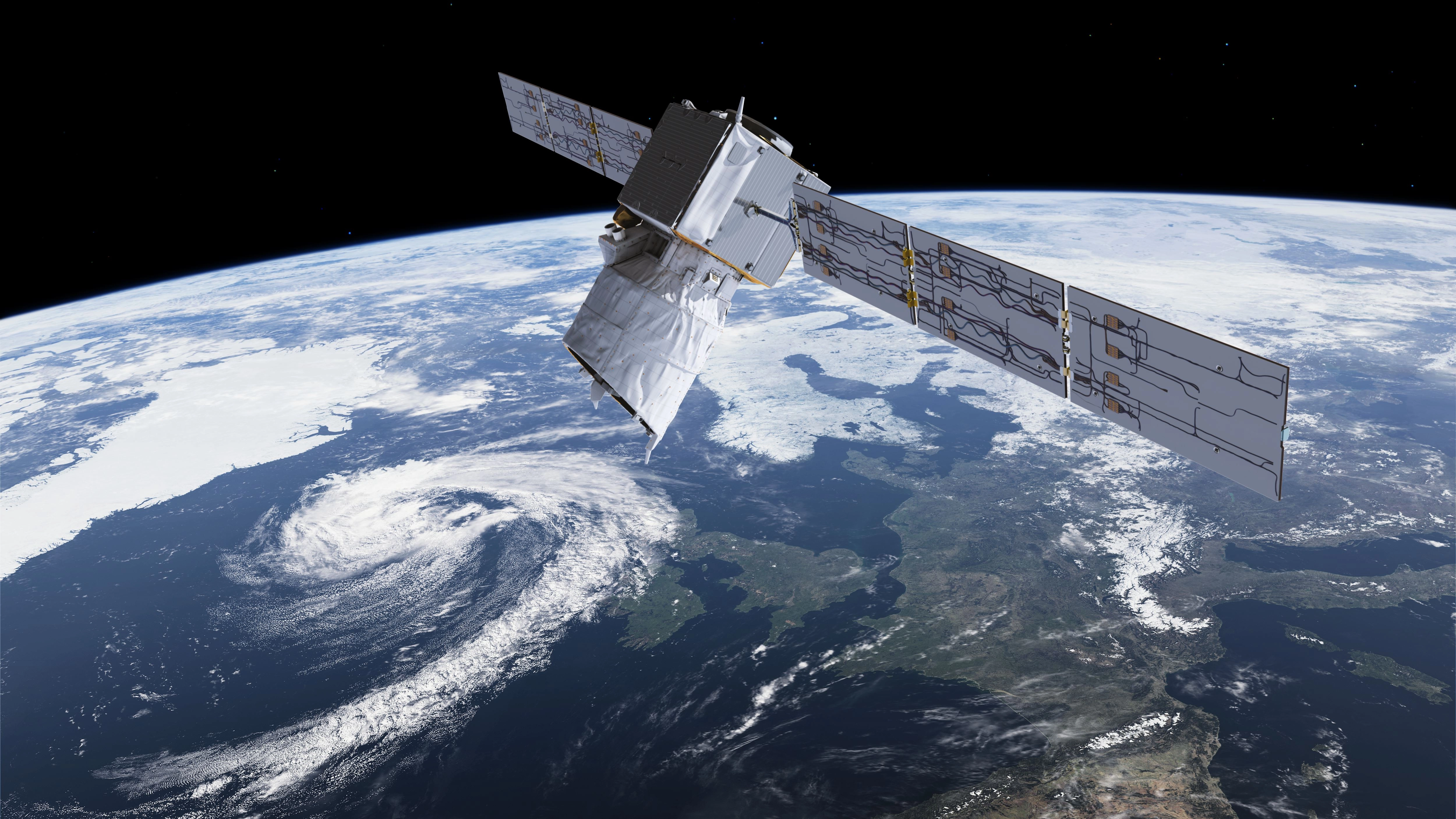
Aeolus

An artist's impression of the Aeolus satellite orbiting above the Earth.
