Satellites orbiting Earth captured a powerful undersea volcanic eruption from space on Thursday (Jan. 13).
In the South Pacific kingdom of Tonga, which is made up of over 170 islands, the (mostly) underwater volcano on the island Hunga Tonga-Hunga Ha'apai erupted, sending plumes up to 12 miles (20 kilometers) into the air, the Tonga Geological Services has shared online.
Orbiting probes have captured images of the ongoing explosive event, which follows a previous eruption in December 2021. This event is more than seven times as powerful as December's eruption and has so far sparked a tidal wave in Tonga's capital Nuku'alofa and a tsunami warning for all islands in Tonga, in addition to possible threats of acid rain.
Related: 10 incredible volcanoes in our solar system
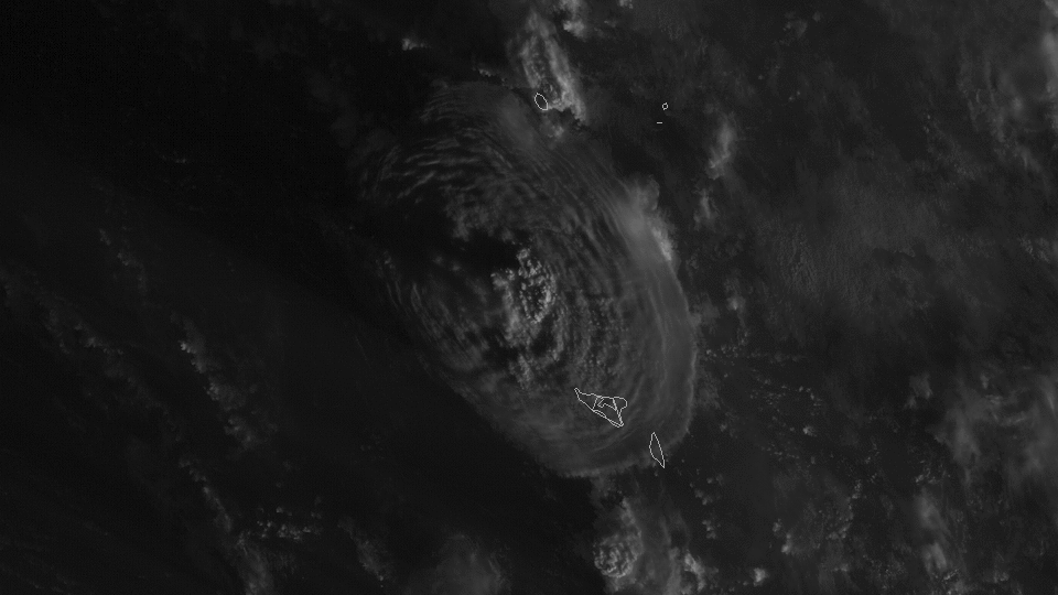
This image above shows the volcanic eruption as seen by NOAA's (the U.S. National Oceanic and Atmospheric Administration) GOES West satellite, an Earth-orbiting probe.
In this imagery from GOES West, you can see the ash plume and gravity waves rippling outward from the eruption. So far, the eruption has stretched to have a radius of over 161 miles (260 km), NOAA reported.
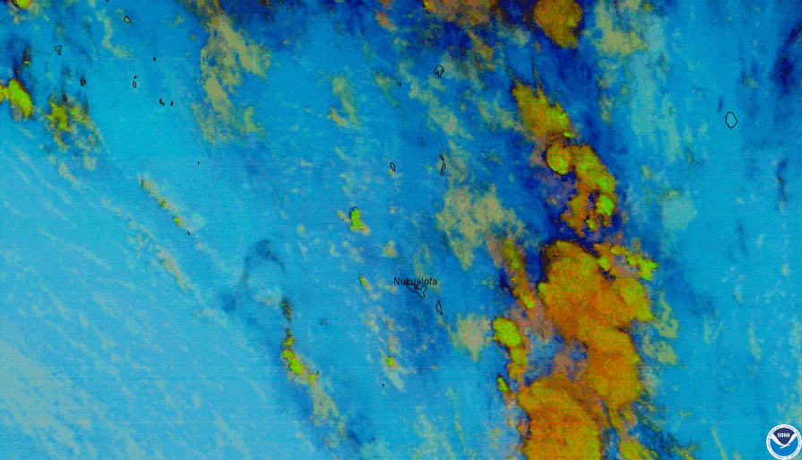
In the Ash RGB ("red, green and blue") imagery above, researchers can see the eruption in infrared, helping them to identify volcanic ash and sulfur dioxide ash using color.
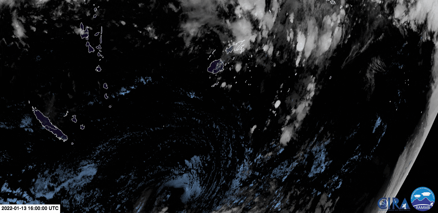
The Himawari-8 satellite, operated by the Japan Meteorological Agency, also captured the eruption from space, as you can see above.
Email Chelsea Gohd at cgohd@space.com or follow her on Twitter @chelsea_gohd. Follow us on Twitter @Spacedotcom and on Facebook.