Behemoth Snowstorm Watched by Satellites As It Hits US Northeast
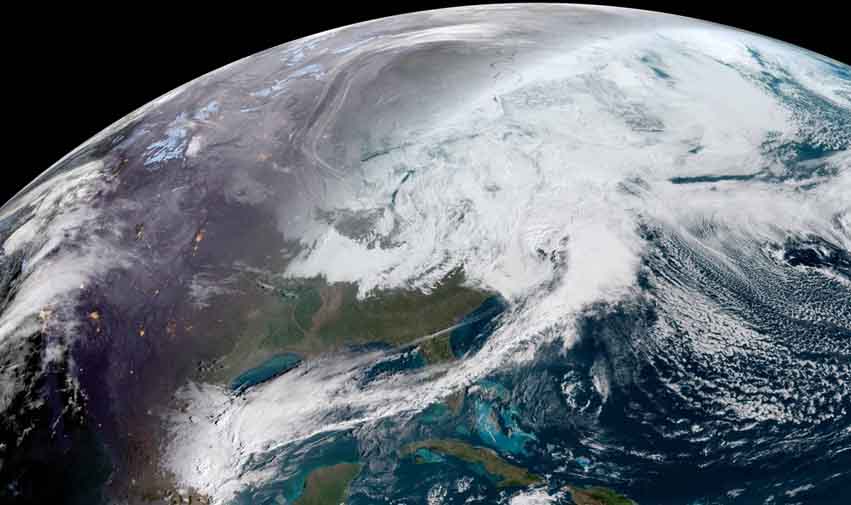
A powerful nor'easter is expected to dump more than a foot of snow in some regions of the U.S. Northeast today (March 7), and satellites are tracking the snowstorm from space.
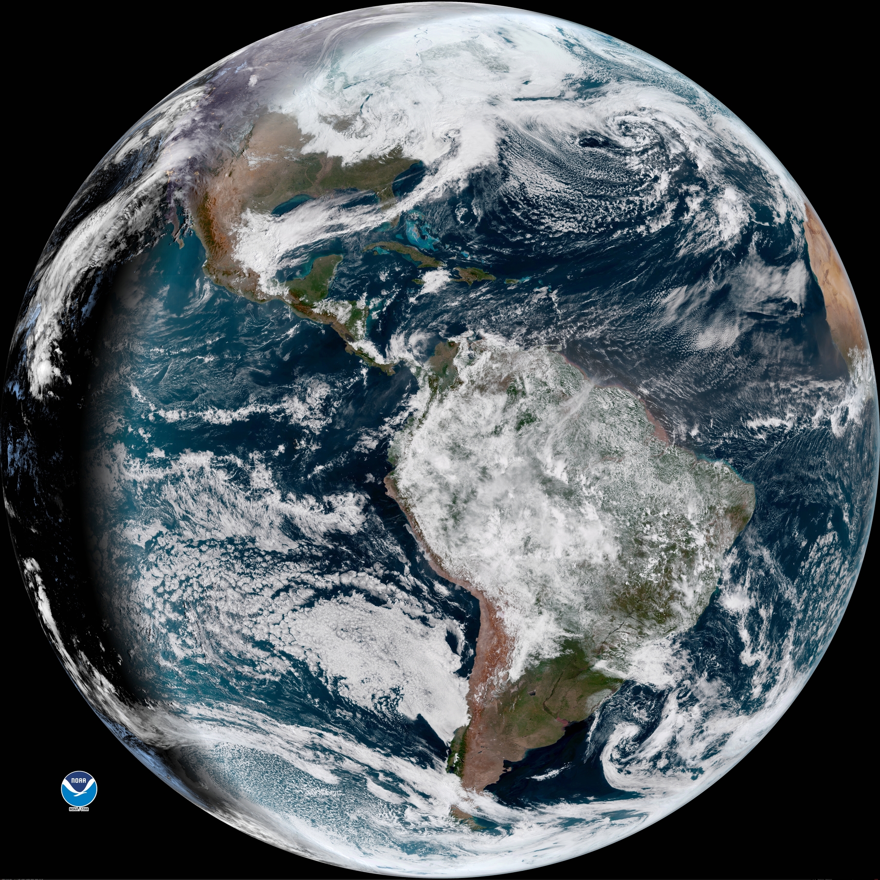
The GOES-16 satellite has captured a stunning view of the storm, as well as the rest of the Earth, as part of the spacecraft's nonstop weather tracking from orbit. The satellite, which is also known as GOES-East and is operated by the National Oceanic and Atmospheric Administration (NOAA), captured a video of the storm this morning in different wavelengths. [Amazing Earth Photos by GOES-16 ]
"It's a snowy sunrise this morning as #GOESEast captures the water vapor covering the Northeastern United States," NOAA officials wrote in a Twitter update showing the video. "This geocolor imagery combines multiple spectral bands on the satellite to capture the view as the human eye would see it from space."
The National Weather Service has issued several winter-storm warnings and winter-weather advisories for the mid-Atlantic and Northeast regions for today's nor'easter. According to The New York Times, up to 18 inches (46 centimeters) of snow could fall in New York's Orange, Putnam and Rockland counties, as well as Allentown, Pennsylvania, and parts of Connecticut and Massachusetts. New York City could see up to 11 inches (28 cm) of snow, and northern New Jersey's Sussex County could see 19 inches (48 cm), according to a National Weather Service forecast.
Email Tariq Malik at tmalik@space.com or follow him @tariqjmalik and Google+. Follow us @Spacedotcom, Facebook and Google+. Original article on Space.com.
Breaking space news, the latest updates on rocket launches, skywatching events and more!

Tariq is the award-winning Editor-in-Chief of Space.com and joined the team in 2001. He covers human spaceflight, as well as skywatching and entertainment. He became Space.com's Editor-in-Chief in 2019. Before joining Space.com, Tariq was a staff reporter for The Los Angeles Times covering education and city beats in La Habra, Fullerton and Huntington Beach. He's a recipient of the 2022 Harry Kolcum Award for excellence in space reporting and the 2025 Space Pioneer Award from the National Space Society. He is an Eagle Scout and Space Camp alum with journalism degrees from the USC and NYU. You can find Tariq at Space.com and as the co-host to the This Week In Space podcast on the TWiT network. To see his latest project, you can follow Tariq on Twitter @tariqjmalik.


