Gravity Assist Podcast: Earth, with Tom Wagner
Breaking space news, the latest updates on rocket launches, skywatching events and more!
You are now subscribed
Your newsletter sign-up was successful
Want to add more newsletters?

Delivered daily
Daily Newsletter
Breaking space news, the latest updates on rocket launches, skywatching events and more!

Once a month
Watch This Space
Sign up to our monthly entertainment newsletter to keep up with all our coverage of the latest sci-fi and space movies, tv shows, games and books.

Once a week
Night Sky This Week
Discover this week's must-see night sky events, moon phases, and stunning astrophotos. Sign up for our skywatching newsletter and explore the universe with us!

Twice a month
Strange New Words
Space.com's Sci-Fi Reader's Club. Read a sci-fi short story every month and join a virtual community of fellow science fiction fans!
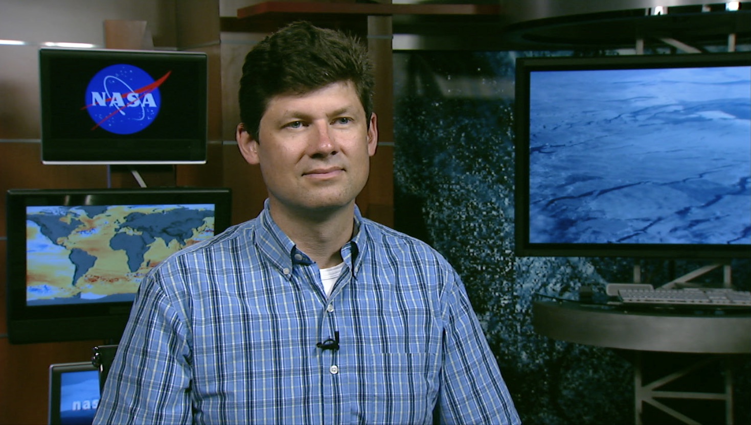
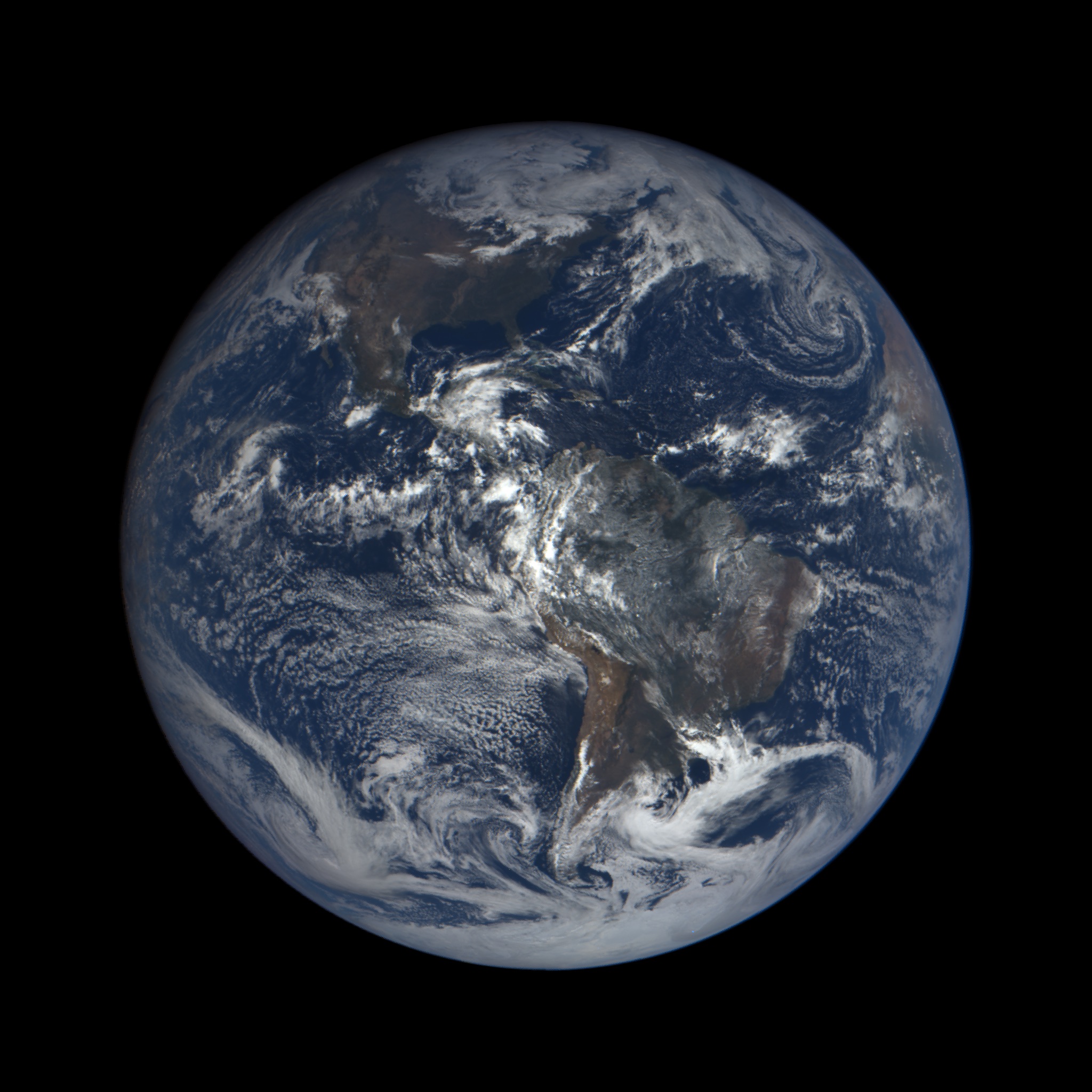
The Gravity Assist Podcast is hosted by NASA's Director of Planetary Science, Jim Green, who each week talks to some of the greatest planetary scientists on the planet, giving a guided tour through the Solar System and beyond in the process. This week, he spoke to Tom Wagner of NASA's Earth Science Division, to discuss NASA's work studying our planet. In this first part of their discussion, the pair talk about Arctic sea ice, disaster response and how what we learn about Earth can be applied to other planets and vice versa.
You can listen to the full podcast here, or read the first part of the transcript below.
Jim Green: I think many people don't realize that NASA really is not only exploring space beyond Earth, but we're studying Earth as a planet in its own right, and we're doing that because it allows us to make life better here on Earth. So, Tom, tell me much more about what Earth science is all about here at NASA. [NASA's Best Earth-from-Space Photos by Astronauts in 2017 (Gallery)]
Tom Wagner: The biggest thing with Earth science at NASA is that we're trying to understand how the Earth works as a big system — that is, how all the parts knit together. To do that, we need things like satellites and aircraft that can cover the vast distances [across] the planet so that you can see how change in one place is connected to change someplace else.
Jim Green: You know, the Earth has done nothing but change over time. From a planetary scientist's perspective [these changes take place over] billions of years. That's how we look at it sometimes. But in reality, NASA's looked at Earth from space and seen changes even over the last 50 or 60 years. What are some of those changes that we see?
Tom Wagner: One of the biggest places and actually some of the first satellite data that was collected about the Earth was of the Arctic sea ice where they used rockets to take pictures of it back in the 1960s. What we've seen is that, over the past 30, 40 years, we've lost something like 80 percent of the ice that used to be there by volume, and it's an amazing change. It's like turning one of the big knobs that controls the Earth as a machine.
Jim Green: That water's got to go somewhere. What are some of the missions that look at that, and what are they telling us about where that water goes?
Breaking space news, the latest updates on rocket launches, skywatching events and more!
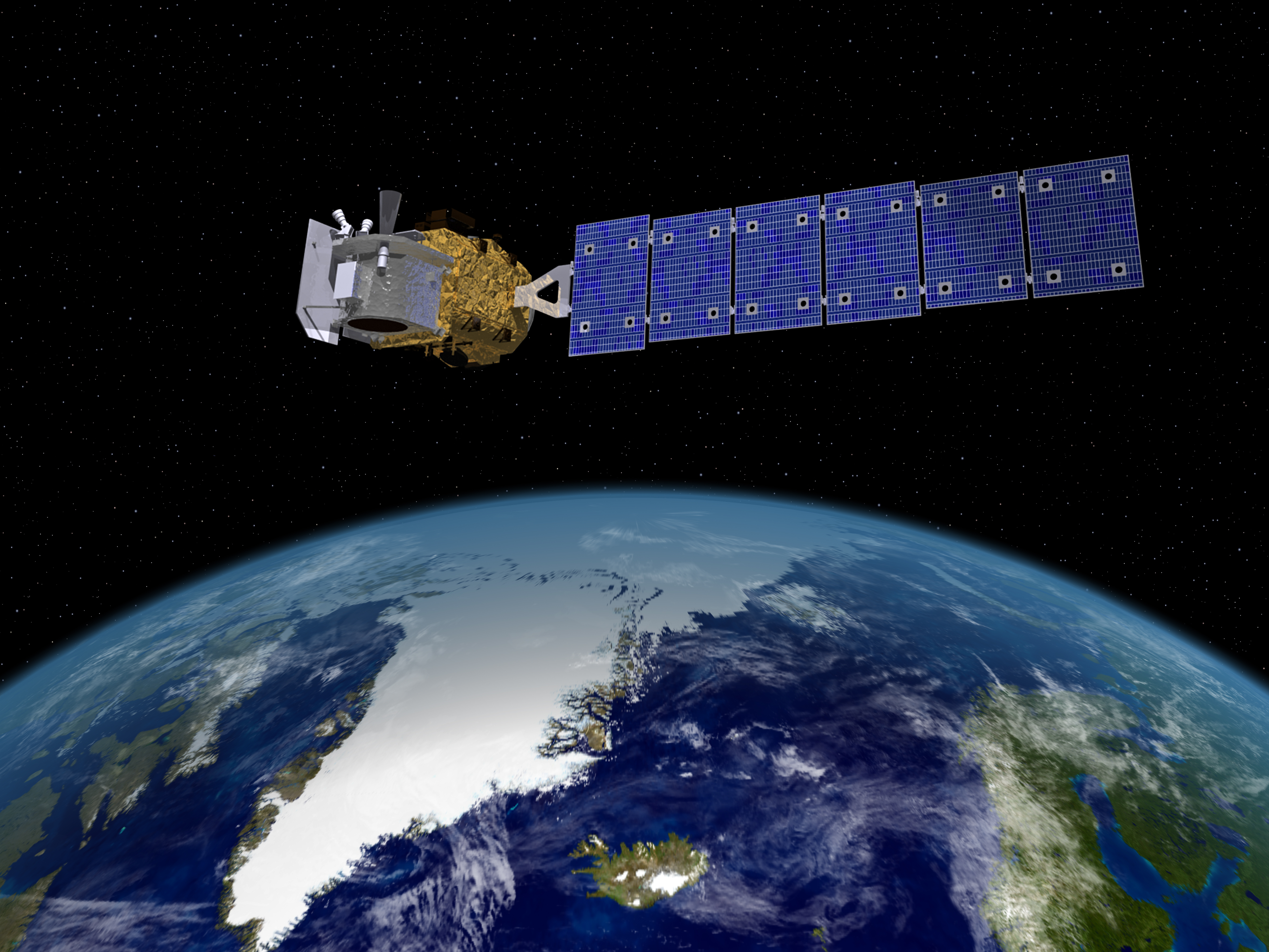
Tom Wagner: There's a bunch of different things that we do. One of them is that we use satellite radars to look at how fast the ice on the land, like in Greenland and the Alaskan glaciers, is flowing into the ocean. We use satellites like GRACE (Gravity Recovery And Climate Experiment), which measure variations in mass at the Earth's surface. Then we have satellites like ICESat (Ice, Cloud and land Elevation Satellite) and ICESat-2, which we're going to launch in 2018, which look at the height of the ice and how it's changing.
Jim Green: How does NASA study and provide information about earthquakes and hurricanes, floods and wildfires?
Tom Wagner: One of the important things NASA does is to try and develop the next generation of tools for better forecasting of those events, so we can do a better job figuring out what the impacts are. And the kinds of work take all different kinds of approaches. With hurricanes, we'll look at those with satellites. We'll also fly over them with aircraft that map the structure of the hurricane so that we can figure out its power and the direction we're going. We work closely with the NOAA (National Oceanic and Atmospheric Administration) on that.
When there's something like a terrible oil spill in the ocean, we have special radars that we'll put out on planes to go out and map the extent of the spill, because that's really hard to do. When it comes to things like earthquakes, we use satellites to map the motions of the [tectonic] plates so that we can get a better understanding of how the Earth moves and where earthquakes might happen next. We even have a program that specifically looks at natural disasters and how we can best support the other agencies that are delivering the aid.
Jim Green: One of the things that NASA does that really is so important is to use those assets [to provide] quick response capability, and to distribute that data to the right places. How do we do that?
Tom Wagner: When there's an action like that, the messages come into NASA headquarters to the person who is the disasters program manager. Right away they rally the scientific community, [including] people from the NASA centers but also from academia, to figure out what are the best things we can do to help.
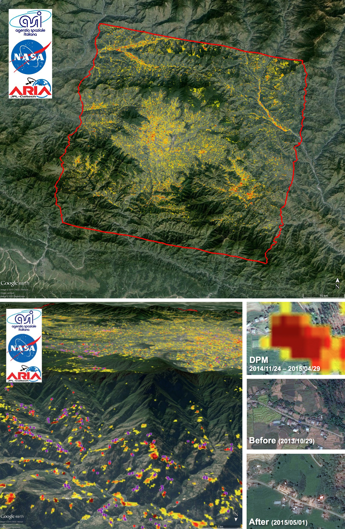
One really good example was the Nepal earthquake that happened [in 2016] where they got together to look at things like landslides, because it's not just what happened during the initial shaking, but later on when you get rain, how has the landscape changed and where are there most likely to be landslides?
Jim Green: Your area of expertise is in the cryosphere. What does that mean, and what do you do exactly?
Tom Wagner: Yeah, it's kind of a fun job title. Technically, I'm in charge of all the ice on the planet. I work pretty closely with colleagues at other agencies like the NSF (National Science Foundation).
We're trying to understand how the Earth is changing as a system, and one of the biggest [things] is how are we losing ice from places like Greenland and Antarctica, and how is that contributing to sea level rise, and then also how is the sea ice changing in the Arctic and Antarctica, and what does that mean for us as a planet.
Then we're also doing things like looking at ice and snow in the Himalayas to understand how water resources are going to be affected for the billions of people who live here as the planet continues to change.
Jim Green: One of the things that we've uncovered is that, in Earth's past, [our planet has] gone through various stages, one of which we call Snowball Earth. What can you tell us about what happened during that period?
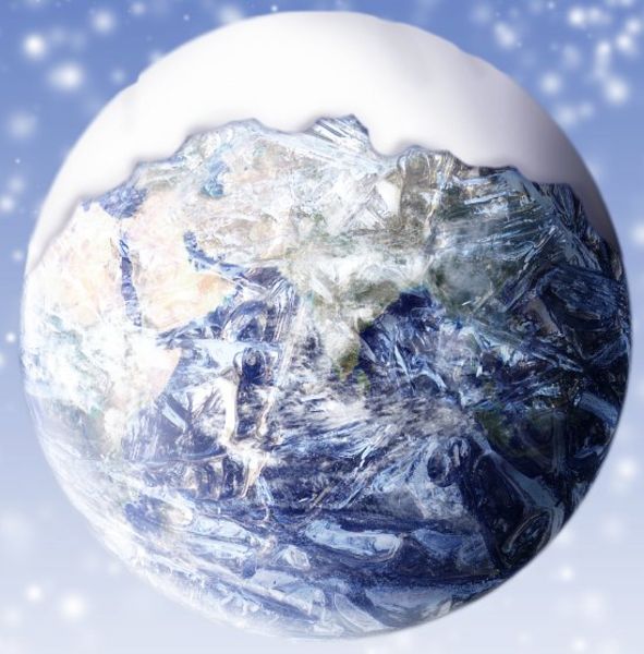
Tom Wagner: You're talking about going back hundreds of millions of years to when the planet was frozen solid from the poles to the equator. Probably what happened was [that it was] a time when carbon dioxide (CO2) was drawn down so low [from the atmosphere] that the planet got cold. Now the big thing is, once you freeze the planet over, and we have good evidence of that from things like glacial striations that we find on rocks from those periods, how do you get the planet out of it, because ice reflects almost all of the sunlight that hits it back into space. It's like a perfect mirror.
One of the theories is that eventually volcanoes generate enough CO2 to begin to warm the planet up, so that that ice actually melts. It's a good example of how we can apply the same principles we see operating on the Earth today [to what happened] back in time to understand how the planet changed and evolved.
Jim Green: The Snowball Earth era reminds me of several objects in the Solar System now that we're trying to study, one of which is Europa, [which has] got this fabulous icy crust over the whole moon and underneath it perhaps as much as twice the volume of water than exists here on Earth. So, the study of ancient Earth during these phases might actually inform us as to what's happening on some of these other planets and moons. [See the Earth and Moon from 40 Million Miles Away (Photo)]
Tom Wagner: Yeah, and another thing is the techniques that we develop to study ice here on Earth also apply to Europa, like the scientists that work on radars that will go to Europa to map the structure of that ice; they're some of the same scientists that work in Antarctica today to help us map the ice and the bed underneath the ice.
Some of the theories we've developed for how the ice changes, how it calves, how it breaks, they also apply on Europa. It's colder and it's a little bit different, but it's the same basic principles.
What I think is some of the most exciting research going on today is where people are drilling through the Antarctic ice to tap the watery bodies that are underneath them. Some of those are locked on land, and they're not in connection with the ocean, and they've been separated from the atmosphere for many millions of years. And so, even astrobiologists and origin-of-life crowd are interested in those.
You have places like the Ross Ice Shelf, which is the size of France, where the massive glaciers of Antarctica flow into the ocean and flow. And I know the planetary science community is joining with the Earth science community to make a probe that will go [down] through many hundreds of feet of ice to the ocean and sample it and then come back to the surface. That's exciting for planetary science as a prototype, but it's also exciting for Earth science because no one's been there before. We have almost no exploration of it, and I think it's a really good joint effort.
Jim Green: Antarctica is such a special place. You've been down there many times, so what is it like?
Tom Wagner: For about five years I was the program director for Earth Sciences, and what was neat about that job was, if something didn't fit in [with] another program, it was definitely Earth sciences. We got to cover everything from ancient dinosaurs to modern mummified seals to earthquakes, which Antarctica has plenty of, and volcanoes and magma and all kinds of fun stuff.
So going there was great. [It's like] going to the land of the unicorns, right? Hardly anybody gets to go there, and the things that you see — you know, you're touching ice that is thousands of years old, like from the times of the pyramids.
The life there was amazing. There are benthic environments [regions at the lowest level of a body of liquid water] that are dominated by soft-bodied creatures that are then eaten by seals, and you have penguins hopping around, which are amazing things. One time, I landed in a helicopter, and a whole troop of emperor penguins started sliding and walking towards me, and they surrounded the helicopter, and we had to wait until they got bored and left.
Jim Green: So, they were just exploring, too.
Tom Wagner: They were. They really like people. It's funny.
Jim Green: What have you learned as an Earth scientist that would surprise most people?
Tom Wagner: I think the number one thing for me is that I think people view the Earth as this incredibly huge thing, and they don't understand that we as people really have the power to fundamentally reshape it, and we have. We've really affected the Earth as an environment, everything from changing the landscape and changing the ecosystems through to changing the composition of our atmosphere and changing the temperature of our planet. And I think that profound shift is one of the most important things that we've learned through our study of the Earth in the last 100 years.
Jim Green: What are some of the new tools that are being used to study the polar environments?
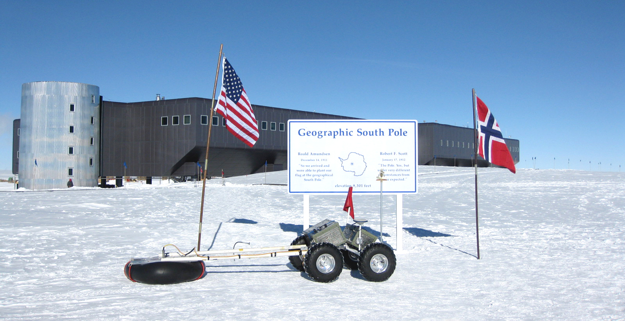
Tom Wagner: There's three different flavors that I think really cross over with planetary applications right now. We've actually been developing robots that will drive great distances across the ice and make measurements, [for example] by dragging radars behind them to map underneath the ice, and we've got some that have travelled a thousand kilometers already, and it's really a promising area for us because these areas are just so remote and so challenging and so dangerous to work in, and you need precise, accurate, high-resolution information that only a ground survey can provide in some cases. So, robots have really great potential for us.
We also work in the air. Unmanned aerial systems are things that we're using now over sea-ice and land-ice at all scales. In some ways, some of the most amazing research is going on with small aircraft where people are using those to map surface in a range of ways.
Then, finally, undersea exploration or under-the-ice exploration is really one of the next big areas where what we need to do is understand the flux of heat between the ocean and the ice to understand why it's breaking off, melting and going to the ocean so fast. In some of those places you can't go up next to them with a boat because an iceberg the size of the US Capitol Building might calve off [shed smaller icebergs] on you. One of the only ways to do it is with submersibles that are autonomous. Under the sea-ice in the Arctic, you need to be able to go great distances and make all kinds of measurements, [meaning that] just like in the planetary science case, where you need to operate in a remote location with something that's got some autonomous behavior, that's what we really need, too.
Jim Green: Your work at MIT where you graduated was on volcanoes, not only on the Earth but also on the Moon. How do volcanoes play a role in the conditions here on Earth?
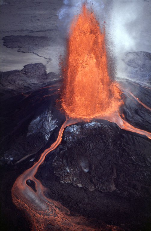
Tom Wagner: Volcanoes are really important. They affect us through natural disasters, but on top of that volcanoes refresh the soils by bringing up all these nutrients, creating great soils to grow crops in, so a lot of the time they are great places to live because of the soils. But they also really fundamentally affect the composition of our atmosphere. They constantly release carbon dioxide (CO2) into the atmosphere, which can cause the planet to warm, but they can also can throw particles into the upper atmosphere, which causes the planet to cool.
For us trying to understand the Earth as a system, the effects of volcanoes are so great that if you want to do something like interpret the Earth's temperature record, you have to understand what input volcanoes had. And every couple of decades we get a massive eruption that really changes the planet, it might even make it cool for a couple of years.
Jim Green: Well, volcanoes also generate a lot of CO2, isn't that right?
Tom Wagner: They are constantly releasing CO2 into the atmosphere, and if you think of the billion year cycles that occur on the Earth, volcanoes are the component that drive CO2 up. Then it's weathering of rocks: as rainfall comes down, it scrubs CO2 from the atmosphere [and] that CO2 reacts with rocks, and it actually produces things like what critters secrete, like the Bahama Banks [limestone — or carbonate — platforms below the water around the Bahamas] and other processes through that. The volcanoes bring the CO2 back up when it gets drawn down [into the mantle].
One thing to understand is that the scale of that process is so profoundly slow compared to what we've done as humans, it operates on tens to hundreds of millions of years, compared to what we've done in a pretty short time.
Jim Green: The volcanoes here on Earth and the release of CO2 and other particulate in the atmosphere remind me of Venus and what we think may have been happening there for so long, and that is it is very volcanic, there's still some hot areas on it, and it may still be releasing an enormous amount of CO2. So, what's the difference between Venus and Earth when you look at it that way?
Tom Wagner: One of the things I love about Venus is that we see these funny volcanic structures, like these haystack things. And, as I understand it, some of the fundamental ideas for thinking of the Earth as this greenhouse came from studies of places like Venus. But, also on all the terrestrial planets, a lot of the processes that run on those, on the Earth and on Mars and on Venus and even the Moon, are pretty similar, like the fundamental processes by which you create magma and what the composition of that magma is.
Now, the planets have slightly different histories because of their different compositions, but the overall principles that govern them are the same. That's why you'll find that a lot of the time scientists who study volcanoes on the Earth also study the other planets, too.
Jim Green: I'm constantly being reminded that what happened on Venus can happen on Earth, and so we need to study these terrestrial planets and understand their evolution because we're all evolving, even today.
Tom Wagner: Yeah, good point. And I also think that what I want to say to kids and people who are [reading] is that Earth sciences, planetary sciences, they're really fun detective mysteries and they're just kind of inherently interesting. Like, 'hey, we found this weird looking volcano on Venus, what the heck made that?' How would we go about understanding that? What kinds of things would we do in the laboratory? What kinds of places on Earth might we explore to sort of understand that? And then, ultimately, what kind of mission can we fly to a place like Venus to try to understand it?
Jim Green: So, what's coming up next in Earth science in terms of the satellites or the missions or the real important themes to study?
Tom Wagner: We've got a couple of great missions coming up in the coming year or so. The GRACE follow on mission is going to occur. The GRACE mission was a pair of satellites that orbited the Earth, very precisely mapping variations in mass, and they've been used to do everything from figure out how much ice we're losing from the big ice sheets to understanding how there's a cycle to the way water is stored on the land that is so great it even affects sea level. So, that [follow up] mission will fly — I think it's gonna launch in May 2018. Then later in the year, towards the fall, we're going to launch ICESat-2, which has LIDAR [LIght Detection And Ranging]. Think of it as a laser altimeter in space. It's a very special one, though. It's going to have six beams mapping the height of the Earth all over and in particular we are going to look at the thinning of the Arctic sea-ice. We're looking at the change in the height of the ice around glaciers and ice sheets around the world, and we're also going to map the height of all the trees on Earth with an idea of figuring out how much carbon is tied up in all the terrestrial biomass.
Jim Green: It's those kinds of fundamental measurements that can provide us with an enormous amount of information about the Earth and understand its biosphere and how it changes over time. So, I'm really excited about those upcoming missions and the technologies that are developed for Earth science missions can indeed be very important for planetary missions, too.
Tom Wagner: Oh, yeah, it's a lot of the same kinds of sensors and it's the same technologies that you apply to both places. I think with planetary science, we have this additional challenge, because [the planets are] far away. But one of the other amazing things that I think people forget about, and the problem with the Earth, is we've got this great atmosphere with clouds that protects us in a lot of ways, but it's tough to see through. So, you get a little lucky with some of the other planets that don't have [a thick atmosphere].
When I worked in Antarctica and I was in the Dry Valleys, we would go out and map some of the local rock glaciers. Those are places where there is rock held together with ice that was slowly flowing. Whilst there I met some of scientists who study Mars, and they got some of their ideas for interpreting pictures we had of Mars from working in the Dry Valleys with some terrestrial scientists.
Jim Green: What's your favorite image of the Earth from space?
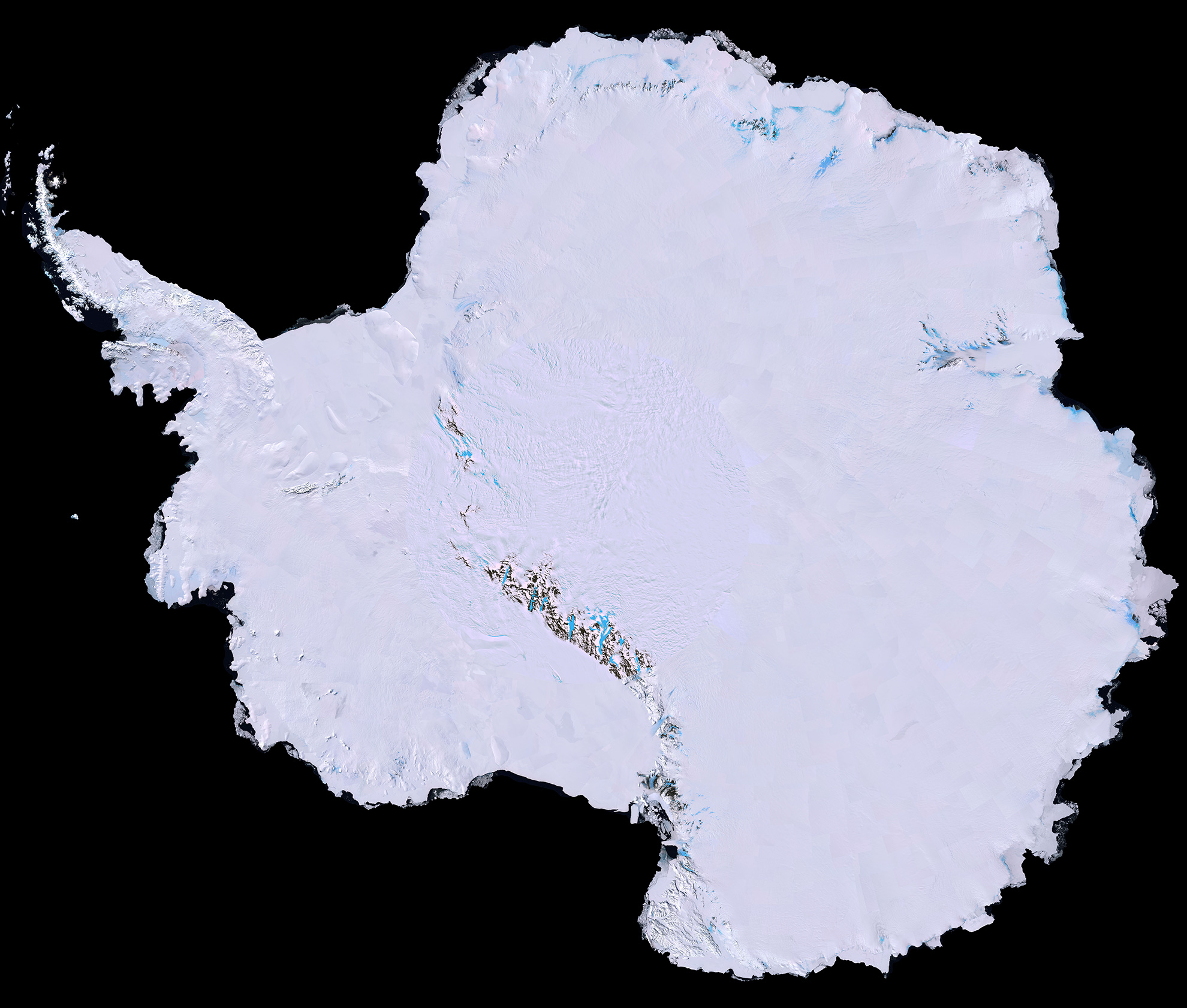
Tom Wagner: Ooh. I think that my flat-out favorite one is where we combined some Landsat images together to produce a map of Antarctica that showed amazing blue ice flowing around rocks, and you could actually see the deformation structures in the ice. It's also one of the areas where we found the meteorites that we think came from Mars, so there's a good planetary connection too. But, that's one of my favorites.
Jim Green: Indeed, from a planetary science perspective, Antarctica is just a fabulous place to look for meteorites. We go down there every summer, line up a series of snowmobiles, track across the glacier, and it's blinding white because of the reflected light off the snow, but [every now and then you see] these black areas, and you go to them and there's a meteorite. We tag them and bring them back, and sometimes, we'll bring anywhere from 600 to 900 back each season.
Tom Wagner: As they always said to me, if you're out in the middle of nowhere on the ice and you see a rock, you know it's a meteorite.
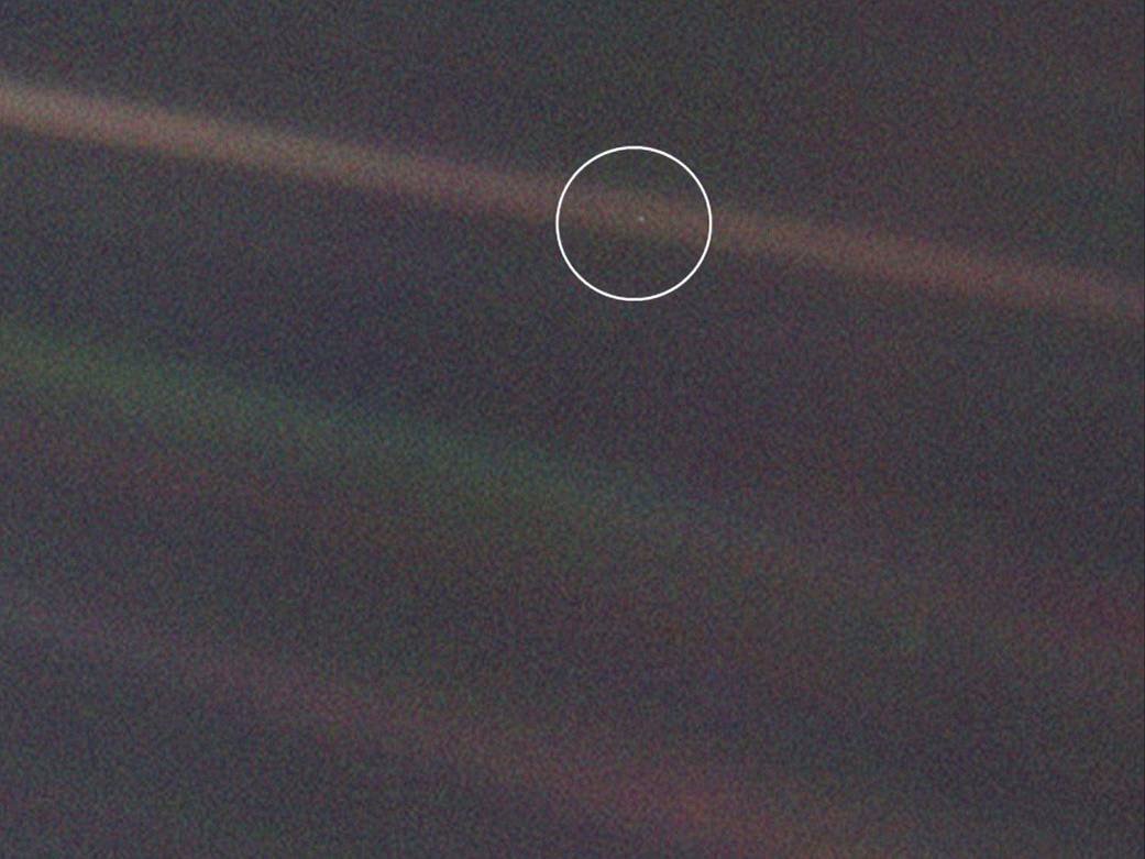
Jim Green: You know, one of the iconic pictures for me as a planetary scientist is the one that Carl Sagan had Voyager 1 do. It's called the Pale Blue Dot. Do you remember that?
Tom Wagner: Yes, and for me, that picture of the Earth, so tiny, so far away, it's really important for putting things in perspective. One of the things that I've always loved as a scientist and someone who's crossed into planetary science a little bit from Earth is the cosmic zoom idea, the idea that sometimes here on Earth, we can get narrowed down to looking even at nanoparticles and smaller things in any part of the Earth's system. But, you pull back sometimes and think about how, here we are as part of this kind of larger Galaxy and Universe and processes that happened in stars [that explode as] supernovae have even generated the little bits of iron that are in our body, and it's all connected.
Jim Green: One of the things that I ask each of my guests is what their "Gravity Assist" was — that activity or event that occurred that really propelled you to become the scientist you are today. So what was yours?
Tom Wagner: My mom says that, when I was a little kid, I grew up with rocks in my pockets, and she was always taking them out before she put them in the wash. I knew I wanted to be in science, I was the kind of kid that always had microscopes and slides and was doing things. But, I think really when I got to college and I took my first Earth sciences class in the 1980s, it was in that period where we were switching from an 'old school' kind of geology to 'new school' Earth processes, and I had a really great professor, Tim Lowenstein, who still teaches there, who was like, 'Hey, man, the Earth is this great big interconnected machine, and we're trying to understand it,' and that was really the thing that gave me my sort of pull to get into the field.
This story was provided by Astrobiology Magazine, a web-based publication sponsored by the NASA astrobiology program. This version of the story published on Space.com. Follow us @Spacedotcom, Facebook or Google+.
The National Aeronautics and Space Administration (NASA) is the U.S. government agency in charge of the civilian space program as well as aeronautics and aerospace research. Founded in 1958, NASA is a civilian space agency aimed at exploring the universe with space telescopes, satellites, robotic spacecraft, astronauts and more. The space agency has 10 major centers based across the U.S. and launches robotic and crewed missions from the Kennedy Space Center in Cape Canaveral Florida. Its astronaut corps is based at the Johnson Space Center in Houston. To follow NASA's latest mission, follow the space agency on Twitter or any other social channel, visit: nasa.gov.

