Photos: NASA's Phoenix Lander on Mars
Add us as a preferred source on Google
Subscribe to our newsletter
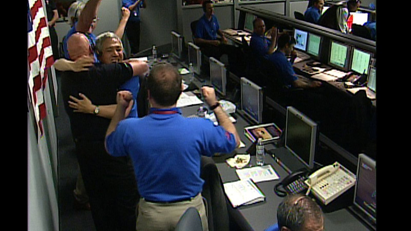
The Smile of Success
Phoenix team members celebrate the Phoenix landing on Mars, May 25, 2008.
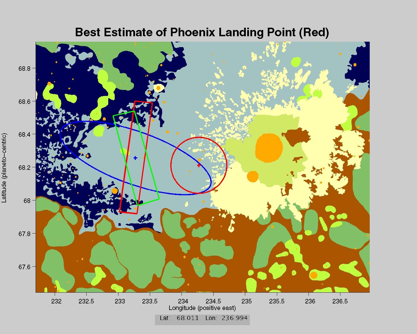
You Are Here
The center of the red circle on this map shows where NASA's Phoenix Mars Lander eased down to the surface of Mars, at approximately 68 degrees north latitude, 234 degrees east longitude. Engineers had predicted it would land within the blue ellipse. Phoenix touched down on the Red Planet at 4:53 p.m. Pacific Time (7:53 p.m. Eastern Time), May 25, 2008, in an arctic region called Vastitas Borealis.
Get the Space.com Newsletter
Breaking space news, the latest updates on rocket launches, skywatching events and more!
Tom Chao has contributed to SPACE.com as a producer and writer since 2000. As a writer and editor, he has worked for the Voyager Company, Time Inc. New Media, HarperCollins and Worth Publishers. He has a bachelor’s degree in Cinema Production from the University of Southern California, and a master’s degree from NYU’s Gallatin School of Individualized Study. To find out what his latest project is, you can follow Tom on Google+.
MORE FROM SPACE...


