


The story of water will play out in front of a new satellite mission launching tomorrow (Dec. 15).
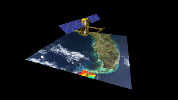
The Surface Water and Ocean Topography (SWOT) satellite aims to map Earth's water in unprecedented detail to help manage climate change, and to share data openly to assist communities with managing the precious resource. It launches aboard a SpaceX Falcon 9 rocket no earlier than 6:46 a.m. EST (1146 GMT) and we will run coverage here at Space.com.
"Let me tell you, SWOT is a game changer," Tahani Amer, a program executive in NASA's Earth science division, said during a livestreamed Nov. 14 NASA science briefing. Amer added that SWOT will work closely with other satellites to provide valuable context about water, while other missions focus on areas like the atmosphere or ice cover.
Related: 10 devastating signs of climate change satellites can see from space
NASA and France's space agency (CNES) are jointly leading the multi-agency effort. One crucial application will be better understanding carbon dioxide, a greenhouse gas, and its role in climate change, Katherine Calvin, NASA's chief scientist and senior climate advisor, said in a livestreamed Tuesday (Dec. 13) NASA briefing.
"Some of that carbon goes into the ocean, some goes onto land absorbed by trees, other [carbon] stays in the atmosphere," Calvin explained. "As it [Earth] gets warmer, the oceans are absorbing a lot of that heat. So a better understanding that mixing process of the ocean will help us understand how much more heat and carbon we can uptake. That's really important for understanding future climate change, and how activities by humans influence future climate change."
What makes SWOT distinct from water missions before it is three things: its global reach (which will especially help with assessing freshwater resources and ocean coastlines), its ability to detect small-scale but crucial ocean drivers at a resolution of less than 100 kilometers (62 miles), and the applications and data that will flow from the mission.
SWOT has a new measurement system on board named KaRIn, which stands for Ka-band Radar Interferometer. Ka-band is a part of the microwave spectrum of light and can collect data at high resolution, thanks to twin antennas positioned roughly 33 feet (10 meters) apart — about half the length of a tennis court, NASA officials say.
KaRIn sends radar pulses from one of the antennas that reflect off the surface of the Earth, and then both antennas work together to pick up the signal. The antennas' joint efforts allow scientists to map the surface water in two dimensions, as long as some key parameters are met.
At all times, scientists will need to know exactly how high the satellite is flying above Earth (which is an approximate 500 miles or 890 km). Precise positioning is provided through DORIS, the Doppler Orbitography and Radiopositioning Integrated by Satellite instrument. DORIS will do its job by collecting signals from as many as 60 radio beacons on the ground.
Also on board are an X-band radio communications system to send the data back to scientists, a radiometer to correct for the delay in receiving signals from moving water, a traditional altimeter, and a thermal management system to keep the satellite stable in the extreme heat and cold of space.
In photos: Iconic images of Earth from space
From the Congo Basin to the north of Canada where Indigenous populations live, SWOT aims to provide community-focused solutions to climate change through the open data.
"SWOT is going to provide really relevant information for all these communities, all these people living in these different places and allow us to make measurements that ultimately improve their lives and livelihoods," Benjamin Hamlington, research scientist in the sea level and ice group at NASA's Jet Propulsion Laboratory, said in a Dec. 13 briefing.
Climate change is causing different effects across the world, with some people seeing far too little water and some seeing far too much, he said. Large rivers such as the Connecticut River, which flows across several northeastern states in the U.S., will see their full water levels measured simultaneously along with any changes.
Hamlington emphasized communities won't be on their own with the data, as expertise is available in the form of water resource managers, emergency preparedness agencies and civil engineers.
"We're not just providing the data but encouraging people to use it, interact with it and start to implement it within their applications," he added, with "early adopters" including communities in India and Germany who will help NASA better adjust data gathering when the mission finishes its months-long commissioning phase in 2023.
Elizabeth Howell is the co-author of "Why Am I Taller?" (ECW Press, 2022; with Canadian astronaut Dave Williams), a book about space medicine. Follow her on Twitter @howellspace. Follow us on Twitter @Spacedotcom or Facebook.
