
Atlantic hurricane season begins today (June 1), and several new weather satellites will collect valuable data to improve hurricane forecasting this year.
Hurricanes, also called tropical cyclones, are large, rotating storms that form when water from the surface of the ocean in the tropics evaporates and condenses to form clouds and rain. Satellites provide vital data on current weather conditions, allowing meteorologists to predict the path and severity of these storms more accurately.
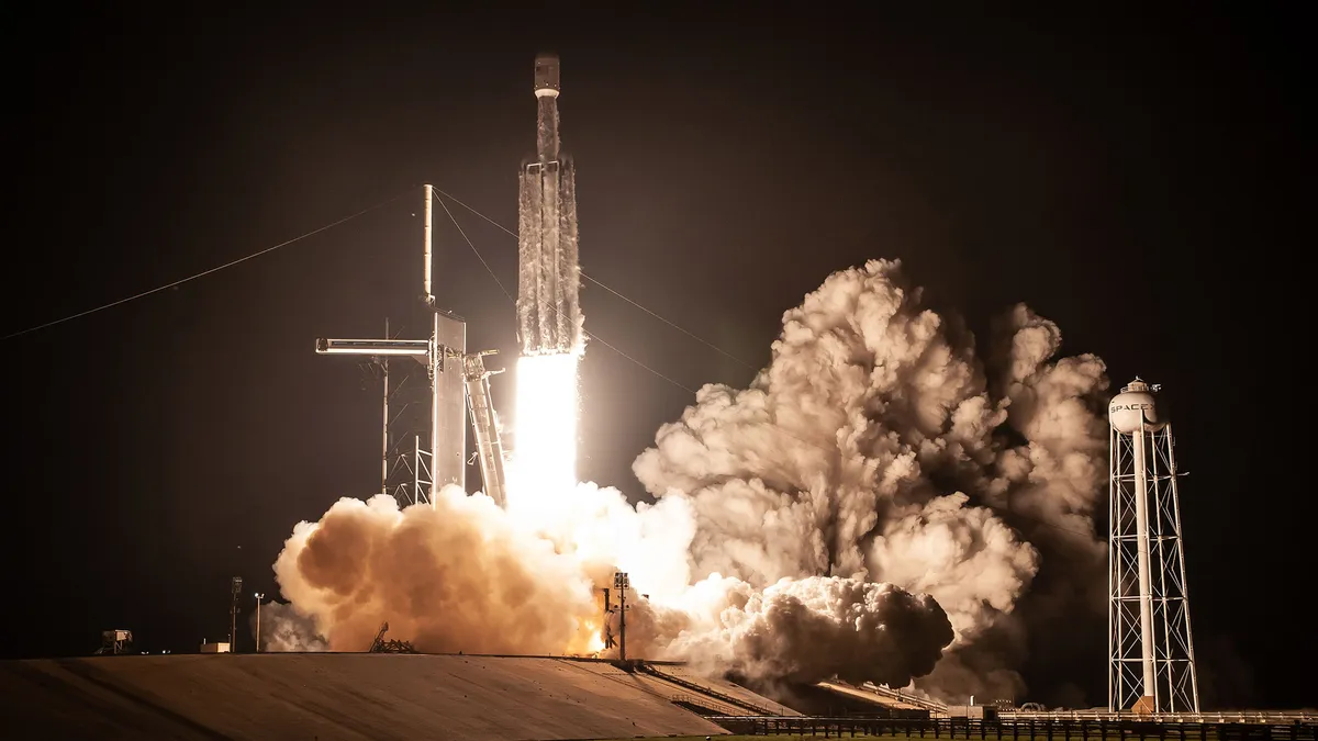
Several recently launched satellites are providing more accurate data than ever, including the satellites of COSMIC-2, which launched in 2019. TROPICS, a network of six small satellites, will also launch in the next few months.
Related: Expect another above-average hurricane season in 2022, NOAA predicts
"We expect to have significant forecast improvement when we assimilate the data" from TROPICS, William Blackwell, an associate group leader at the Massachusetts Institute of Technology Lincoln Laboratory and the overall lead for the project, told Space.com.
Around 160 satellites currently collect data on Earth's weather and atmosphere and beam that information back to us. Those include satellites operated by the National Oceanic and Atmospheric Administration (NOAA), like the GOES series, and by NASA, such as the Global Precipitation Measurement Mission, among others.
"There's a whole list of things that could be used for tropical storm measurements," Blackwell said.
A recent addition is the Constellation Observing System for Meteorology, Ionosphere, and Climate-2 (COSMIC-2), which is jointly run by NOAA, other U.S. agencies and Taiwan's National Space Organization. An update to the original COSMIC satellites first launched in 2006, the project's six satellites were launched on June 25, 2019.
The COSMIC-2 satellites rely on other satellites never intended to be used for weather observation: Global Positioning System (GPS) satellites orbiting high above Earth's atmosphere. GPS satellites send out radio waves, which GPS systems use to determine location. The radio waves bend slightly when they enter the atmosphere, and COSMIC-2 can use data on how much those waves bend to get information on the temperature, pressure and humidity of the atmosphere.
Information needed to predict the path and severity of the storm is "keyed off the temperature and the moisture around the storm," Blackwell said.
Though the COSMIC-2 satellites launched in 2019, it took 18 months of gradual correction for them to reach their exact intended orbits. The satellites underwent a series of software updates and reviews before being declared fully operational in October 2021.
The TROPICS mission, which is run by NASA in collaboration with several universities and private companies, will also involve six satellites. The satellites will measure microwaves, which are emitted and absorbed differently by different substances in the atmosphere; oxygen, for instance, absorbs microwaves at a different frequency than water vapor. The satellites use this method to collect accurate information on the temperature and moisture conditions around storms, particularly in the tropics, where hurricanes develop.
This method of measurement isn't new; NOAA launched similar technology into orbit in 1979, Blackwell said. The major difference is that the TROPICS satellites will be much more efficient, taking many more measurements of the same storms throughout the day. A 2021 study found that this increased frequency would have a notable impact on the accuracy of hurricane prediction.
Although TROPICS launches are planned to begin in June, the TROPICS "qualification unit," which was used to test the satellites' design, was launched last June. The mission's main six satellites will be launched in pairs in the coming months. Blackwell said the goal is to get them all up and working by the peak of Atlantic hurricane season. Though the satellites will start collecting data almost immediately, scientists will need another couple of months to optimize the technology from Earth, Blackwell said.
Research shows that climate change will likely increase the intensity of hurricanes, according to the Center for Climate and Energy Solutions. The goal of TROPICS, Blackwell said, is to better simulate how the environment of the tropics affects the paths and intensities of hurricanes, as that information could become increasingly crucial.
"If you ask the question of all the measurements that feed … weather prediction models, which ones give the biggest impact," Blackwell said, "the answer to that question is the microwaves."
Follow us on Twitter @Spacedotcom and on Facebook.
