In Photos: Hawaii's Kilauea Volcano Eruption as Seen from Space
Breaking space news, the latest updates on rocket launches, skywatching events and more!
You are now subscribed
Your newsletter sign-up was successful
Want to add more newsletters?

Delivered daily
Daily Newsletter
Breaking space news, the latest updates on rocket launches, skywatching events and more!

Once a month
Watch This Space
Sign up to our monthly entertainment newsletter to keep up with all our coverage of the latest sci-fi and space movies, tv shows, games and books.

Once a week
Night Sky This Week
Discover this week's must-see night sky events, moon phases, and stunning astrophotos. Sign up for our skywatching newsletter and explore the universe with us!

Twice a month
Strange New Words
Space.com's Sci-Fi Reader's Club. Read a sci-fi short story every month and join a virtual community of fellow science fiction fans!
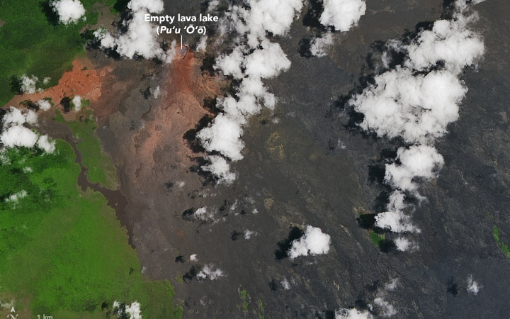
Another View on Kilauea
Kilauea Continues to Erupt May 14, 2018
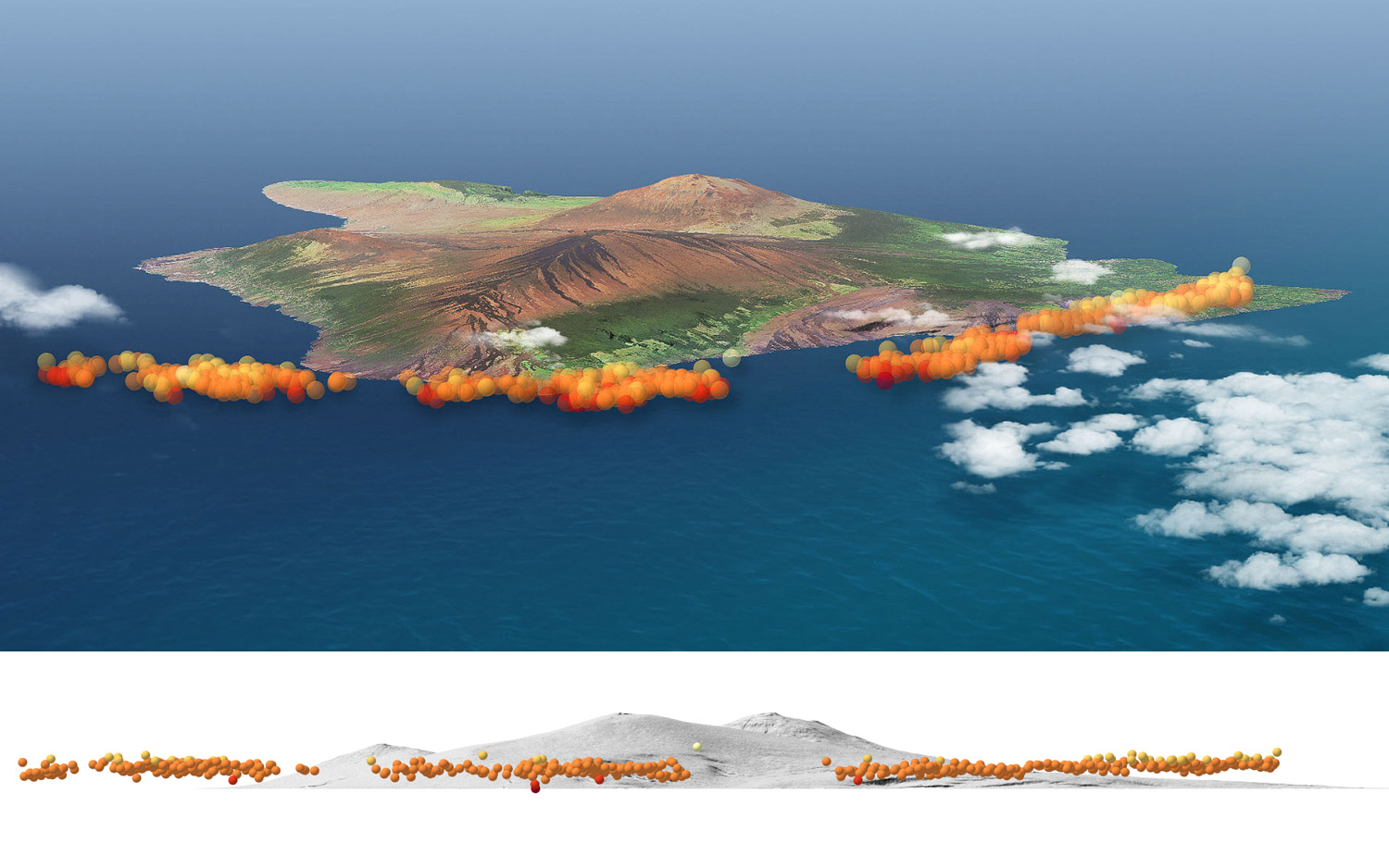
Probing Kilauea's Plume
This 3-D image of Kilauea's ash plume was created by using satellite data to track the ash as it rises from the volcano.
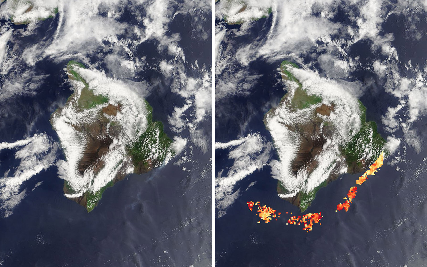
A Hot Plume
Infrared sensors on satellites in space track the heat from Kilauea's ash plume.
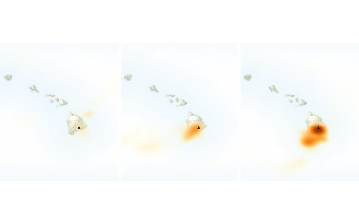
Sulfur Dioxide Leaks from Kilauea
This satellite map shows sulfur dioxide levels from Kilauea's eruption.
Breaking space news, the latest updates on rocket launches, skywatching events and more!

Sarah Lewin started writing for Space.com in June of 2015 as a Staff Writer and became Associate Editor in 2019 . Her work has been featured by Scientific American, IEEE Spectrum, Quanta Magazine, Wired, The Scientist, Science Friday and WGBH's Inside NOVA. Sarah has an MA from NYU's Science, Health and Environmental Reporting Program and an AB in mathematics from Brown University. When not writing, reading or thinking about space, Sarah enjoys musical theatre and mathematical papercraft. She is currently Assistant News Editor at Scientific American. You can follow her on Twitter @SarahExplains.


