Midwest Is 'Space Storm Alley,' Map Reveals

Power outages are often triggered by storms, and certain regions are more vulnerable to certain kinds of storms. Hurricanes threaten the Gulf Coast, ice storms menace New England and Tornado Alley, of course, earned that name for a reason.
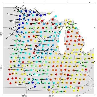
Now comes word that power grids in certain regions of the upper Midwest are uniquely vulnerable to space storms — torrents of charged particles from the Sun that can short-circuit entire electrical networks. In fact, scientists working with the U.S. Geological Survey (USGS) have created a set of detailed geoelectric hazard maps, designed to predict where such storms are likely to be most severe.
RELATED: What Will Happen When Earth's Magnetic Poles Reverse?
The new research — published last week in Geophysical Review Letters — is informed by years of survey data from both above and below. According to a helpful breakdown over at Science magazine, the strength of geoelectric storms is determined by complex interactions between space weather, the Earth's magnetic field, and the conductivity of particular rocks in the Earth's crust.
WATCH VIDEO: Big Game Blackout: The Power Grid Explained
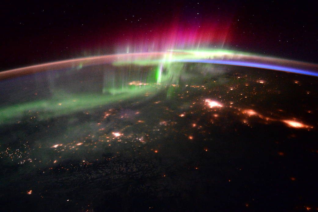
It works like this: When charged material ejected from the sun comes our way, it sends electrical currents that flow through the planet's surface. Our donut-shaped magnetic field deflects some of this, but the rest travels toward the ground near Earth's magnetic poles. A power grid closer to these poles is more likely to experience trouble during a geoelectric storm.
But the severity of the problems is also determined by local geology, in that some areas of the Earth's crust are more conductive than others. In the U.S., the upper Midwest region is dominated by two kinds of rock that together facilitate strong, local electrical currents during space storms.
Breaking space news, the latest updates on rocket launches, skywatching events and more!
The new mapping data crunches the numbers from earth and sky, providing critical information that can help utility companies defend against space storms. It was a team effort, to be sure: The new maps are based on survey data collected by the National Science Foundation's (NSF) EarthScope Program and the USGS, plus observatory data collected by the USGS and the worldwide INTERMAGNET consortium.
RELATED: Metal 'Snow' May Power Earth's Magnetic Field
It's serious business, too. According to the USGS report, a severe geomagnetic storm could disrupt the nation's power grid for months, potentially leading to widespread blackouts. Resulting damage could cost more than $1 trillion.
Originally published on Discovery News.
Based in Chapel Hill, North Carolina, Glenn McDonald is a freelance arts and science writer, editor, and game designer. With a Bachelor of Arts degree in English with minors in film, theater and religious studies from Michigan State University, his many interests include science, technology, arts, culture, movies, and television. You can find his writing in publications such as National Geographic all the way to Goodreads.

