Earth Pictures From Space: Landsat Satellite Legacy
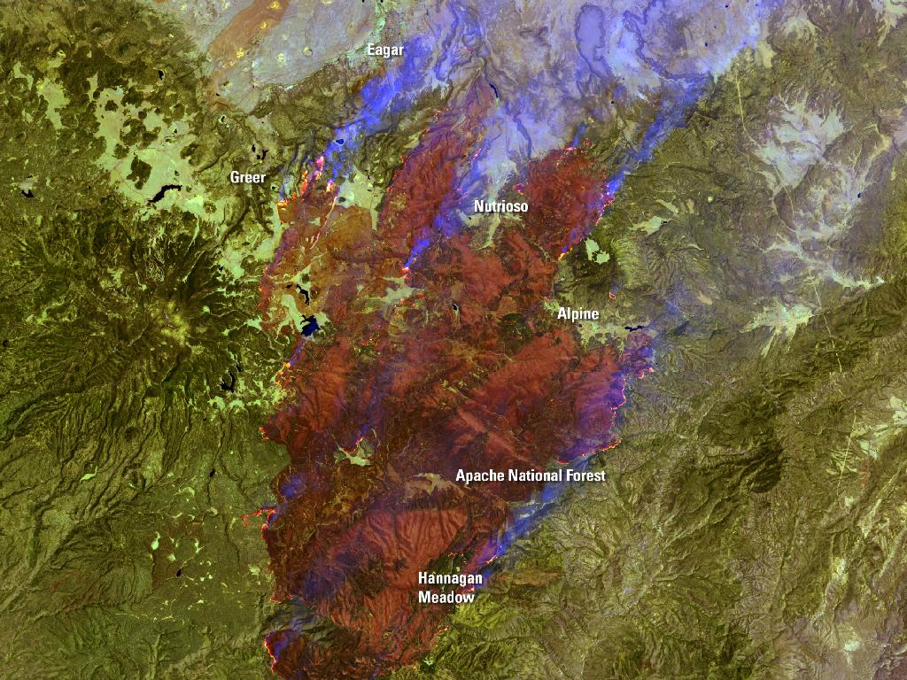
Landsat 7 Sees Smoke from Raging Arizona Wallow Fire
Burning in the mountains of eastern Arizona near the border with New Mexico, the Wallow Fire has become the second largest fire in Arizona history. Starting on May 29, winds and hot, dry conditions helped the fire grow quickly, burning approximately 389,000 acres when the Landsat 7 image above was acquired. The dense plume of smoke pouring north from the massive fire affected air quality as far north as Wyoming and as far east as Georgia.
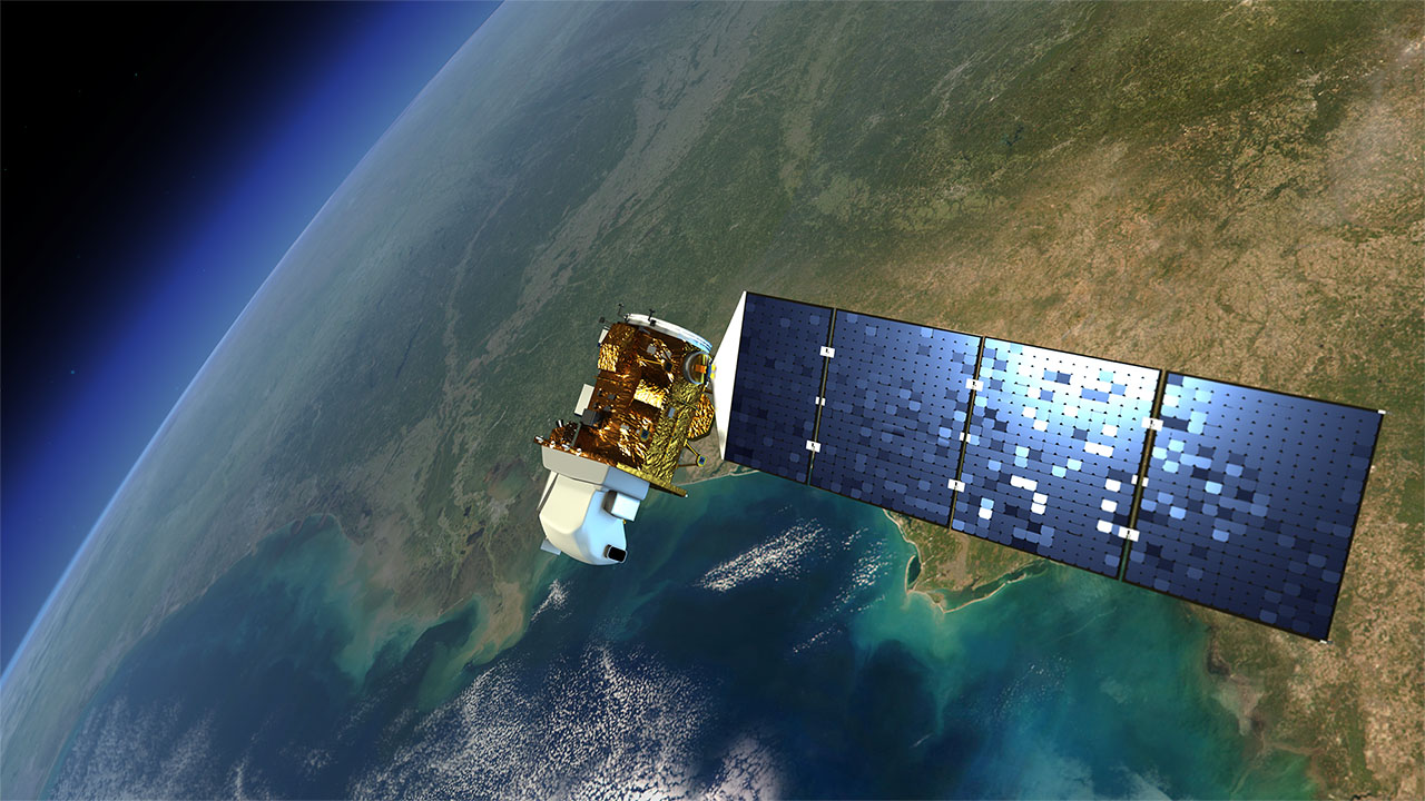
Landsat Data Continuity Mission
An artist's rendition of the next Landsat satellite, the Landsat Data Continuity Mission (LDCM) that will launch in Feb. 2013
Breaking space news, the latest updates on rocket launches, skywatching events and more!

Space.com is the premier source of space exploration, innovation and astronomy news, chronicling (and celebrating) humanity's ongoing expansion across the final frontier. Originally founded in 1999, Space.com is, and always has been, the passion of writers and editors who are space fans and also trained journalists. Our current news team consists of Editor-in-Chief Tariq Malik; Editor Hanneke Weitering, Senior Space Writer Mike Wall; Senior Writer Meghan Bartels; Senior Writer Chelsea Gohd, Senior Writer Tereza Pultarova and Staff Writer Alexander Cox, focusing on e-commerce. Senior Producer Steve Spaleta oversees our space videos, with Diana Whitcroft as our Social Media Editor.


