Examining coastal sea rise, tracking underwater ocean waves and adding to long-term data about climate change will be the main scientific return of the Sentinel-6 Michael Freilich satellite mission, officials said in a press conference.
The satellite is expected to launch Nov. 10 on a SpaceX Falcon 9 rocket from Cape Canaveral Air Force Station in Florida. For now, spacecraft personnel expect SpaceX will be able to resolve a rocket gas generator issue that stopped a GPS satellite launch for the U.S. Air Force aboard another Falcon 9 on Oct. 2, Tim Dunn, launch director of NASA's launch services program, said in a virtual press conference broadcast Oct. 16 on NASA Television.
"As of today we have a path forward that allows us to do any necessary rework that would be required and maintain that Nov. 10 launch date," Dunn added.
Related: The top 10 views of Earth from space
Once Sentinel-6 reaches orbit, it will join a fast-growing network of Earth observation satellites from multiple space agencies that frequently work together to track weather and climate change. This new satellite is a collaborative mission principally between the European Space Agency (ESA), NASA, the U.S. National Oceanic and Atmospheric Administration (NOAA) and the European Organisation for the Exploitation of Meteorological Satellites (EUMETSAT).
One of the mission's scientific instruments is a high-precision altimeter that can measure changes in the height of the ocean's surface to a resolution of only 0.75 inches (2 centimeters). By tracking such tiny changes at the surface, scientists can get a better idea of underwater ocean currents that are many feet or meters in height and that drive heat and energy around the world through the oceans. Overall sea levels around the world are rising roughly 0.19 inches (4.8 millimeters) a year — up from 0.12 inches (3.1 mm) a year in the 1990s, said Josef Aschbacher, ESA's director of Earth observation, during the news conference.
Sentinel-6's precision measurements of sea levels will be crucial to understanding what phenomena are causing rises in certain areas, added Karen St. Germain, NASA's director of the Earth science division; for example, ice melting from glaciers or overall ocean warming that causes water to expand as it heats up.
"The Earth is a global system of intricate and dynamic interactions between oceans, land, ice, the atmosphere and also human communities, and that global system is changing," St. Germain said. "Increasingly, decision makers in the public sector and the private sector at all levels are turning to the Earth science community to understand those changes to inform, frankly, both the risks and the opportunities about which they have to make crucial decisions."
While St. Germain did not specify what those decisions would be, countries around the world working to develop strategies to reduce the effects of climate change as coastal areas become more prone to flooding, hurricanes and overall sea rise, among other effects. Discussions about how to respond to climate change impacts often center on aspects such as reducing carbon monoxide emissions from vehicles or factories, or increasing investments in renewable energy to reduce the use of oil, gas and other polluting products.
Sentinel-6 will also contribute to the decades-long record of multiple satellites working together to track global warming, St. Germain said. "It's often when we use the observations from the altimeter, in combination with other satellites, that we unleash the power," she added.
For example, combining the altimeter observations from Sentinel-6 with global measurements of Earth's gravity (which varies slightly due to factors such as local rock density) can show the specific cause of a local sea level rise, she said.
Alternatively, pairing Sentinel-6 with a satellite that uses synthetic aperture radar, which can track changing land usage, will show how coastal communities are changing. Or, by pairing it with weather satellites, scientists will be able to see where rapid intensification of hurricanes is likely to happen, she said, by identifying areas where columns of sea water expand and create bulges on the surface.
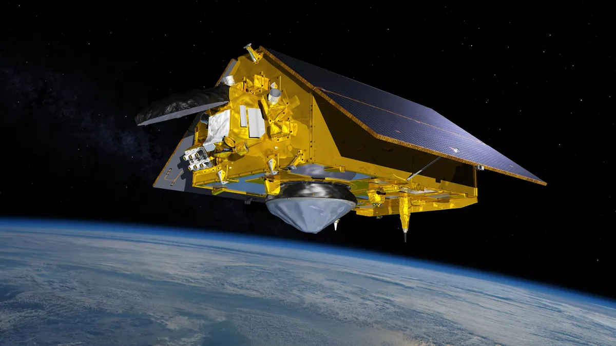
Sentinel-6 will circle Earth at an inclination of 66 degrees at an altitude of roughly 830 miles (1330 kilometers), said Parag Vaze, the mission's project manager at NASA's Jet Propulsion Laboratory, in the same conference. Its ground track will allow scientists to build a complete map of the world's ocean every 10 days and the mission is scheduled to last for 5 years. A second satellite is expected to join Sentinel-6 in 2025 to enhance measurements and to bring the science mission forward into the 2030s, he said.
"Understanding the acceleration [in sea rise] is important for the future, and is done through precise and stable measurements," he added.
Follow Elizabeth Howell on Twitter @howellspace. Follow us on Twitter @Spacedotcom and on Facebook.
