
Monkey-Mapping Satellites Could Identify At-Risk Populations
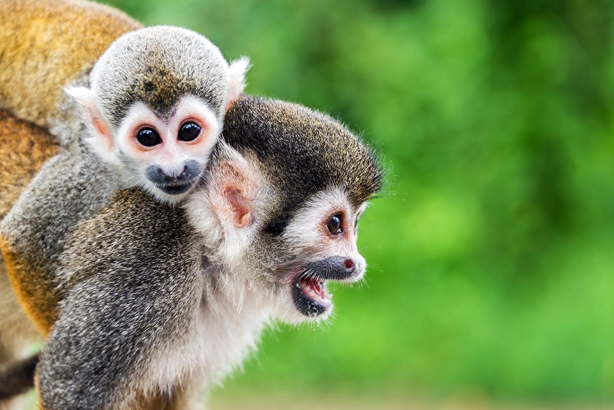
In the Amazon rainforests that are home to hundreds of known species of monkeys — and likely more that have yet to be discovered — it can be extremely difficult for conservationists to track their numbers and monitor how they are affected by human activities such as hunting and deforestation.
However, scientists proposed in a recent study that a diverse range of technologies, including satellites, can combine with observations on the ground to give a more accurate picture of biodiversity among monkeys and other animals in hard-to-access habitats.
Most satellites can't directly detect the activities and numbers of small animals living in dense forests. But together with DNA evidence, field reports, and audio and visual records, they could help researchers identify monkey populations that are declining or at risk, the study authors reported. [25 Strangest Sights on Google Earth]
Scientists typically approximate the presence and number of monkeys in a given area though first-hand observations and recordings, such as those obtained by camera traps. But other indirect sources can also provide clues about animals in a habitat — DNA extracted from feces, urine or saliva can hint at local diversity, and so can blood ingested by mosquitoes, according to the study.
These DNA-based methods provide another missing piece of the biodiversity puzzle, but observations from the sky can also determine whether certain animal populations have declined over time, the researchers wrote.
In forests, tree species that take up more of the greenhouse gas carbon dioxide (which they use for photosynthesis) than other trees typically produce larger seeds. Those seeds are primarily dispersed by monkeys. Satellite data could show whether regions where human activity is high and monkeys are exposed to hunting — and where their numbers may have been dropping — correspond to forests where there are fewer of these high-carbon-density tree species; the primary seed disperser would not be available to spread these species, the researchers speculated.
"In short, by combining Earth-observation-derived maps of human activity with empirical observations of the response of primate populations to that activity, it should be possible to map and track an ecosystem function (large-seed dispersal) that is invisible to satellites but contributes to an important ecosystem service (climate regulation)," the study authors wrote.
These methods can be applied not only to monkey populations, but to a variety of wildlife, the researchers explained.
"With the parallel developments in remote sensing, genomics and more automated field recording, we now have the tools needed to collect data at large scales," study lead author Alex Bush, a researcher with the Kunming Institute of Zoology at the Chinese Academy of Sciences, said in a statement.
The findings were published online June 22 in the journal Nature Ecology and Evolution.
Original article on Live Science.
