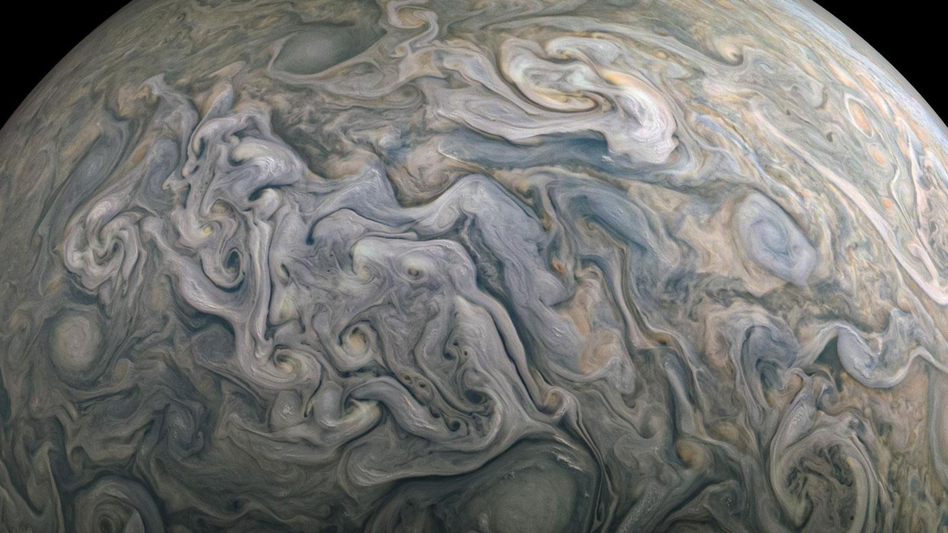
Astronauts Eye Hurricane Bill
From space, fury is beauty.
The spiral bands of Hurricane Bill in the Atlantic Oceanfill the view of a new image by Expedition 20 crewmembers on the International SpaceStation.
The picture looks east-southeastward along the horizon asthe space station flies 220 miles (354 km) above the Earth.
It was taken on Aug. 18, 2009 when the storm was centered at15.9 degrees north latitude and 51.2 degrees west longitude.
Bill is expected to stay offshore as it curves north andthen eastward along the eastern coast of North America, according to the latestupdate from the National Hurricane Center. The route is a typicalone for hurricanes.
Midday Friday, Bill had sustained winds of 115 mph near itscenter. It is a large storm, with hurricane-force winds extending out 115 milesfrom the center.
- Video - Space Station?s View of Hurricane Bertha
- Image Gallery - Hurricane Fury
- The Greatest Hurricanes in History
Breaking space news, the latest updates on rocket launches, skywatching events and more!

Space.com is the premier source of space exploration, innovation and astronomy news, chronicling (and celebrating) humanity's ongoing expansion across the final frontier. Originally founded in 1999, Space.com is, and always has been, the passion of writers and editors who are space fans and also trained journalists. Our current news team consists of Editor-in-Chief Tariq Malik; Editor Hanneke Weitering, Senior Space Writer Mike Wall; Senior Writer Meghan Bartels; Senior Writer Chelsea Gohd, Senior Writer Tereza Pultarova and Staff Writer Alexander Cox, focusing on e-commerce. Senior Producer Steve Spaleta oversees our space videos, with Diana Whitcroft as our Social Media Editor.
