Rainbow-colored terrain images from a European Mars satellite helped make Curiosity's touchdown last week the most precise landing on the Red Planet yet.
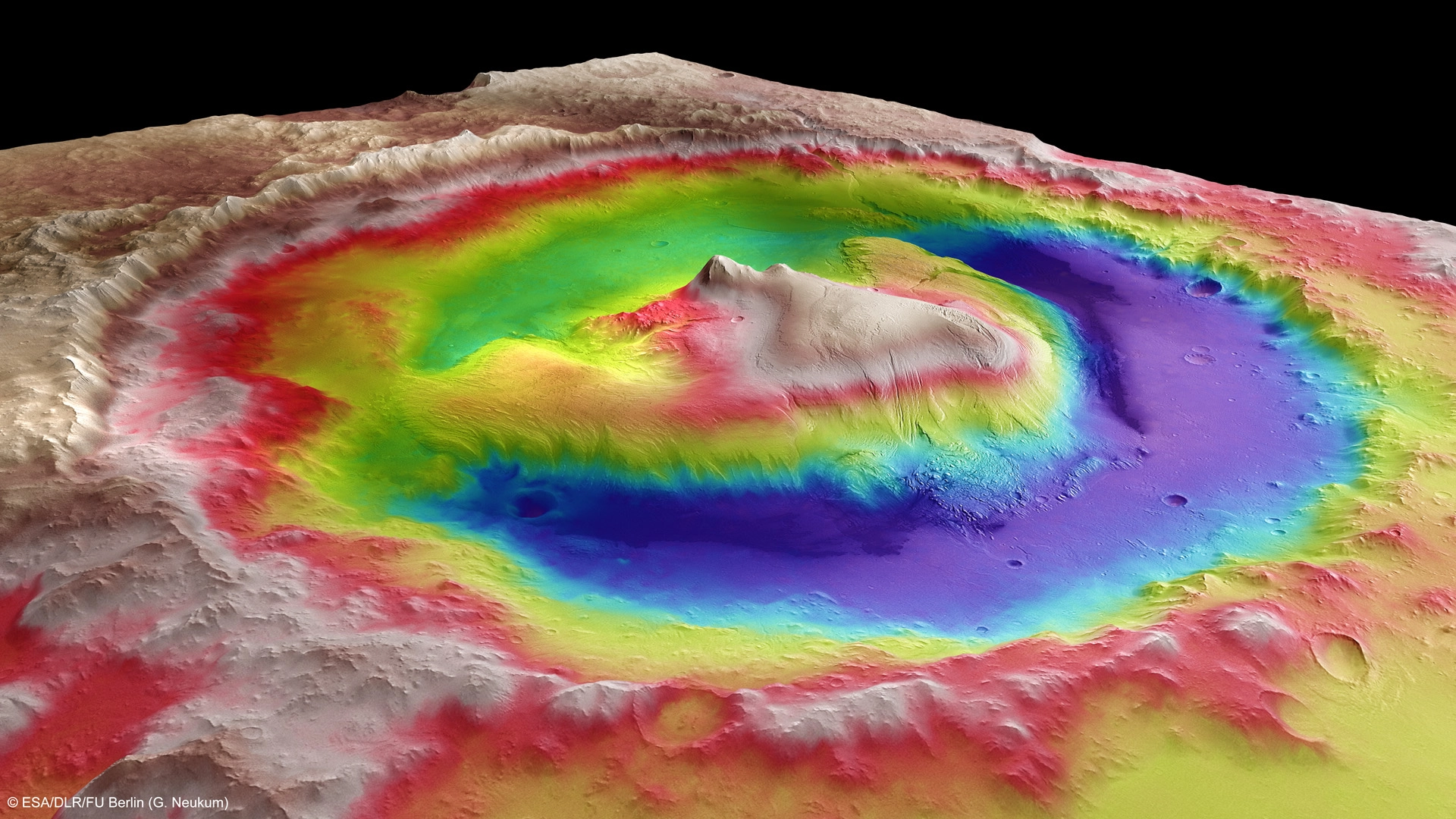
The satellite, Mars Express, was launched by the European Space Agency (ESA) in June 2003 and arrived in Mars orbit in December 2003. Its High Resolution Stereo Camera (HRSC) can produce color-coded images based on a digital terrain model and it has a resolution of nearly 330 feet (100 meters) per pixel. Such pictures provide crucial elevation data about the Martian landscape, which allowed space officials to shrink Curiosity's landing target.
Curiosity had been shooting for a 12-by-15-mile (20-by-25-kilometer) ellipse-shaped landing zone — already much smaller than the target area for any previous Mars mission. But with elevation data from Mars Express, as well as information from NASA's Mars Reconnaissance Orbiter and Viking Orbiter, engineers narrowed Curiosity's landing target to a 4-by-12-mile (7-by-20-kilometer) ellipse, ESA officials said.
Preliminary studies show that the 1-ton robot touched down just about 1.5 miles (2.4 km) from the dead center of this target when it arrived at Mars' Gale Crater the night of Aug. 5.
Curiosity eventually will begin its trek toward Mount Sharp, which rises 3 miles (5 km) from the center of Gale Crater. Mars orbiters have detected minerals near Mount Sharp's base that only form in water. So some of its lower layers might tell of a lake within Gale Crater long ago, or they might indicate wind-delivered sediments later soaked by groundwater, researchers say.
Follow SPACE.com on Twitter @Spacedotcom. We're also on Facebook and Google+.
