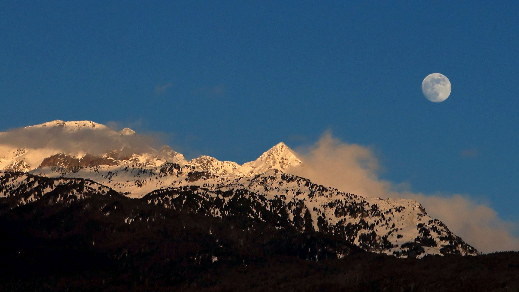
'Earth as Art': Voters Pick Favorite NASA Satellite Image

Earth's oldest continuous land-observing satellite system is turning 40, and to celebrate, the federal agencies that run the program allowed voters to pick their favorite images from a smorgasbord of dazzling shots taken over the decades.
The Landsat Project, a joint venture between NASA and the U.S. Geological Survey (USGS), has been monitoring changes in the Earth's surface since July 1972, when its first Earth-observing satellite was blasted into space.
The program marked the first attempt to use satellites to peer beyond Earth's roiling clouds to the land below.
NASA and the USGS asked the public to choose their favorite images from more than 120 images the Landsat Program has sent back to Earth over the years. After receiving 14,000 responses, the agencies have posted the top five winning images.
Over the decades, Landsat has proved an invaluable tool, capturing large-scale images that allowed scientists and officials to monitor the creep of urban sprawl, changes in forest cover or the long-term after effects of natural disasters, to name just a few of its uses.
"It was the granddaddy of them all, as far as starting the trend of repetitive, calibrated observations of the Earth at a spatial resolution where one can detect man's interaction with the environment,” Darrel Williams, the Landsat 7 project scientist, said in a statement on the NASA website dedicated to the program.
This article was provided by OurAmazingPlanet, a sister site of SPACE.com. Follow OurAmazingPlanet for the latest in Earth science and exploration news on Twitter @OAPlanet. We're also on Facebook & Google+.
Breaking space news, the latest updates on rocket launches, skywatching events and more!
OurAmazingPlanet was founded in 2010 by TechMediaNetwork, which owned Space.com at the time. OurAmazingPlanet was dedicated to celebrating Earth and the mysteries still to be answered in its ecosystems, from the top of the world to the bottom of the sea. The website published stories until 2017, and was incorporated into LiveScience's Earth section.

