The U.S. and France plan to launch a new satellite Friday to study rising sea levels on Earth.
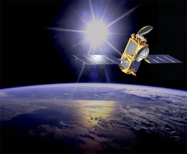
The Jason2 spacecraft is due to embark on an Ocean Surface Topography Mission(OSTM) to research changes in Earth's oceans and their linksto global climate change.
The satellite is slated to launch June 20at around 3:46 a.m. EDT atop a Delta 2 rocket fromVandenberg Air Force Base in California.
"I'm really happy to say the spacecraft is on the pad?andready to go," said Parag Vaze, OSTM/Jason 2 Project Manager. "We'rejust waiting for the 20th to come along now."
NASA weather forecasters predict a mostly favorable forecastfor the first launch attempt, and currently give the mission an 80 percentchance of launching on the first try.
The $433million spacecraft is intended to pursue a joint mission along with the Jason 1 satellite already on orbit. That craft was launched in 2001and has been monitoring Earth's seas ever since. Together the two satellites shouldbe able to cover twice the area that Jason 1 could while operating alone.
Global sea levels have been rising about 0.12inches (3 millimeters) per year since 1993, according to NASA. Scientists thinkthese changes are largely due to the recent warming of the planet and of theseas, since warmer water takes up a larger volume. Melting land ice has also contributedto rising ocean levels, scientists said.
"The key objective of this mission is to measure thesea surface height on a global basis and of course to do it very, very accurately,"said Parag Vaze, OSTM/Jason 2 Project Manager.
The spacecraft is designed to use onboardinstruments to fire small pulses of light down to Earth and measure the timeit takes for them to return, to deduce the distance between the satellite andthe ocean surface to within a few centimeters.
"This is really quite a feat of engineering," saidEric Lindstrom, OSTM/Jason 2 program scientist. "Think about measuring thethickness of pieces of paper lying on the ground from the top of skyscrapers. It'spretty amazing stuff."
By creating a topographical map of Earth's oceans in thisway, the spacecraft aims to gather data about global sea levels, the speed anddirection of ocean currents and the heat stored in the ocean. The data couldalso be used to improve the accuracy of hurricane predictions, according to theNational Oceanic and Atmospheric Administration (NOAA).
"This clearly is an important step forward in ourability to forecast hurricanes," said Laury Miller, chief scientist at theNOAA Laboratory for Satellite Altimetry.
Jason 2 is a collaboration between NASA and the French SpaceAgency (CNES), as well as NOAA and the European Meteorological Satellite Organization(EUMETSAT).
- Video: Japan's Kaguya Catches Full Earthrise
- The Top 10 Views of Earth From Space
- Images: Landsat Captures Earth as Art
