Antarctic sea ice at record low in February, satellite data reveal
Antarctic sea ice is highly variable.

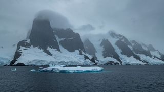
Antarctic sea-ice coverage was at a record low in February, satellite images have revealed.
However, the amount of Antarctic sea ice varies considerably each year and climate change is not necessarily to blame.
On Feb. 25, sea-ice extent — a measurement of the ocean's sea ice — around Antarctica shrank to less than 772,000 square miles (2 million square kilometers) for the first time since scientists began recording it in 1979, the National Snow and Ice Data Center (NSIDC) announced March 8.
While warming global temperatures may be a factor, Antarctic sea ice is highly variable. The shrinking is likely natural, and partly due to strong winds pushing some sea ice farther north into warmer waters, Nature reported. "I think much, if not all, of the event can be ascribed to natural variability," Walt Meier, a senior research scientist at the NSIDC, told Nature.
Sea ice is frozen seawater that floats on the surface of the ocean. Unlike icebergs and other ice formations that break away from land, sea ice forms on the ocean and is usually covered in snow, according to the NSIDC. The new data captured the annual late-summer minimum sea-ice extent, which gives a measurement of the area of ocean that has sea ice when coverage is at its lowest for the year after the ice melts in the Southern Hemisphere summer.
Related: 8 famous Antarctic expeditions
Antarctic sea ice varies considerably from year to year, and the NSIDC has not found a statistically significant trend in one direction or another using satellite data. This year was the lowest minimum sea-ice extent on record, but the highest minimum sea-ice extent was recorded in 2015.
Get the Space.com Newsletter
Breaking space news, the latest updates on rocket launches, skywatching events and more!
Antarctica is surrounded by water, and wind and ocean currents isolate the continent from weather patterns elsewhere on Earth, according to the NSIDC. The Arctic, in contrast, is surrounded by land and is better connected to other climate systems. Arctic sea-ice extent is, therefore, more important for deciphering global climate trends and highlighting the warming impact of climate change.
Satellite images of the Arctic show a clear, linear sea-ice decline over the past 44 years. A comparison of satellite records from February 1979 and February 2022 showed that Arctic sea-ice extent has declined by 703,000 square miles (1.82 million square km), according to the latest NSIDC data. That's more ice than there is land in Alaska, which has 586,000 square miles (1.5 million square km) of land, according to Alaska's official state website.
Originally published on Live Science.
Join our Space Forums to keep talking space on the latest missions, night sky and more! And if you have a news tip, correction or comment, let us know at: community@space.com.

