The Lyrid meteor shower peaks this weekend, but don't expect much this year
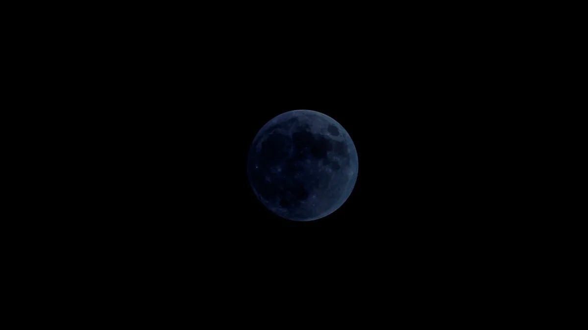
The annual Lyrid meteor shower peaks overnight on April 21-22, but unfortunately a bright moon will make it difficult to spot any 'shooting stars' this year.
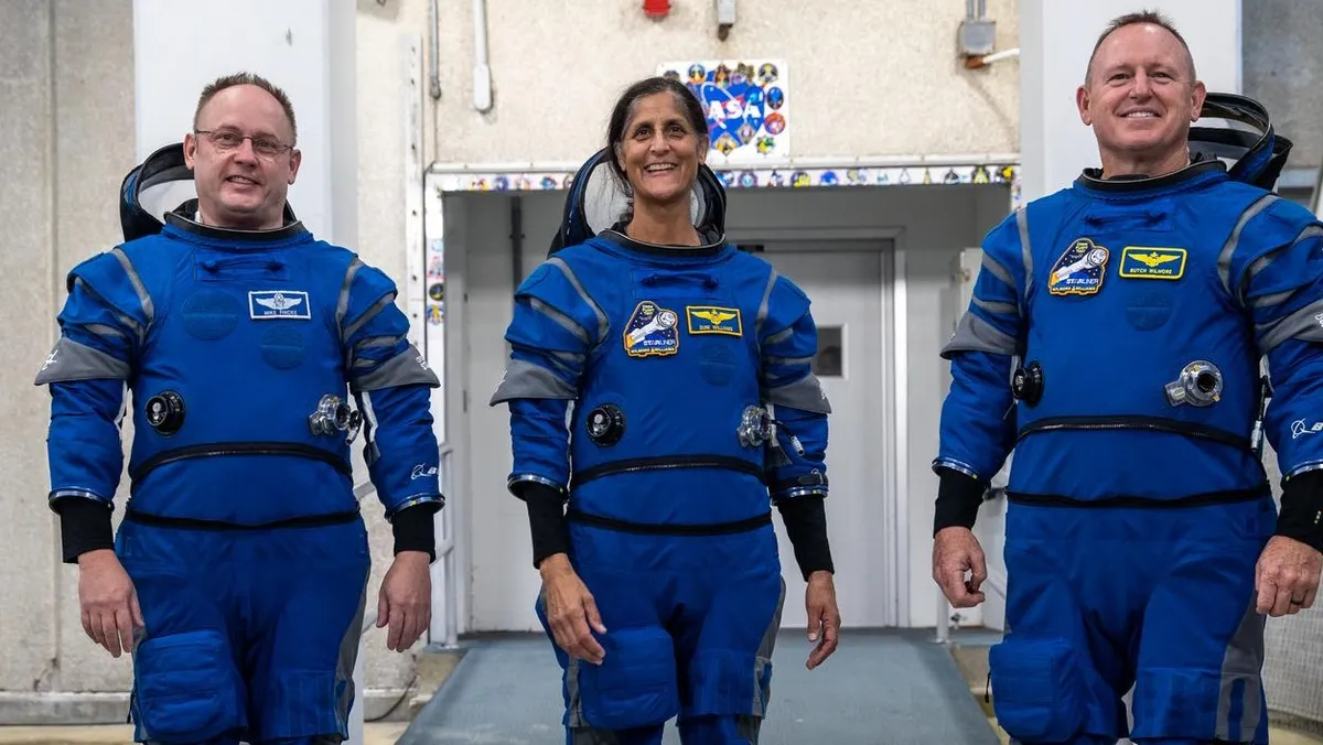
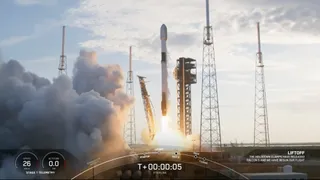
Starliner will make its first trip to space with astronauts no earlier than May 6. The historic flight also marks the crewed debut of a new generation of Boeing blue spacesuits.
For the chief leader of the SETI Institute, established to search for and understand life beyond Earth, there's a need to step back and cuddle up to a cup of cosmic reality.
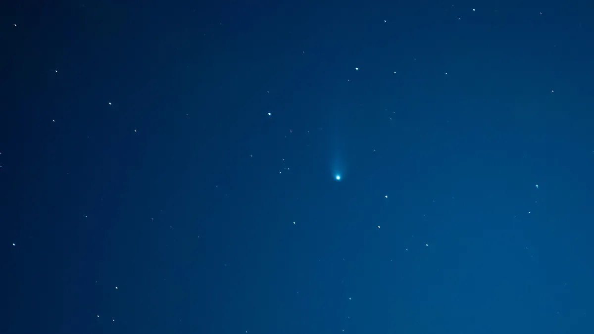
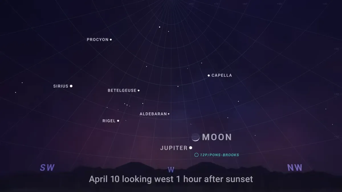
All you'll need to see comet 12P/Pons-Brooks this month, besides fair weather and a little luck, are good binoculars or a telescope and sky map to help guide you.

Apple TV+ is headed back to the past, and the future, with a fifth season of "For All Mankind" and new spinoff "Star City." Ronald D. Moore, Matt Wolpert and Ben Nedivi are returning to lead both.

Buying Guide The best DSLR cameras on the market can often outperform mirrorless models — here are our favorites from Nikon, Canon and more.