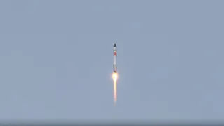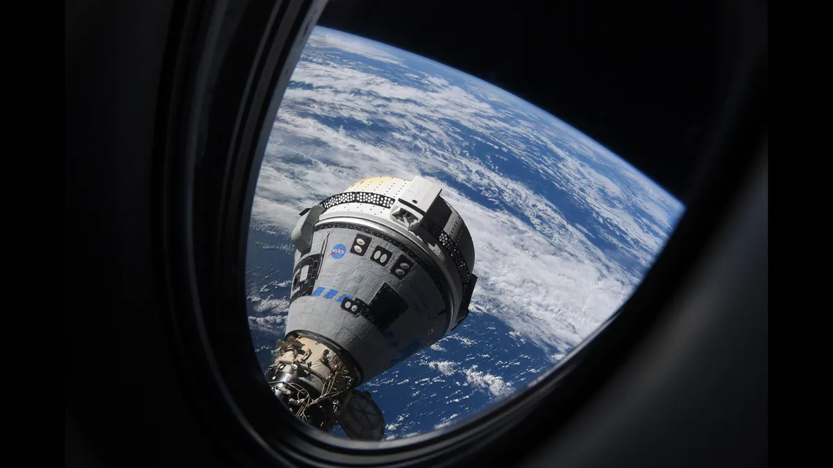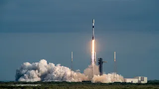
SpaceX launches 23 Starlink satellites, aces 300th rocket landing (photos)
A SpaceX Falcon 9 rocket sent 23 more of the company's Starlink internet satellites skyward today (April 23).
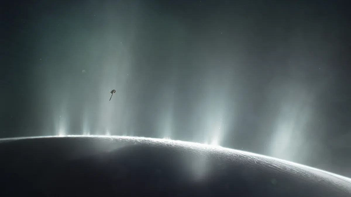
As a planetary scientist and astrobiologist who studies ice grains from Enceladus, I'm interested in whether there is life on this or other icy moons. I also want to understand how scientists like me could detect it.
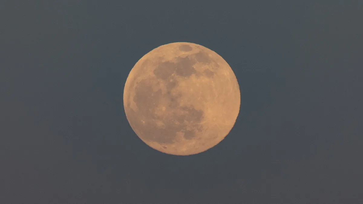
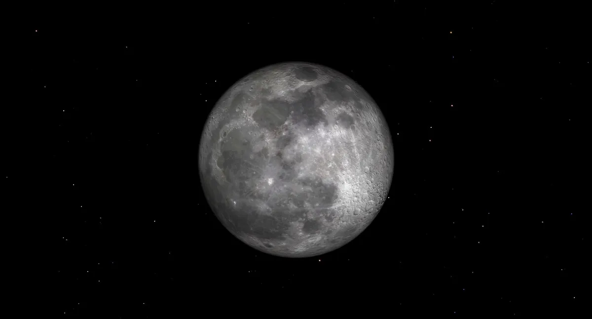
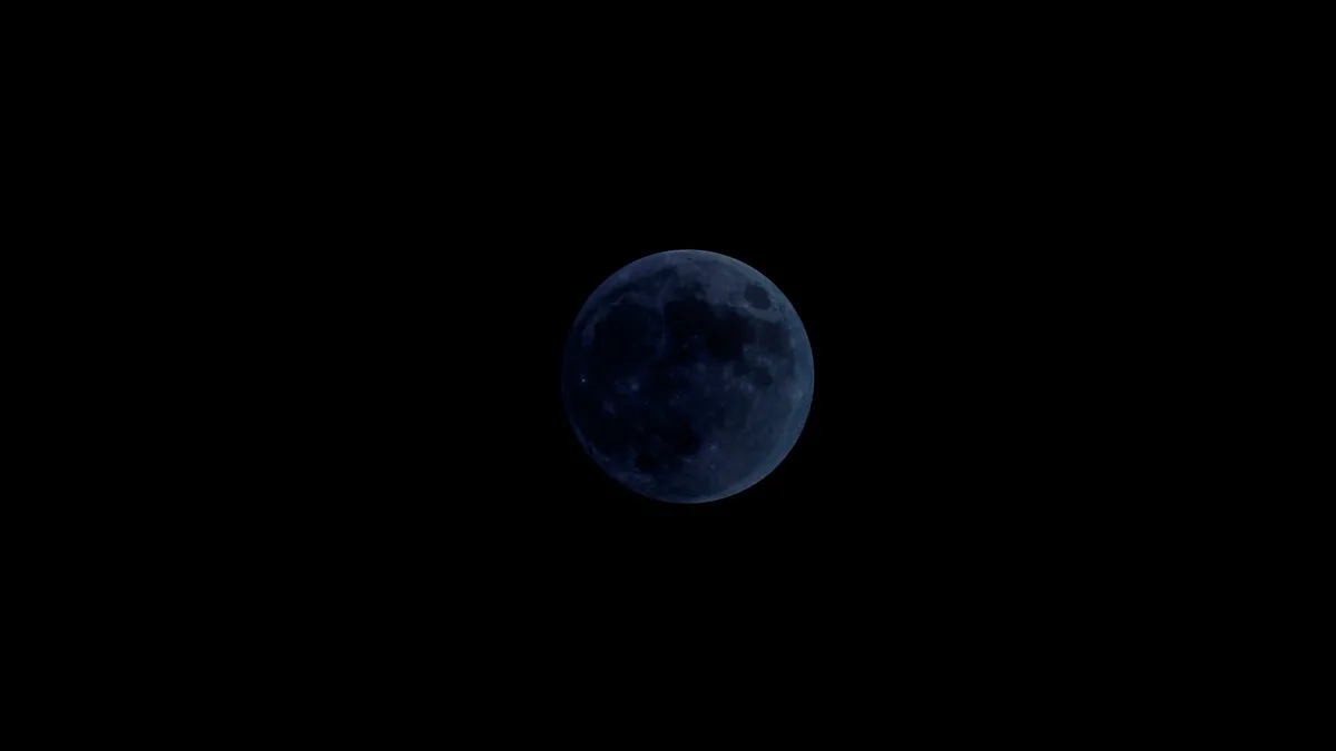
The full moon of April 2024, called the Pink Moon, will occur during the evening hours of April 23. Later that night, Mars and Saturn will rise in the predawn hours.

A review of Zack Snyder's "Rebel Moon — Part Two: The Scargiver."
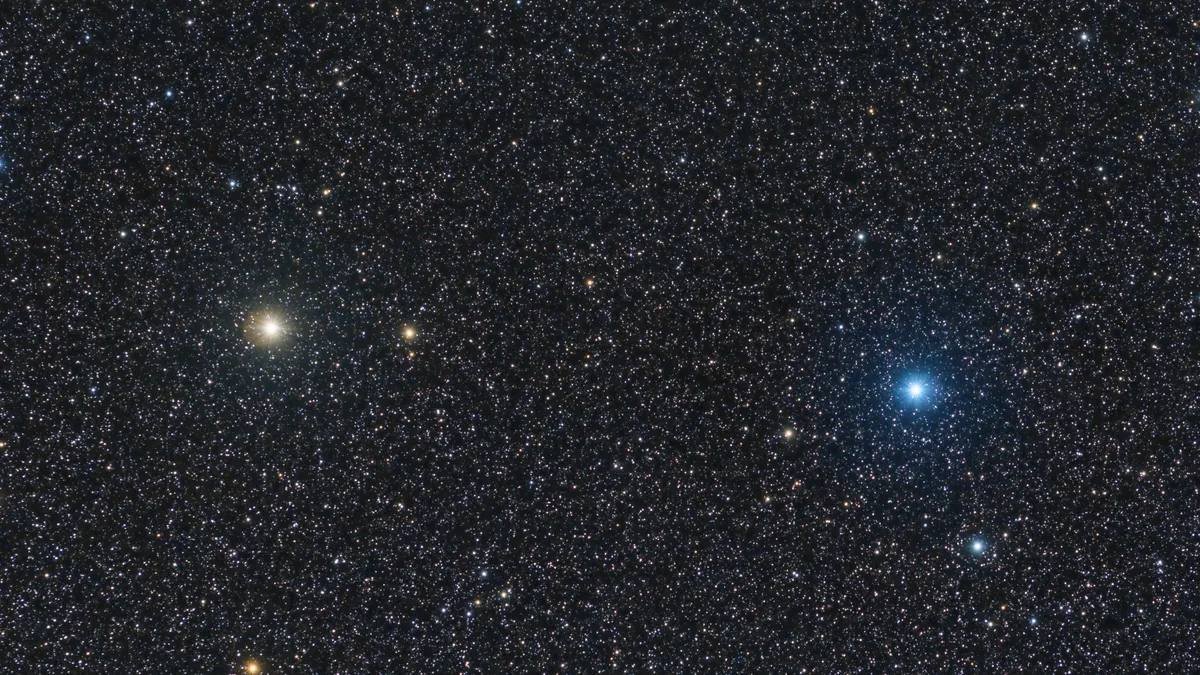
Castor, the second-brightest star in the constellation Gemini, is one of the most luminous stars over Earth and a key target for skywatchers, showing there is often much more to stars than meets the eye.