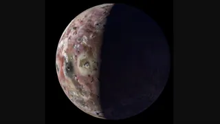
NASA's Juno probe captures amazing views of Jupiter's volcanic moon Io (video)
NASA's Juno probe continues to give us more insight into Jupiter and the giant planet's moons, including Io, the most volcanically active object in the solar system.
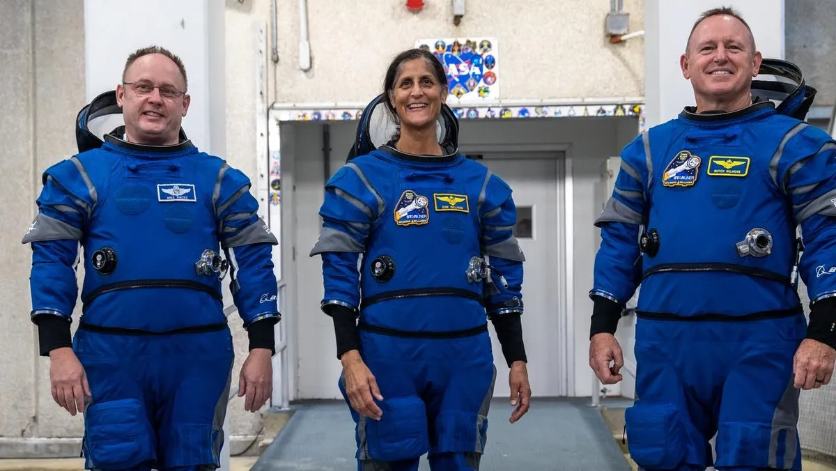
Starliner will make its first trip to space with astronauts no earlier than May 6. The historic flight also marks the crewed debut of a new generation of Boeing blue spacesuits.

The search for alien life can now include purple bacteria, thanks to a new catalog of chemical makeup of the lavender-hued organisms.
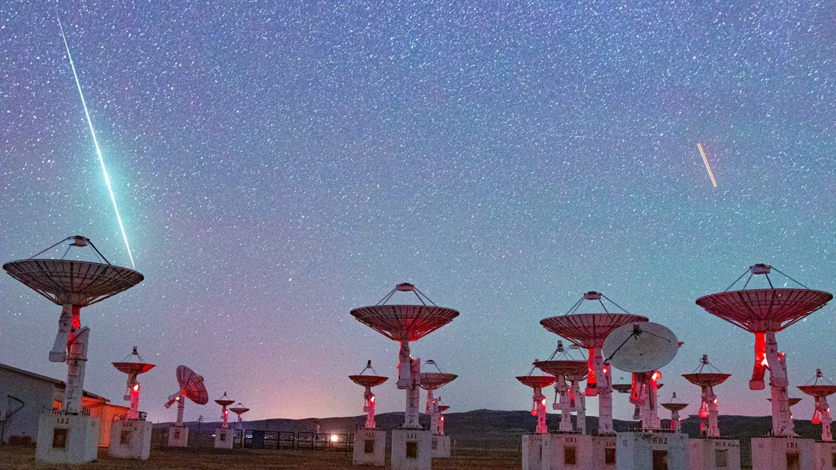
The annual Lyrid meteor shower peaks overnight on April 21-22, but unfortunately a bright moon will make it difficult to spot any 'shooting stars' this year.

Apple TV+ is headed back to the past, and the future, with a fifth season of "For All Mankind" and new spinoff "Star City." Ronald D. Moore, Matt Wolpert and Ben Nedivi are returning to lead both.

We've rounded up the best Lego Marvel sets, so get ready to assemble the Avengers and build Baby Groot.